Ordnance Survey confirms mountain status for Thack Moor
- Published

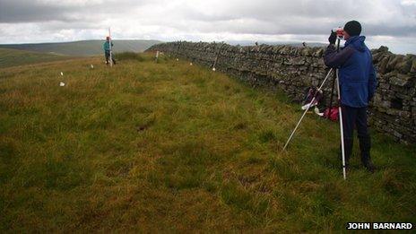
John Barnard, left, and Graham Jackson locate the summit of Thack Moor
A Cumbria peak has been declared a mountain after amateur surveyors found it was three quarters of an inch (2cm) higher than originally thought.
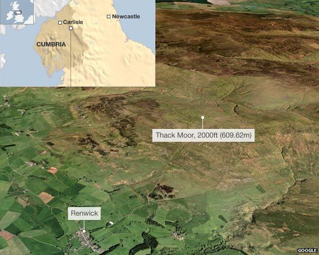
Thack Moor in the North Pennines, about 12 miles north of Penrith, is 2cm above the 609.6m (2,000ft) mark that signifies mountain status by Ordnance Survey's (OS) definition.
Enthusiasts measured the mountain twice using high-tech GPS equipment.
OS has now confirmed the measurements with its own analysis of the data.
John Barnard, Graham Jackson and Myrddyn Phillips, who make up G & J Surveys, are hobbyists who survey hills and mountains because of their interest in hill walking.
They measured Thack Moor because the height according to OS maps was 609m - just short of the magic mountain mark.
OS will now change its map readings to 610m.
'Very professional'
Mr Barnard said their first measurement had been so close, OS had asked them to go back and take a second reading.
"We thought, is it or isn't it? And then the second time we went up and confirmed with the extra data, we were very pleased we'd located another 2,000 footer," he said.
OS's Mark Greaves worked with the trio to confirm the measurements and said they were "very professional".
"They follow standard survey procedures. In fact they use the same equipment that our surveyors use," he said.
However, Mr Barnard said that there was no practical significance in the mountain classification, saying it was "just a word".
Nonetheless, the surveyors now have their eyes on another potential mountain - 609m Illgill Head in the Lake District - which they intend to measure "in the next year or two".

- Published21 September 2010