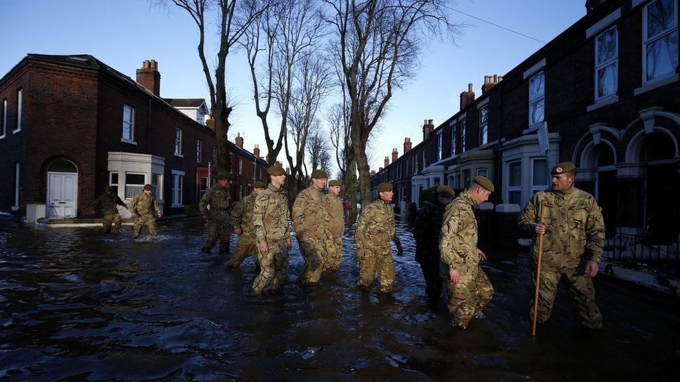
Storm Desmond: Cumbria bridges 'obstructed' water flow
- Published
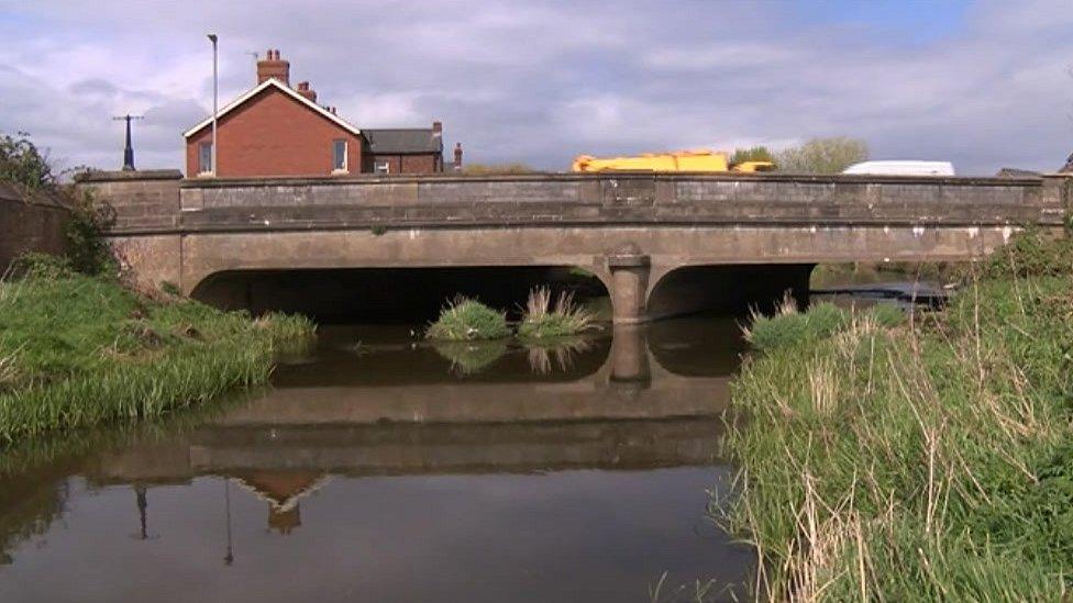
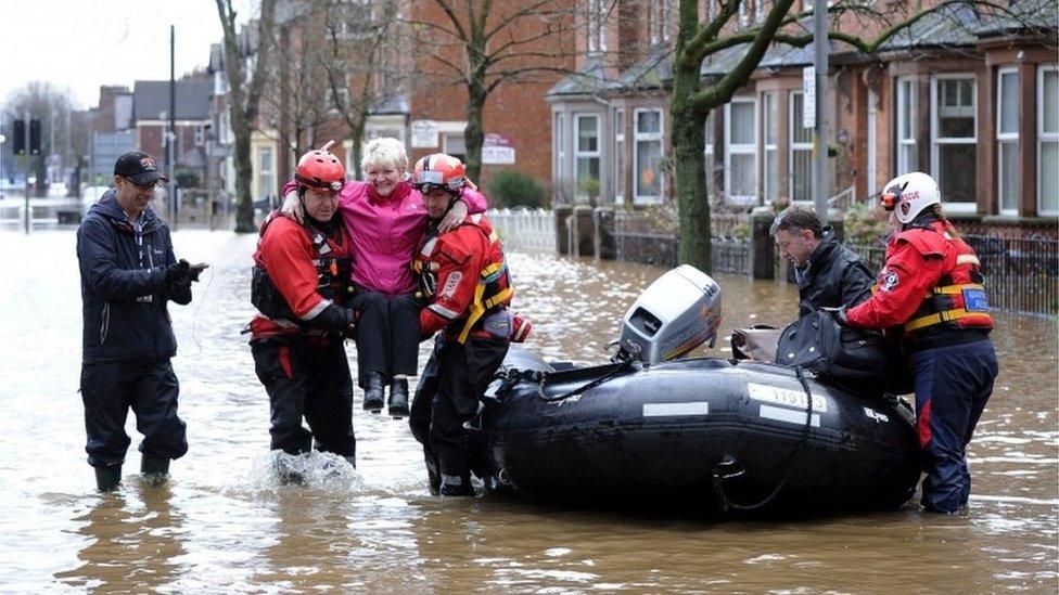
The report found floodwater spilled onto Warwick Road flooding nearby properties
Some bridges in Cumbria "obstructing" water flow could have contributed to severe flooding which hit the county in December, a report has found.
Thousands of properties were battered by Storm Desmond, depositing a record month's worth of rain in just one day.
A Flood Investigation Report has found Botcherby Bridge in Carlisle could have acted as an obstruction, leading to flood water spilling onto Warwick Road.
Resident Vincent White said the river flooding was "no surprise" to locals.
"I don't know why anybody didn't listen to the locals who told them that this would happen.
"I'm sick and tired of hearing people talk - I want action not words.
"It [Botcherby Bridge] simply hasn't the space beneath it to allow large volumes of water to pass under it and it acted like a dam," Mr White said.
The investigation found on 5 and 6 December, record-breaking rainfall led to widespread flooding from the Rivers Eden, Petteril, and Caldew, as well as flooding from surface water and drainage systems.
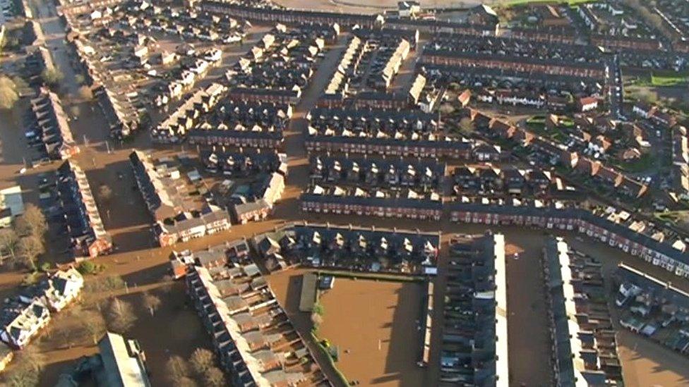
The view over Carlisle after Storm Desmond hit the county
Cumbria County Council local flood resilience manager, Doug Coyle, said the council has a "bit of detective work" to do.
As well as examining the impact of bridges, the efficiency of the city's drainage system is also under scrutiny.
The report was carried out by the Environment Agency in partnership with Cumbria County Council, external, with 17 actions recommended to reduce flood risk.
People affected by the flooding are being invited to flood forum events on the 9 and 11 May to give their views on the report.
Environment Agency flood recovery manager, Kath Tanner, said: "The local knowledge people have already provided has helped us pinpoint exactly which properties flooded, and where they think the water came from.
"These meetings provide an opportunity to review our findings so people can identify gaps and confirm our current thinking."
- Published28 February 2016
- Published9 December 2015
- Published7 December 2015

- Published6 December 2015
