Google makes virtual Peak District trails
- Published
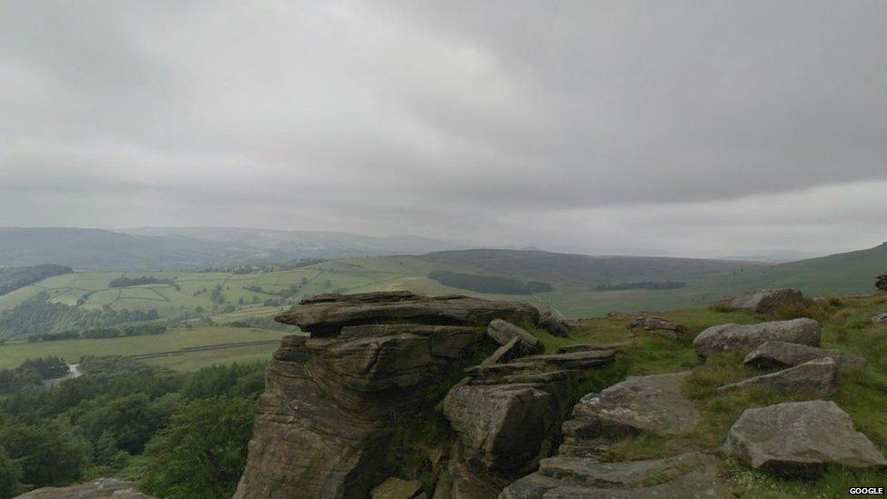
The locations captured include North Lees
The Peak District has become the first national park to have its trails and hard-to-reach locations captured on Google Street View.
The Peak District National Park Authority hopes more people will be inspired to visit the park after experiencing the landscape online.
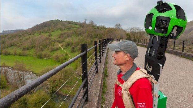
National park volunteers recorded 360 degree images by using Google Trekker equipment - a backpack fitted with a cluster of 15 camera lenses.
Filming took place over the summer.
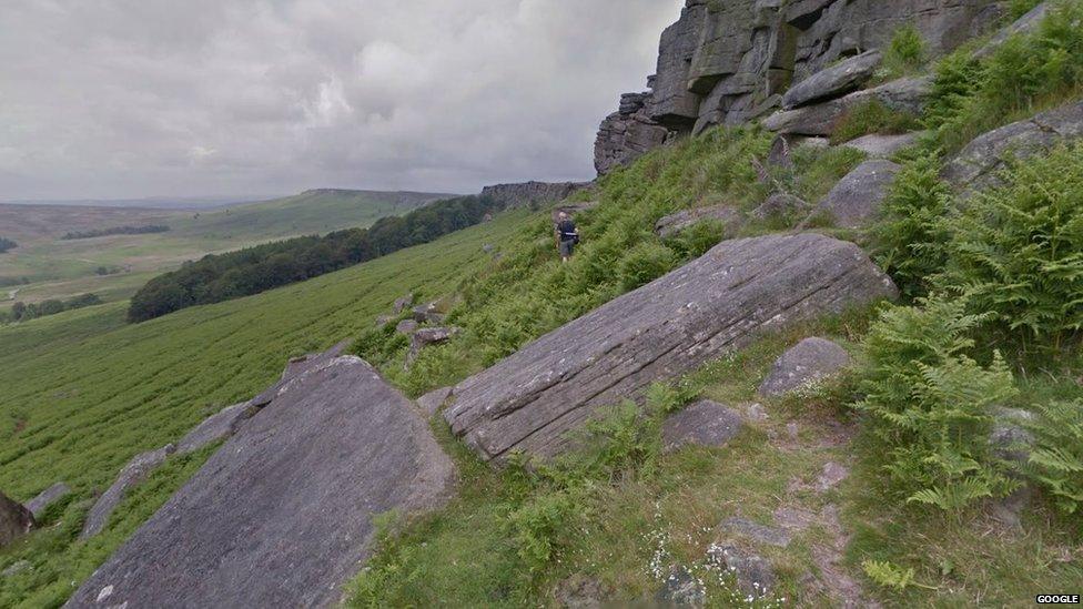
The landscapes were captured using Google Trekker equipment
Jim Dixon, chief executive of the Peak District National Park, said: "It is our ambition that, by being on Google Street View, more people will enjoy the wonders of this protected and special landscape.
"Once people see it, I am sure they will be inspired to come and stay for a few days to explore first-hand what they have experienced online."
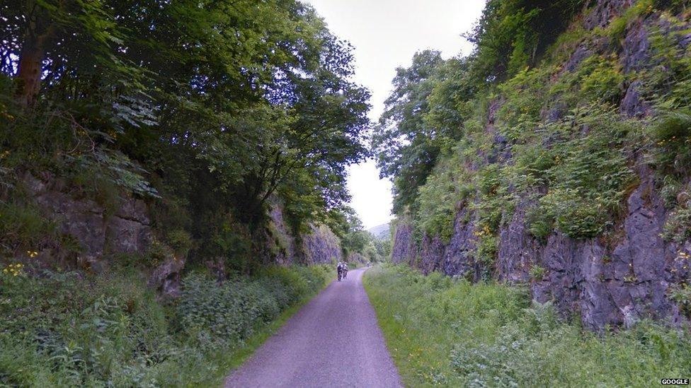
The cameras visited locations the Street View car cannot reach, such as the Monsal Trail
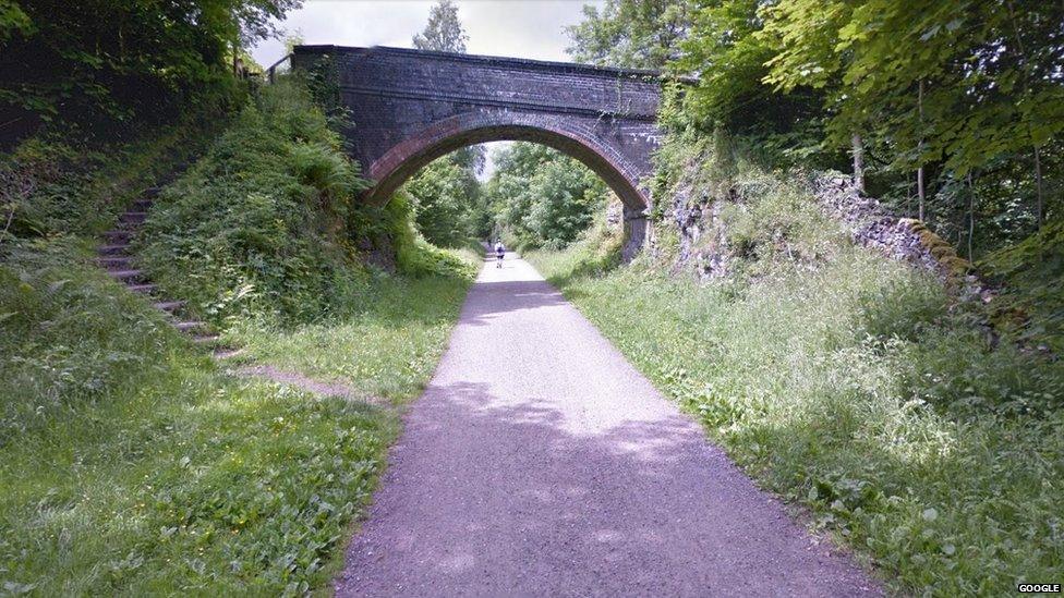
The Monsal Trail is along a former railway line
Google Street View previously only allowed people to view the Peak District from roads.
However, the Trekker equipment is designed to capture locations the Street View car and tricycle cannot reach.
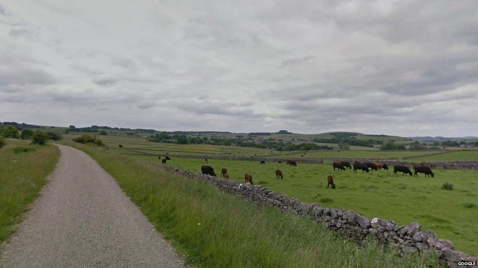
Highlights captured include the Tissington Trail
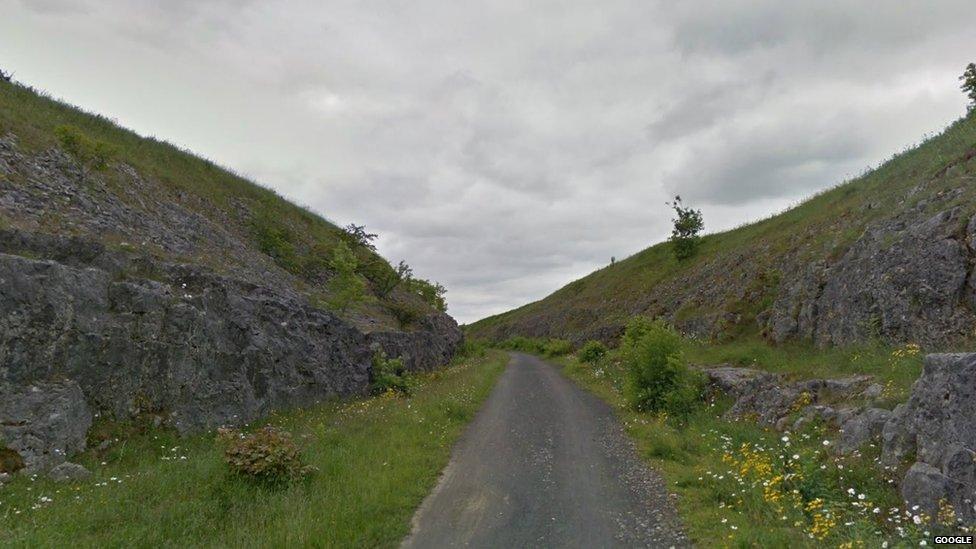
The Tissington Trail is part of the National Cycle Network
It was deemed impractical to film "every inch" of the 555 sq mile (1,440 sq km) park, so highlights were selected.
These include North Lees, external, the Monsal Trail, external, Tissington Trail, external and High Peak Trail, external.
The Peak District became the UK's first national park in 1951, and Google said making it virtually accessible was in the park's "true pioneering spirit".
Previous locations captured by the Trekker technology include the Grand Canyon and the Taj Mahal.
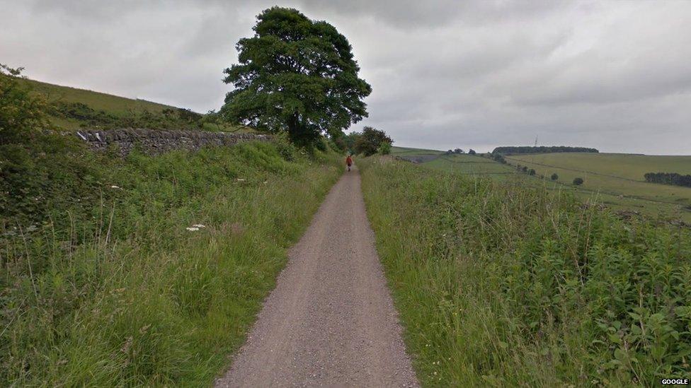
The High Peak Trail is also part of the National Cycle Network
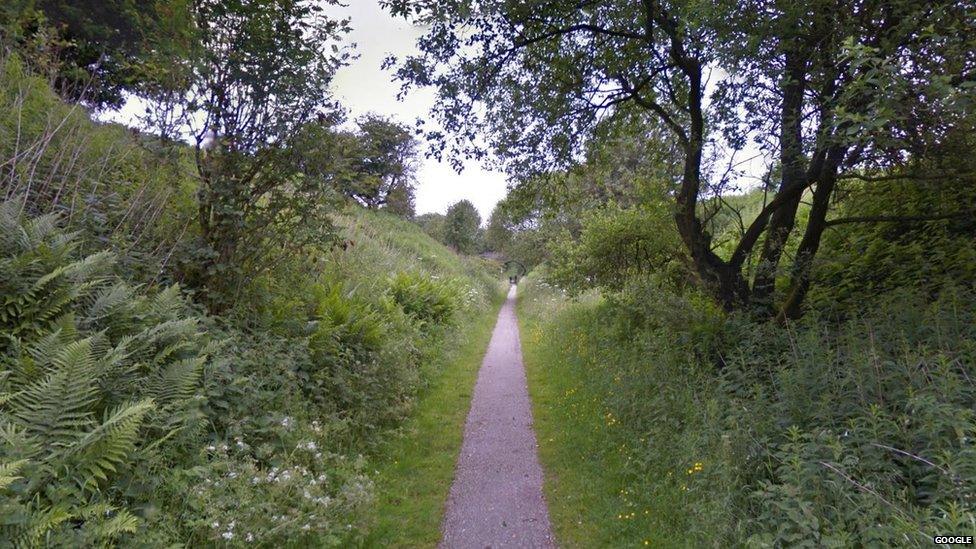
It follows a railway line which closed in the 1960s
- Published17 April 2014
- Published13 February 2014
.jpg)
- Published15 August 2013
- Published15 August 2013
- Published11 December 2013
- Published13 August 2012

- Published25 April 2012
