Fallstreak hole: Unusual 'holepunch' cloud captured in East Midlands
- Published
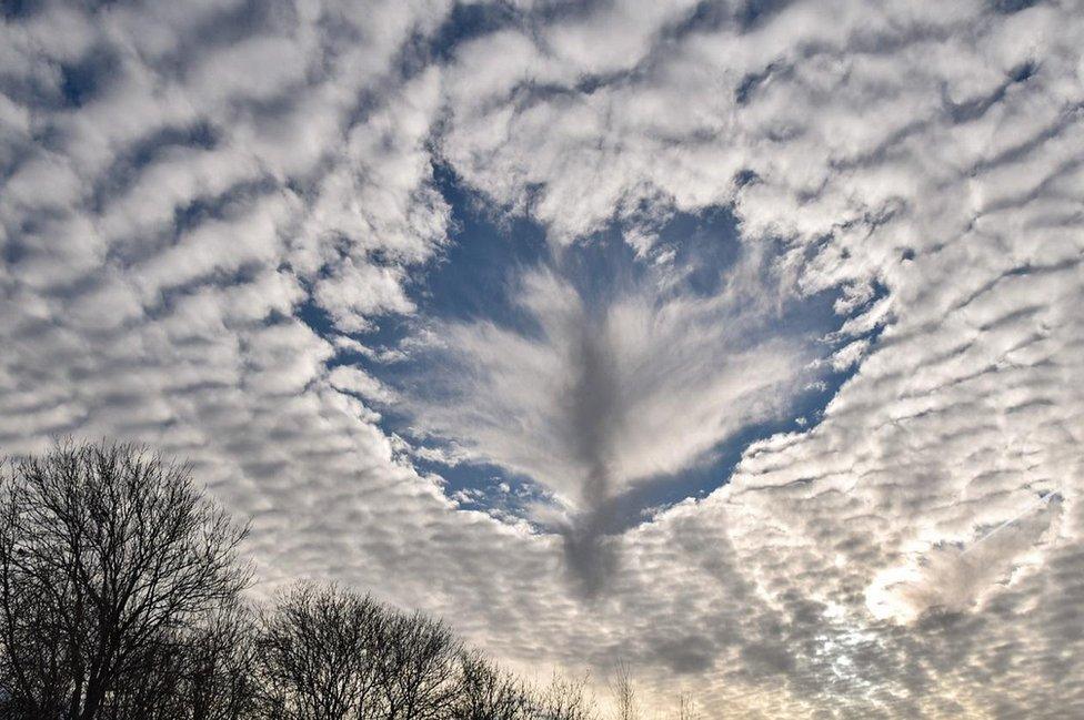
A fallstreak hole, like this one in Nottingham, forms when part of the cloud layer forms ice crystals
The impressive winter sky has produced a visual spectacle that got photographers and BBC Weather Watchers reaching for their cameras.
A fallstreak hole was visible in the clouds above Nottinghamshire and Derbyshire on Tuesday.
The unusual formation appears as a large circular gap in a blanket of clouds.
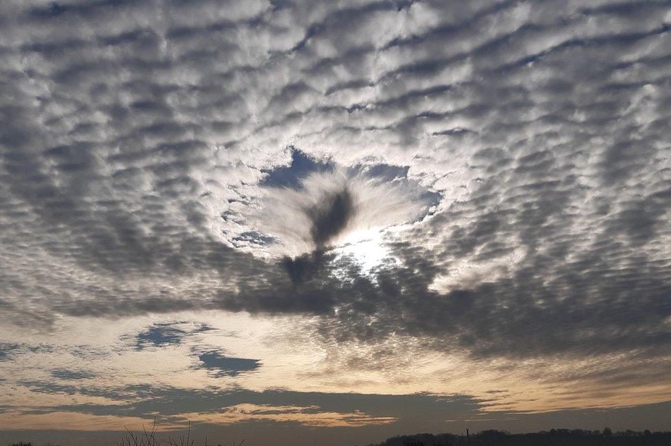
The fallstreak hole was visible in Riddings, Derbyshire
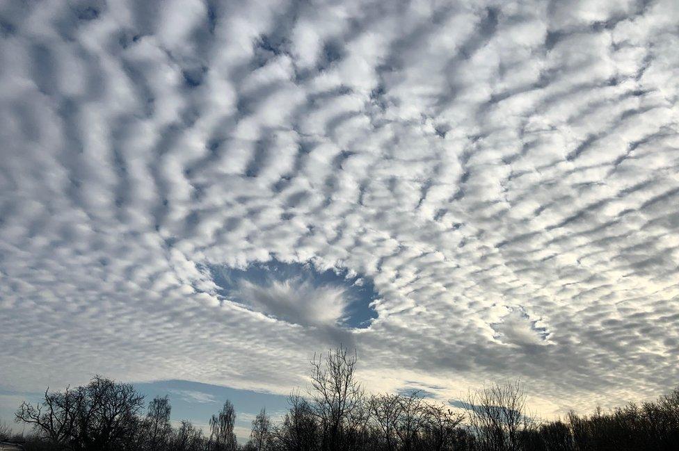
The Met Office says a fallstreak hole, like this one in Little Eaton, is formed when an aircraft passes through a cloud of supercooled water droplets
The Met Office says a fallstreak hole, also known as a holepunch cloud, form in clouds of supercooled water droplets below 0C but not yet frozen.
It said: "Aircraft punching through this cloud layer can cause air to expand and cool as it passes over the aircraft wings or propeller.
"This change in temperature can be enough to encourage the supercooled droplets to freeze and fall from the cloud layer in this distinctive pattern."
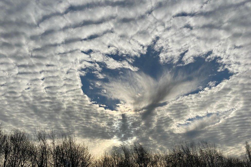
The view from Sutton-in-Ashfield

Analysis
By Alexandra Hamilton, BBC East Midlands Today weather reporter
It happens when you get water droplets that are supercooled, starting to turn to ice.
Around the outside the water droplets are still in their state of water whereas in the middle it has already started to turn to ice.
As they turn to ice they give off a tiny bit of heat and that's just enough to evaporate the surrounding water droplets and then you get this hole forming in the cloud.
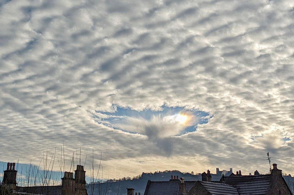
Over the rooftops in Matlock, Derbyshire
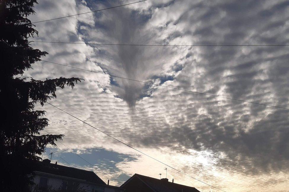
Under the clouds in Draycott, Derbyshire

Follow BBC East Midlands on Facebook, external, on Twitter, external, or on Instagram, external. Send your story ideas to eastmidsnews@bbc.co.uk, external.
Related topics
- Published19 January 2022

- Published20 December 2021
