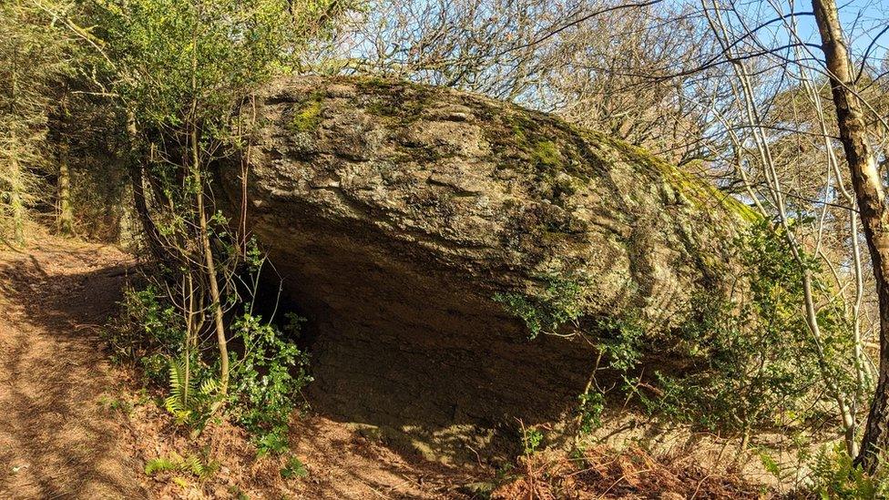
'Hidden gem' Dartmoor tor back on maps after removal
- Published

Hollowpark Rock tor had been vacant from the map since 1963
A hidden tor in Devon has been put back on Ordnance Survey maps nearly 60 years after being taken off.
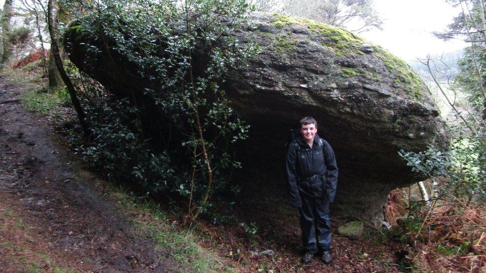
Max Piper, 19, raised a query after stumbling upon Hollowpark Rock on Dartmoor in 2018 and finding it was only on historic sheets.
Map agency Ordnance Survey said it believed its deletion was because it was removed from "larger scale plans".
It said the rock had already been added to its landranger maps, and would soon be back on its explorer maps.
Max Piper said he had stumbled upon several outcrops that appeared to be nameless.
The Torquay-born Dartmoor enthusiast said he contacted the agency in September 2021 through its online error form to prompt the tor's addition after research found it had not been on maps since 1963.

Max Piper in front of Hollowpark Rock in 2018
He said: "I think it is important to preserve historic place names that, were they not listed somewhere, would be lost.
"Seeing the name back on the landranger map is a great feeling. It may only be a name, but, to me, it's so much more than that."
Hollowpark Rock tor, on the outskirts of Bridford, on the east of Dartmoor, is isolated off a bridleway.
Mr Piper, who hopes to release a book this year, said he believed it would remain a "hidden gem", but he hoped others would seek it.
He said it was one of a number of lost tors discovered through "meticulous research" by himself and friends who run and maintain the Tors of Dartmoor website.
Ordnance Survey said the information it had "on historical mapping is limited" but that "smaller scale maps derive text from larger scale plans, therefore, when those are revised, any relevant text that has been deleted at larger scale would have been removed too".
It confirmed Hollowpark Rock had been "added into the main database and will filter through to the mapping products that it's relevant to in due course".

Follow BBC News South West on Twitter, external, Facebook, external and Instagram, external. Send your story ideas to spotlight@bbc.co.uk, external.