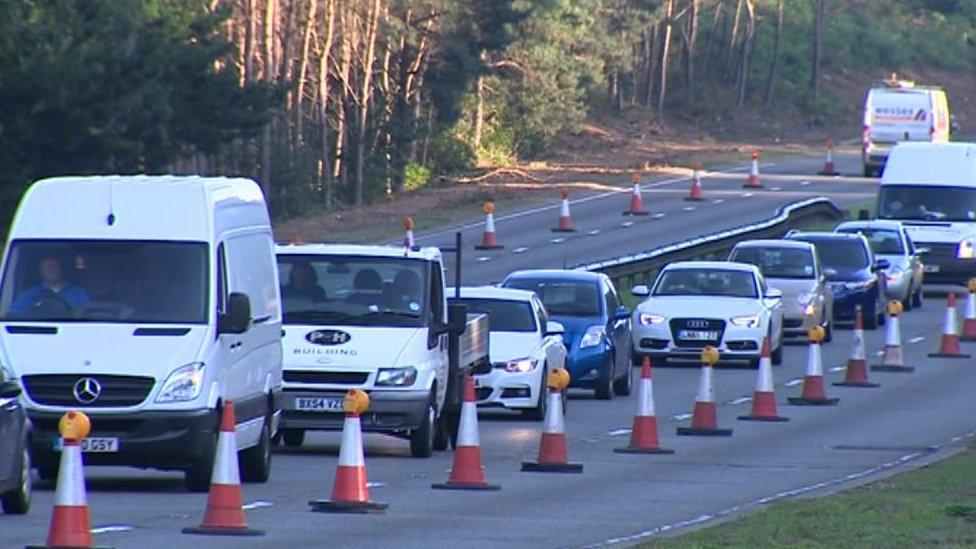
'Green belt lost' in new Bournemouth A338 junction plan
- Published
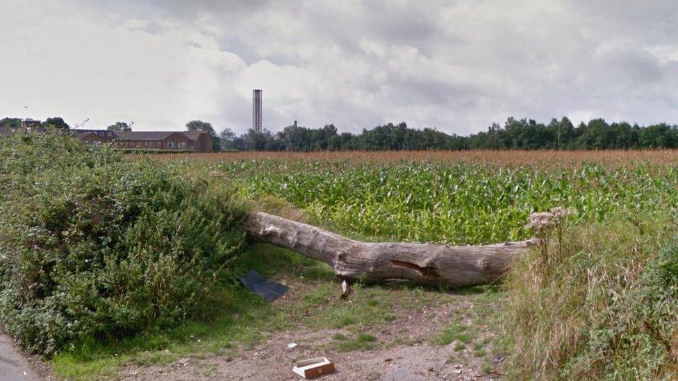
Some green belt land would be lost to the scheme
Plans to redesign the road network near Bourmemouth's main hospital will result in the loss of green belt land and wildlife habitat, objectors say.
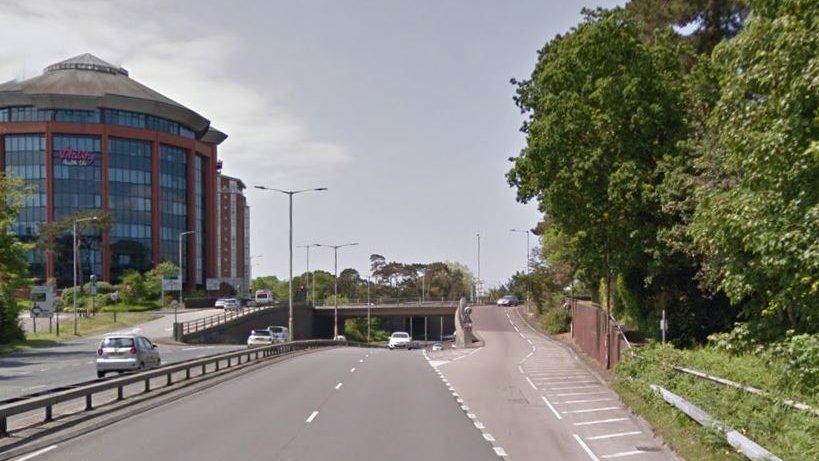
The borough council wants to build a new link road and junction from the A338 Spur Road, east of the hospital, and reconfigure connecting roads.
Hundreds of people have objected, the Local Democracy Reporting Service said.
The council said the plans, which have been recommended for approval, would ease congestion and create jobs.
Bournemouth Borough Council appointed consultants Blueprint Planning to act as planning officer to assess the Wessex Fields application to "aid capacity" at its planning department following the departure of one of its officers.
'Disgraceful idea'
A report by Blueprint's David Innes has recommended the "major highway infrastructure project" for approval when it is considered on 28 January.
Witten objections say the scheme, which would unlock land for a new business park, is a "disgraceful idea" which would generate more traffic.
The plans have already been revised following pleas to retain a 16th Century barn at the side of the dual carriageway which, according to Bournemouth Civic Society, is the oldest building in Bournemouth.
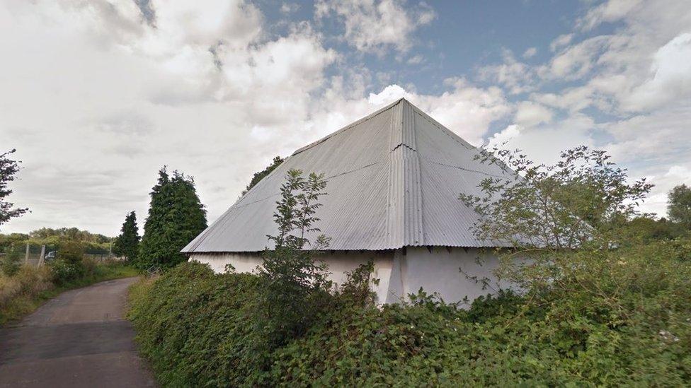
The Cob Barn next to the A338 is thought to be the oldest building in Bournemouth
- Published11 September 2018
- Published5 November 2016
- Published28 May 2016
