West Bay: Pebbles fitted with trackers for beach study
- Published

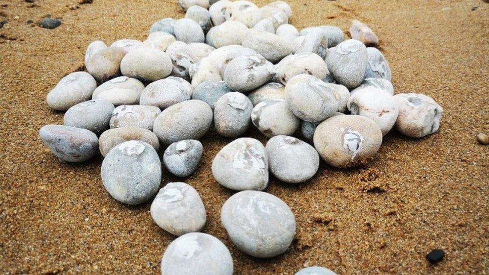
Pebbles are taken from the beach, cut with a water jet and a tag is placed inside
Pebbles fitted with tracking tags have been scattered along a Jurassic Coast beach to see how they travel along the shore.
The 1,200 pebbles at West Bay in Dorset will be used to record the movement of beach shingle over a year.
The study aims to show how quickly and far beach material moves to help plan dredging and beach topping up works.
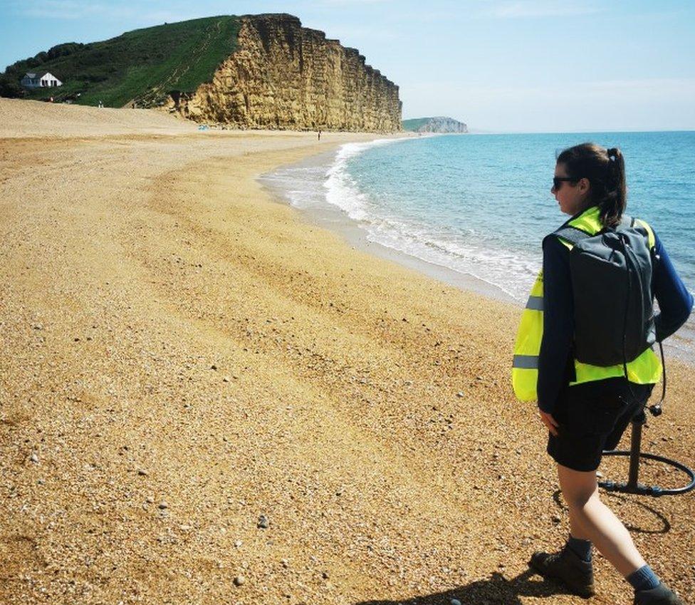
The pebble's movements are tracked using a specialised scanner and a Global Positioning System (GPS).

The pebbles have been fitted with radio frequency ID tags so they can be tracked using a scanner
The 'tracer' pebbles used are taken from the beach cut with a water jet and fitted with a tag before being placed in the waves.
The project is being carried out by Coastal Partners for Bournemouth, Christchurch and Poole Council (BCP) and Dorset Council.
Dr Sam Cope from the research team said: "The beauty of the technique is that we are picking up native material so that when we put them back on the beach they are behaving in exactly the same way.
"The tracers in combination with other data show us precisely where the material is moving from and to."

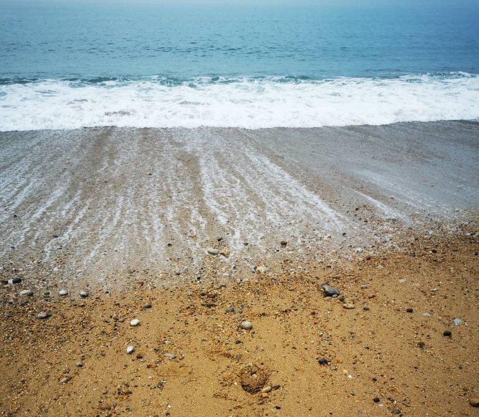
The pebbles will be tracked over the next year
Matthew Penny of Dorset Council's Flood & Coastal Erosion Risk Management said: "These pebbles will help show us where the sediment will leave or stay close on the beach.
"It's the sort of data that you wouldn't get from a conventional research method - it's really helping us advance this area of study."
The results are expected to show where shingle can be recycled to and from and flag up areas where it is likely to be lost.
It could also reveal if groynes or piers could be used to control the movement of the material and where they would need to be placed.
The £96,460 study has been funded though £86,460 of local levy funding a £4,000 Standing Conference on Problems Associated with the Coastline contribution, £2,500 from Dorset Council and £3,500 from the Environment Agency.

Follow BBC South on Facebook, external, Twitter, external, or Instagram, external. Send your story ideas to south.newsonline@bbc.co.uk, external.