Philippines map breaks Essex auctioneers' record
- Published
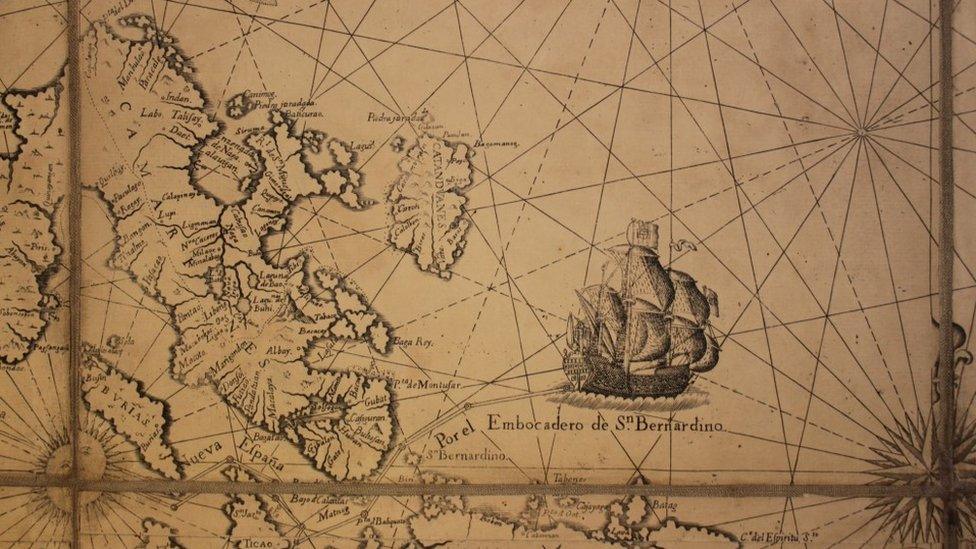
The Murillo Velarde map details trading routes between islands and mainland China
A 300-year-old map described as "the Holy Grail" for collectors has broken an auction house's record after changing hands for £260,000.
Just 15 copies of the 1734 Murillo Velarde map of the Philippines are believed to have survived.
The sale price was the highest for a single lot in the 138-year history of Reeman Dansie Auctions in Essex.
Auctioneer Daniel Wright said: "For collectors in this niche field, this map is the Holy Grail.
"There's only 15 known copies and most of them are in institutions such as the British Museum, so for one to come to market is very unusual."
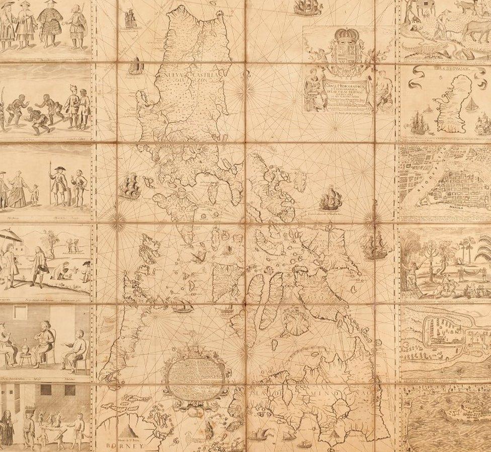
The full map, measuring more than a metre square, is drawn on paper and mounted on linen
The map was one of 90 lots sold from the collection of the late Christopher Beresford-Jones, a prominent collector in the field, which together fetched nearly £500,000 at auction in Colchester.
Mr Wright said "tremendous interest" had been shown from around the world, with more than 800 online bidders and a full salesroom.
"The more time you spend with the map, the more you can understand the passion people have for it," he said.
The Murillo Velarde map was drawn when the Philippines was a Spanish colony and lauded in its day for its intricacy and accuracy.
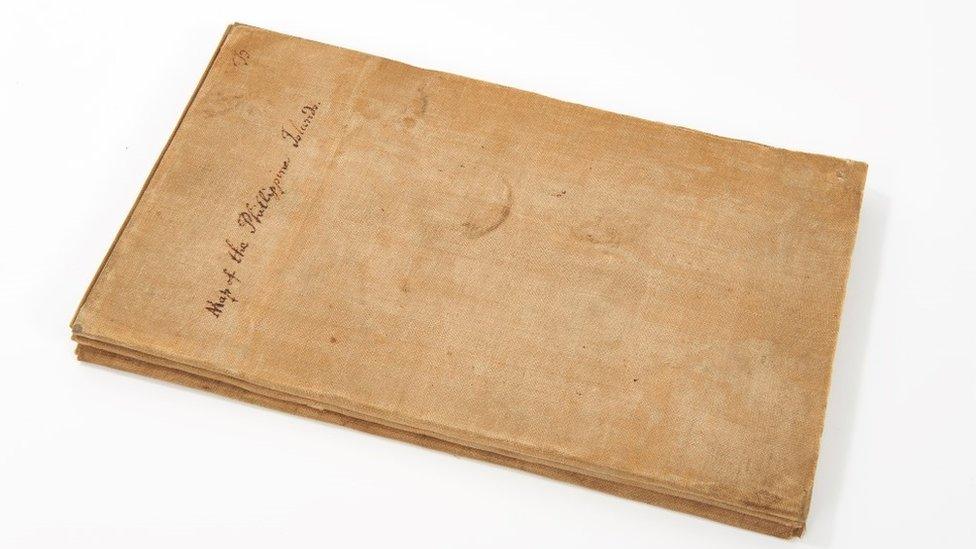
The map, seen here folded, was sold for £260,000 to a phone bidder
Drawn on paper, it has been mounted on linen and measures more than a metre square - an unusually large map for its time.
As well as detailing the islands, it also features shipping routes for trade with China, and drawings of the archipelago's inhabitants and natural resources.
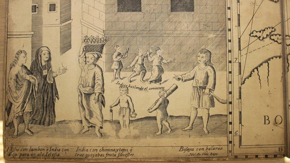
The map is illustrated with images depicting the inhabitants and natural resources of the Philippines
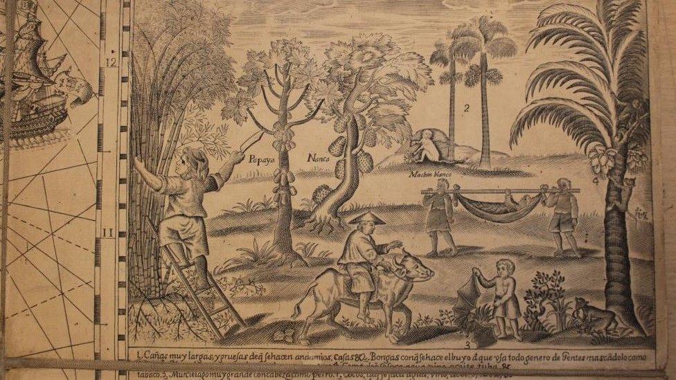
The map was intended to navigate by, but also to promote the Philippines' resources to its Spanish colonial rulers
"These islands are numerous and rich: they have gold, wax, sugar, honey, tobacco, ginger," it reads, adding they were also famed for "cassia-trees, Catbalogan seeds, [and] dragon blood".
Experts say it influenced subsequent maps of the region for decades, but its design also had an impact on European maps.
The map was also used by the Philippines as recently as 2016 to dispute China's claim to have sole historical ownership of the South China Sea, on which the Permanent Court of Arbitration ruled in 2016.
- Published25 September 2019
- Published24 September 2019
- Published16 August 2018
