Belhus Park: Historic photos show estate's wartime role
- Published

A photograph from 1929 shows the manor house on the site, which was demolished after the war
Analysis of historic photographs has revealed more about how a park in Essex was used as a military camp during World War Two.
More than 300 aerial photographs of Belhus Park in Thurrock were studied by Historic England.
The wartime images showed there were hundreds of tents used for soldier accommodation on the site.
Historic England said there were still "mysteries" about the role of the park during the war.
It has appealed for anyone with photos, drawings, film clips or local knowledge of the site to get in touch.

Belhus Park is now home to a golf course
The estate, which is currently home to a golf course, has been on the Heritage at Risk Register since 2018.
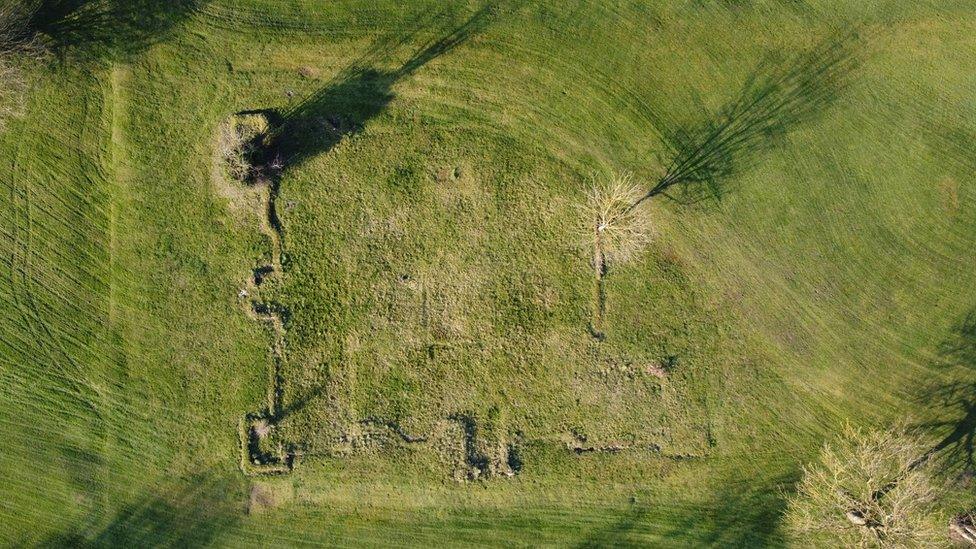
In 2021 the remains of 17th Century gardens were discovered under the fairway.
During World War Two, Belhus was damaged by bombing and military occupation. The house was demolished in 1957.
Historic England said it hoped the information gathered from the analysis of the images would be "an invaluable resource for the restoration and improved management of Belhus Park and its future removal from the Heritage at Risk Register".
While the oldest images found date from 1929, the earliest vertical photographs of Belhus Park were taken by the Royal Air Force in April and July 1944, around the time of the D-Day landings.
The park was temporarily home to part of a follow-up force "L" which landed on the Normandy beaches in the days after D-Day, Historic England said.

A cropped aerial photograph shows the Second World War military camp within Belhus Park in April 1944
The images also appeared to show that paths had been hardened across the site, possibly to support the volume of military vehicles travelling across it.
In photos from July 1944, there were small ditches near to tents which could have been weapons pits, researchers said.
By May 1946 the layout of the site had "completely changed", with new buildings erected and more than 400 tents.
Historic England said the purpose of the post-war camp was "not known", but it could have been used to house soldiers awaiting demobilisation, as a displaced persons' camp or even to house prisoners of war.
Amanda Dickson, mapping investigator with Historic England, said it was "fascinating" analysing the images.
"I am particularly curious to know about those people who were living and operating within Belhus Park just before an RAF aeroplane flew over and took the photograph on 1 May 1946," she said.
"I'm looking forward to members of the public sharing their own stories and hopefully providing that information."

Find BBC News: East of England on Facebook, external, Instagram, external and Twitter, external. If you have a story suggestion email eastofenglandnews@bbc.co.uk, external
Related topics
- Published15 July 2021