Portsea Island: Thousands of homes at 'immediate risk' of flooding
- Published

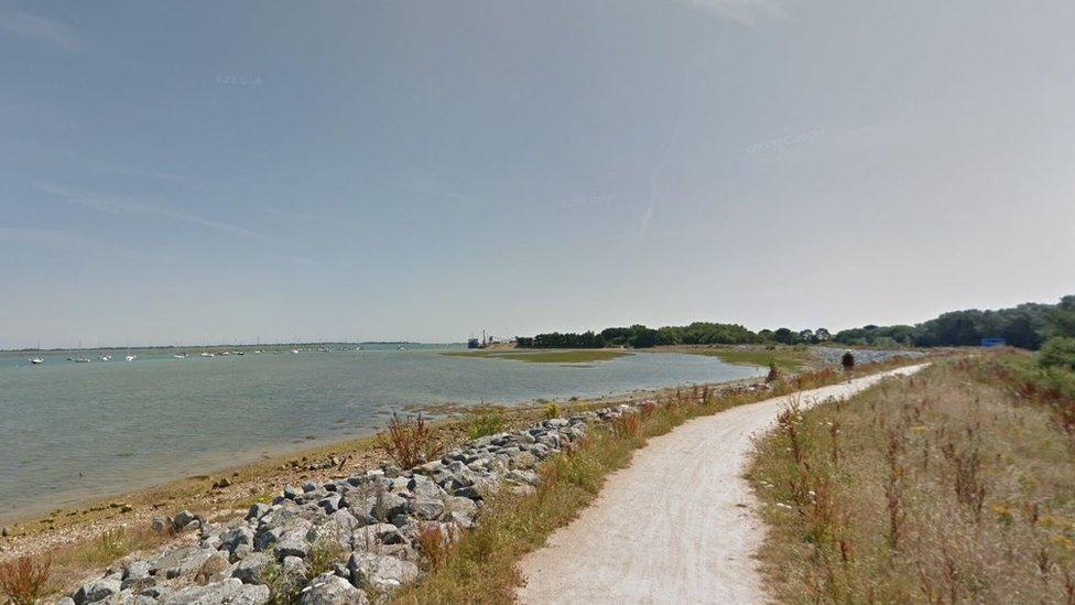
The area at risk lies between Portsea Creek Roundabout and the viaduct in the north area of Portsea Island
There is a "considerable and immediate flood risk" to thousands of homes in a coastal area of Hampshire, a council partnership has said.
Coastal Partners has submitted plans to secure a 1.25km stretch on the north side of Portsea Island, which will be reviewed by Portsmouth City Council's planning committee.
The proposal would see the raising and replacing of existing defences.
It aims to protect 4,200 residential properties for the next 100 years.
The area, between Portsea Creek Roundabout and the viaduct, also has 490 commercial properties, two access roads, a railway route, landfill sites and 89 electrical substations, which are all at risk of flooding.
Planning documents state: "Due to the low-lying nature of the land, condition of the existing coastal defences and the predicted effects of climate change, there is considerable and immediate flood risk to the North Portsea Island area.
"The scheme, as set out in the submitted plans and documents, minimises the impact on both the natural and historic environment, proposing significant mitigation against harm through the design, construction and operational stages.
"Where possible, it also takes the opportunities to enhance and improve the character and quality of the coastal area and the way it functions, as well as specific enhancements for ecology, biodiversity and the experience of footpath users."
The defences have an embankment-based design using two different types of "rock and earth revetment/embankment".
The latter would create a new coastal path for walking and cycling, it added.
Planning officers have recommended approving the scheme, which they describe as an "essential piece of infrastructure for the city", which would contribute to economic growth.
The project, which will be discussed by Portsmouth City Council's planning committee on 31 January, external, is expected to be funded by Flood and Coastal Erosion Risk Management Grant in Aid (FCERM-GiA).
Additional reporting by Sue Paz, BBC News.

Follow BBC South on Facebook, external, X, external, or Instagram, external. Send your story ideas to south.newsonline@bbc.co.uk.