Environment Agency warns of worsening picture after flooding
- Published
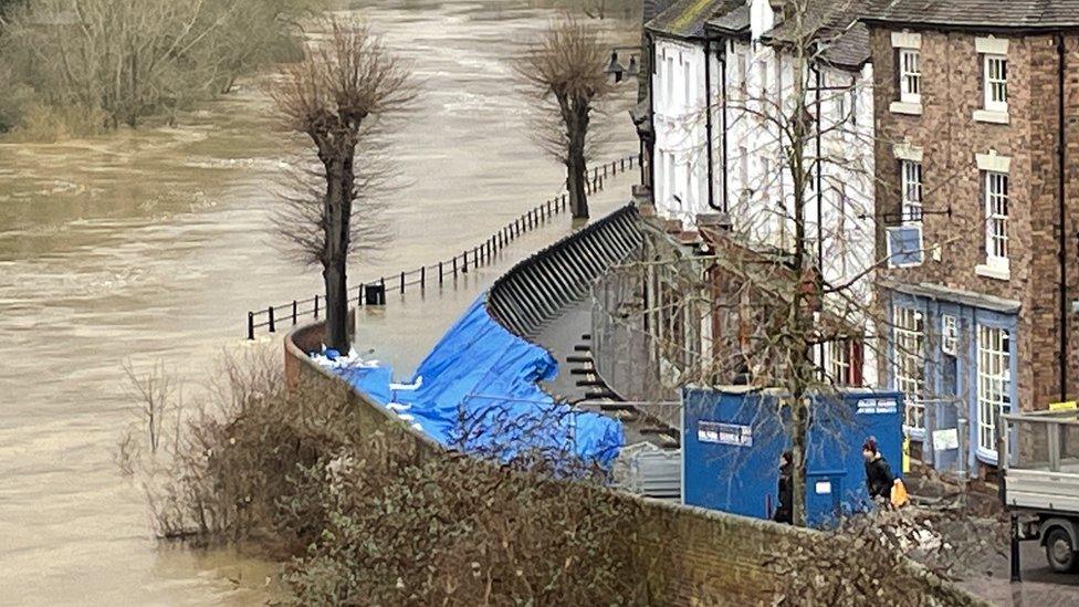
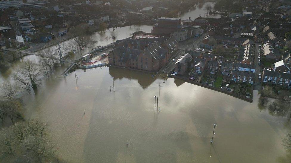
In Ironbridge, water levels reached about 5.76m on Saturday morning
The situation is probably going to "get a little bit worse" before improving, the Environment Agency says, following flooding in the West Midlands.
The River Severn is expected to peak in Bewdley, Worcestershire, on Saturday night and Worcester on Sunday.
The river peaked at Welsh Bridge in Shrewsbury on Friday evening.
Thirteen flood warnings are in place in Shropshire with 20 in Worcestershire along with a yellow warning for rain that also applies to Herefordshire.
Over 100 flood warnings are in place across the country - mainly in west and southwest England - as people across the UK are urged to prepare for more rain, flooding and cold weather in the coming days.
There were more than 30 flood warnings in Worcestershire and Shropshire on Saturday
Elsewhere in Shropshire, water levels were expected to peak in Ironbridge by early Saturday afternoon and Bridgnorth in the evening.
Flood defences remain in place in Frankwell, Shrewsbury, with properties protected, Chris Bainger from the Environment Agency (EA) told BBC News on Saturday.
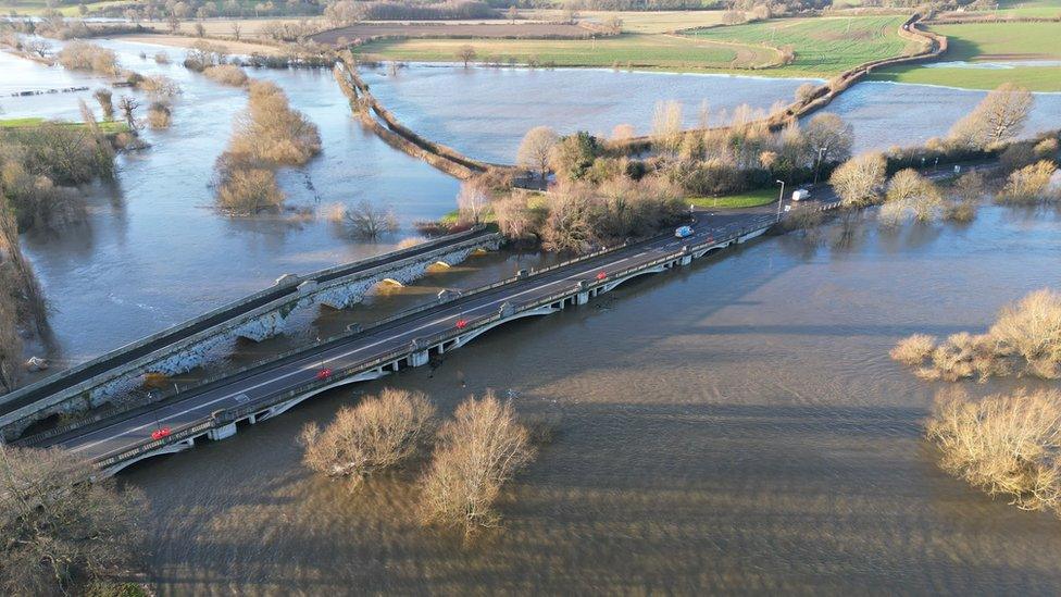
Aerial footage by Ross Jones of SY View
Levels at Montford Bridge, north of Shrewsbury, peaked at 6.55m late on Friday afternoon, he said.
In Ironbridge, water levels were about 18ft 9in (5.76m) earlier on Saturday and he said he was "hopeful" a possible peak of about 19ft (5.9m) might bring some relief to residents in the town.
Although these levels are about a metre lower than some of the worst flooding the area had seen in recent years, homes and businesses were now seeing higher levels of flooding, more frequently, Telford and Wrekin councillor Carolyn Healy said.
Most businesses close to the bridge were open, as they were "well above" the flooding, however some lower lying businesses on the The Wharfage and The Boat Inn at Jackfield have had water coming in, she said.
"People do want people to come down to Ironbridge and support those businesses and attractions," she said.
In Bridgnorth, where no defences are in place, levels were at about 15ft (4.7m).
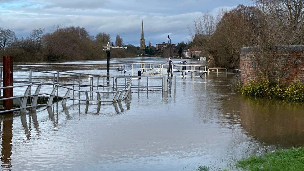
Flood water spread near Diglis Basin in Worcester on Saturday
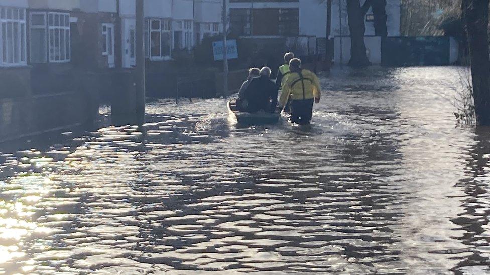
Some residents in Hereford were rescued from their homes by boat on Friday
Roy Stokes, from the Environment Agency's West Midlands flood team, told BBC Hereford & Worcester: "All rivers [are] full, all flood plains full and [there's] more rain to come.
"So things are probably going to get a little bit worse before they get better."
The latest guidance from the EA, external shows some areas in Worcestershire will not see a peak until Monday.
However, a peak is expected in Bewdley on Saturday evening, but further rain may extend that, and levels on the Severn in Worcester and Kempsey are due to peak on Sunday morning.
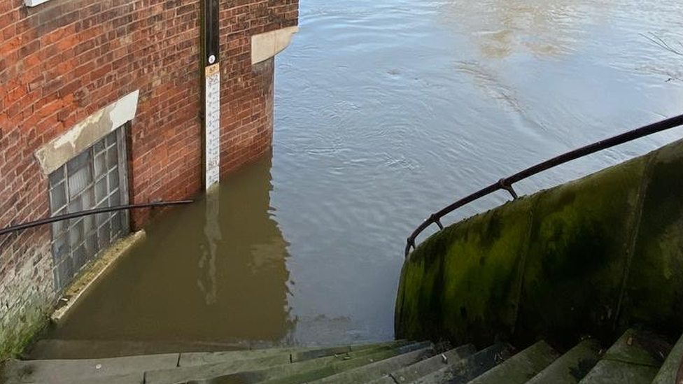
Flood water rose up the steps of this bridge in Shrewsbury
Bewdley Bridge has been closed and John Fraser, head of Highways in Worcestershire urged caution for drivers as colder weather comes in.
"It's going to go sub-zero," said Mr Fraser.
"The gritters are going to be out at some point and we might even get a touch of sleet or snow as well on Sunday, so with a lot of wet roads about, a lot of water about, there could well be some tricky driving conditions."
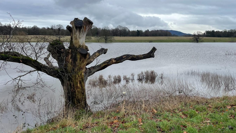
Attingham Park was also flooded on Saturday
In Hereford, properties were flooded on Greyfriars Avenue on Friday and seven flood warnings remain in place in the county on Saturday.
Although the River Wye reached its peak on Friday, levels were rising again on Saturday and the EA estimated they could reach 18ft (5.5m) overnight.
The highest it reached was in 2020 when the the river was at 20ft (6.1m).
Mr Stokes added it was always difficult making comparisons because forecasts were based on "what we think the rainfall will be and then the rain that actually comes, that's what changes things".
"It's looking like it will be something around sort of what we had two years ago," he said.
In January 2021, residents of Greyfriars Avenue had to be rescued by boat after the road was flooded.

Follow BBC West Midlands on Facebook, external, Twitter, external and Instagram, external. Send your story ideas to: newsonline.westmidlands@bbc.co.uk
Related topics
- Published13 January 2023
- Published13 January 2023
- Published13 January 2023