Worcester air quality plan hit by further delays
- Published

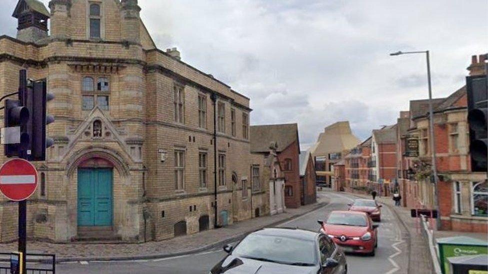
The Butts was recently recorded as Worcester's most contaminated street
Plans to tackle air pollution in Worcester will not be published for at least another year.
The whole city was declared an air quality management area (AQMA) in 2019 and measures to address pollution levels were expected to be published "as soon as possible".
However, the council said meaningful traffic surveys were only completed after the Covid pandemic.
The local authority has since asked for the deadline to be extended.
Blaming an "administrative oversight", it said the action plan would not be in place until December 2024.
The Department for Environment Food and Rural Affairs (Defra) wrote to Worcestershire Regulatory Services (WRS) in May saying the action plan needed to be published - but the city council only discovered that in September.
The council said it was not made aware of the first warning in May, but received a second warning four months later.
Defra said that the failure to publish the action plan by January 2024 could have resulted in the government stepping in to take action.
The local authority said work on the action plan had been "significantly delayed" during the pandemic and that meaningful traffic surveys were not completed until April 2022 after more people returned to offices.

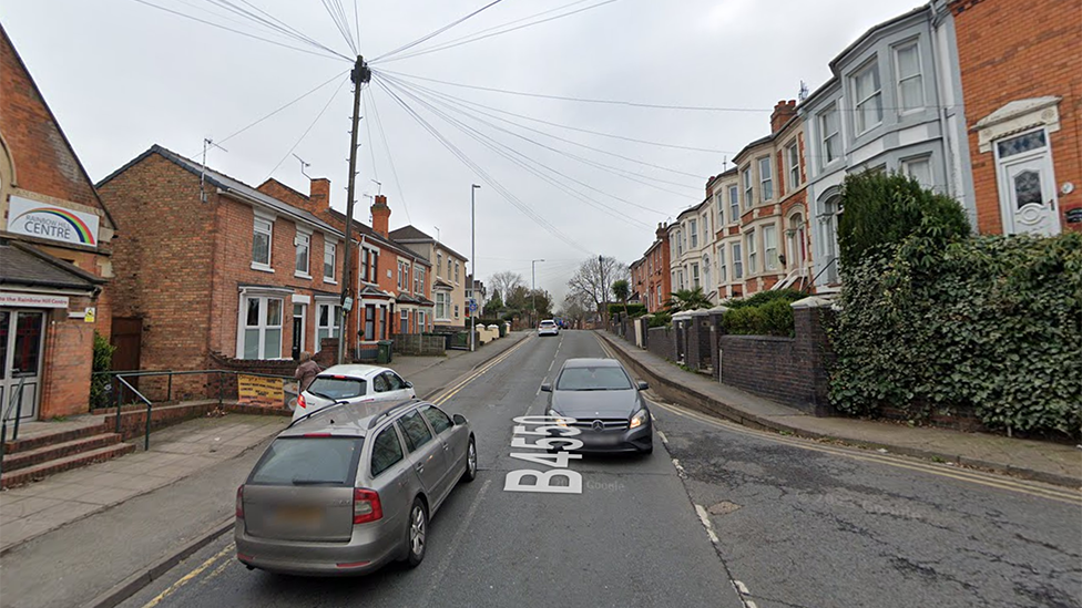
Pollution levels on Astwood Road / Rainbow Hill also exceeded legal limits
Legislation changes also mean the city council needs to work with the county council to draw up policies on combating pollution.
In September, it was revealed that two city streets were exceeding the legal limit for harmful pollution.
The Butts, which regularly features regularly long queues and congestion, topped the list.
A report said sensors there registered an average of 43.9 micrograms per cubic metre of pollution in the air in 2022 - higher than the legal limit of 40.
Another sensor placed at the junction of Astwood Road and Rainbow Hill recorded 41.5 micrograms per cubic metre.
The other locations to make the list of Worcester's 10 worst affected areas included two in The Tything, Upper Tything, Bridge Street, Foregate Street, George Street, Lowesmoor and All Saint's Road.

Follow BBC West Midlands on Facebook, external, X, external and Instagram, external. Send your story ideas to: newsonline.westmidlands@bbc.co.uk, external