Yorkshire: Thousands more homes to get flood warnings
- Published

Millions of homes across England are at risk of flooding, the Environment Agency said
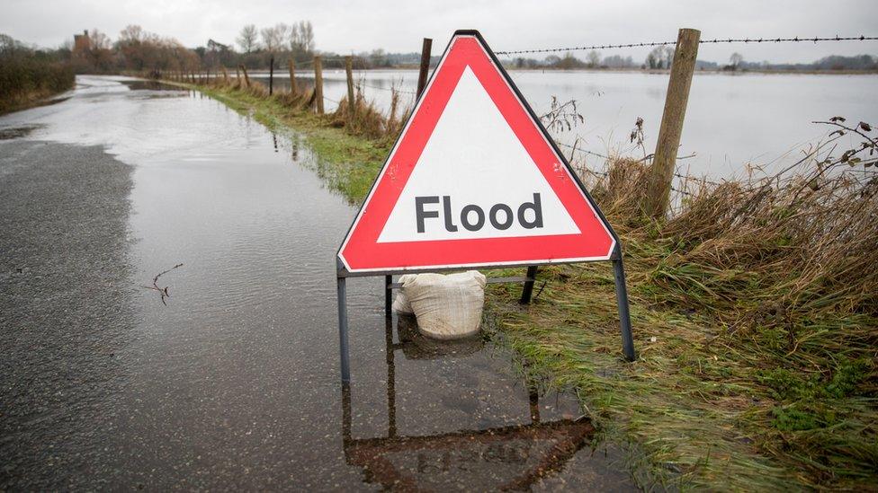
Thousands of homes at risk of flooding across Yorkshire are to be added to a warning system used when river levels rise.
The Environment Agency (EA) said more people will be told when flooding is possible after it expanded warning areas.
Currently, 5.2 million properties in England are at risk with those living nearby able to sign up to flood alerts.
More rain is expected in future because of climate change, the EA said.
The new warnings cover 2,311 properties in East Yorkshire, 983 in South Yorkshire, and 474 in North Yorkshire, it said.
The areas have been added as a result of modelling and new data, with 59% more rainfall expected by 2050, according to the EA.
Notifications of flooding risks can be accessed on the EA website with a text and email service being available.
Graham Lindsey, from the Environment Agency, said the notification service can help people take appropriate action when flooding is forecast.
Areas in East Yorkshire include:
Bielby Beck at Bielby
Western Drain at Northfield and Low Field in Hessle
Ings Beck at North Newbald
River Foulness at Welham Bridge
Areas in South Yorkshire include:
Knoll Beck at Manvers
River Dearne at Little Houghton
Meers Brook at Heeley
River Little Don at Stocksbridge
Areas in North Yorkshire include:
River Skirfare at Hawkswick
Cononley Beck at Cononley
River Ouse at Beningbrough and Red House
River Derwent at Braisthwaites Wood
River Rye and Borough Beck at Helmsley
River Rye at Howe Bridge
River Derwent at East and West Ayton
River Wharfe at Cawood Park

Follow BBC East Yorkshire and Lincolnshire on Facebook, external, Twitter, external, and Instagram, external. Send your story ideas to yorkslincs.news@bbc.co.uk, external.