Lancashire flooding: St Michaels homes evacuated amid severe flood warning
- Published

A severe flood warning has been issued for St Michaels in Lancashire amid concerns about the water levels in the River Wyre
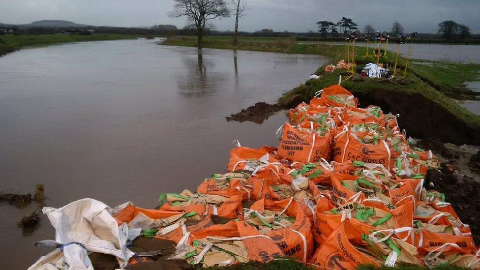
Dozens of people have been evacuated from a village in Lancashire as rising river levels heaped pressure on temporary flood defences.
Residents from about 20 homes in St Michaels have been moved to a nearby YMCA centre after the Environment Agency issued a severe flood warning.
Water levels in the River Wyre peaked at about 09.30 GMT after heavy rainfall over night.
Emergency services were working to bolster flood defences in the area.

The Environment Agency said staff were working alongside firefighters and police to lay extra sandbags and supervise flood basins further up the river.
There were concerns that an embankment between the river and nearby houses could have breached, but by 11:45 the water levels had begun to fall.

Villagers react to being evacuated due to rising river levels
At the scene: Paul O'Gorman, BBC Radio Lancashire
The alarm was raised at 04:00 GMT, when residents were contacted by telephone and by police, who toured the village knocking on doors.
A handful of people have gone to the YMCA centre in Garstang, while others have found shelter with family and friends.
Work is continuing to try to strengthen and repair flood defences, with both the police and firefighters joining forces with the Environment Agency.
Meanwhile, the village pub has become a meeting centre for residents and workers alike.

However, the Environment Agency urged people to stay away from properties close to the river while the flood warning remained in place.
A spokesman said: "We believe there will be more flooding and we are advising families to take heed of our severe flood warning and take action."
People across Lancashire have battled through five days of disruption due to heavy rainfall, which began on Saturday.
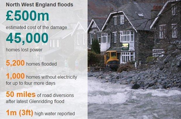
More than 50,000 homes in and around Lancaster faced several power cuts after an electricity substation was hit by a metre of water at the weekend.
Live flood warnings from the Environment Agency and the Scottish Environment Protection Agency.
Tap here, external for the interactive flood map.

Note: the Environment Agency and the Scottish Environment Protection Agency display their flood alert data differently. While the Environment Agency highlights individual rivers only, in Scotland the entire region is coloured to indicate the level of alert.
This map and flood alert data are supplied to the BBC by third parties. The BBC is not responsible for its accuracy and you use it at your own risk.

- Published7 December 2015

- Published6 December 2015

