Yorkshire 'supercell' storm covers region in hail
- Published
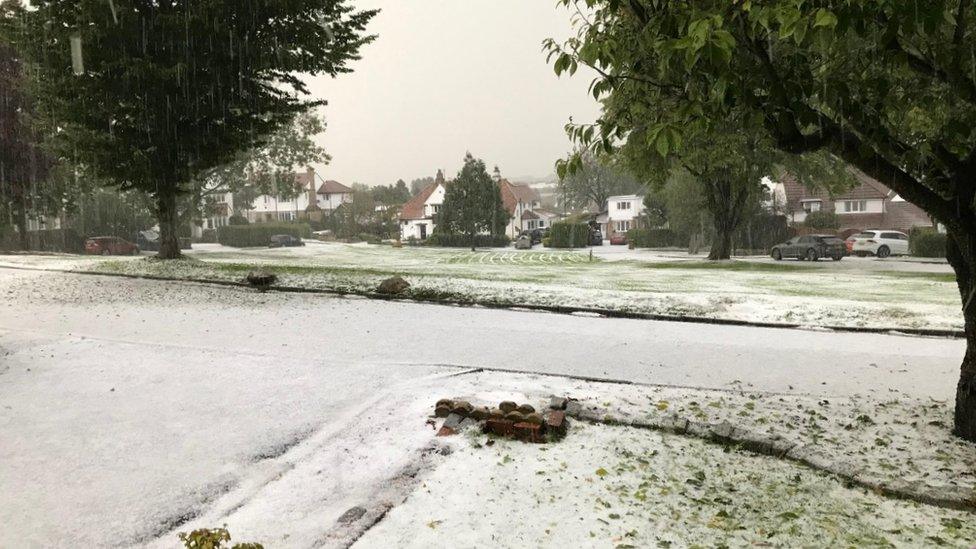
Hail covered the ground in parts of the region as the severe storm took hold
A "supercell" storm of heavy showers, hail and thunder left parts of Yorkshire under a thick blanket of hailstones on Thursday evening.
The storms, which began at about 16:00 BST, battered much of the region with lightning continuing for several hours.
Hail was reportedly up to 2.5cm (1in) in diameter in places, making conditions difficult for drivers.
A supercell is a severe variety of thunderstorm caused by a change in wind speed and direction.
More stories from around Yorkshire
BBC Weather forecaster Billy Payne said: "We don't see supercells all too often in the UK - they are more commonly seen in the United States Great Plains where they can produce powerful tornadoes and large hail at times."
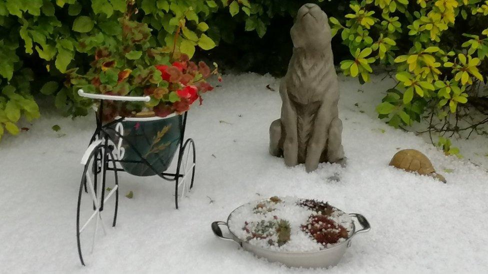
People living in Baildon, Guiseley, Otley and Menston, shared images on social media of the flash storms leaving them in several centimetres of hail.

Particularly hard-hit by the hail were Guiseley, Baildon and Otley

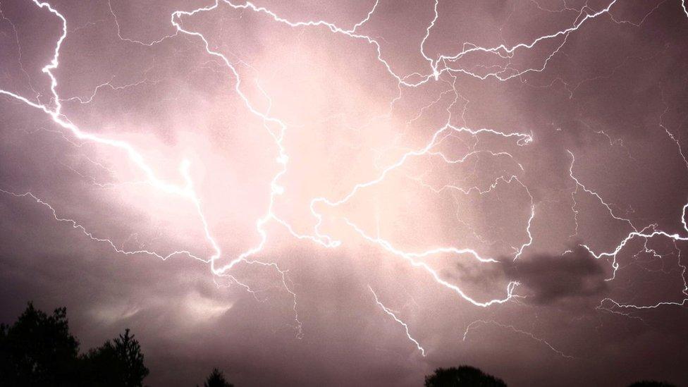
Bolts of lightning were captured in Bridlington and along the coast of East Yorkshire
Fork lightning was also captured in Leeds, Knaresborough, and in Bridlington and along the east coast of Yorkshire.
BBC Look North presenter Charlotte Leeming, who lives near Leeds, said she had never experienced a storm like it, as "the house shook with thunder and the roads were carpets of white".
Lesley Potter, who lives in Baildon near Bradford, said: "It was horrendous and I have never experienced a hailstorm as bad, coinciding with thunder and lightning".
Mr Payne added the UK had seen a "real transition" into autumn over the past few days, with Atlantic low pressure systems sweeping away the warm temperatures from the start of the week.
"The last 24 hours in particular we've seen an area of low pressure tracking to the south of climatology over the southern half of the UK, bringing something much more unsettled and locally disruptive," he said.

Hail blanketed gardens in Otley

Lightning storms carried on for several hours

Follow BBC Yorkshire on Facebook, external, Twitter, external and Instagram, external. Send your story ideas to yorkslincs.news@bbc.co.uk or send video here.
- Published12 October 2018

- Published11 October 2017
