Interactive Leicestershire footpath map launched for ramblers
- Published

The council has created a map of the county's walks
An interactive map has been launched to encourage walkers to explore Leicestershire.
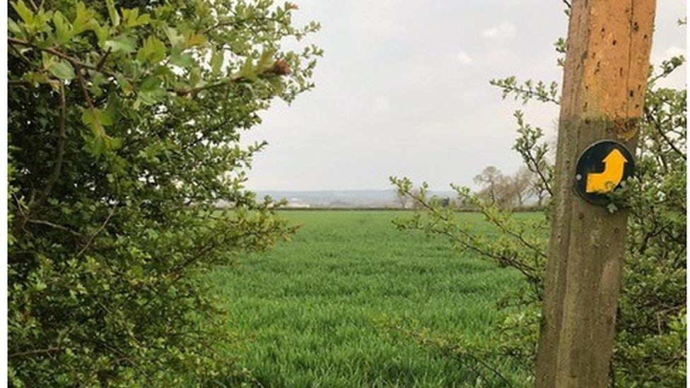
The county council has created a map of the county's 1,800 miles (2,896km) of public footpaths, external.
The authority said the map would allow people to use rights of way across the county, as well as highlighting more than 150 specific walks.
The council added it hoped the map would also help people improve their health.

The council said the map would make it easy to plan days out
Ozzy O'Shea, cabinet member for highways and transport, said: "We're encouraging everyone to try out our great network of public footpaths, to help people improve their health and helping us reach our net zero targets too.
"Our interactive map makes it really easy to plan journeys out and help people make the most of our amazing countryside."

The map also directs people to places of interest
The map allows users to filter by routes distance and elements of interest, such as historical locations or family-friendly walks that pass play areas.
The walks can also be seen by their difficulty so people of all abilities can decide which they can attempt.

Follow BBC East Midlands on Facebook, external, on Twitter, external, or on Instagram, external. Send your story ideas to eastmidsnews@bbc.co.uk, external.