Wainfleet flood: Defences 'not up to modern standards'
- Published
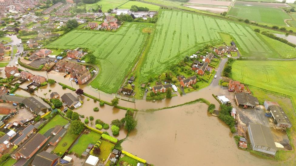
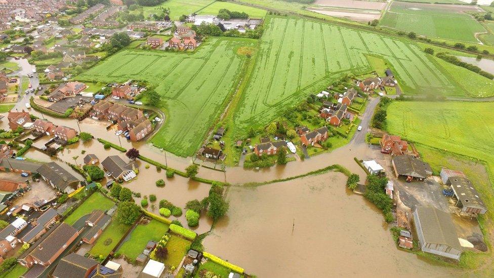
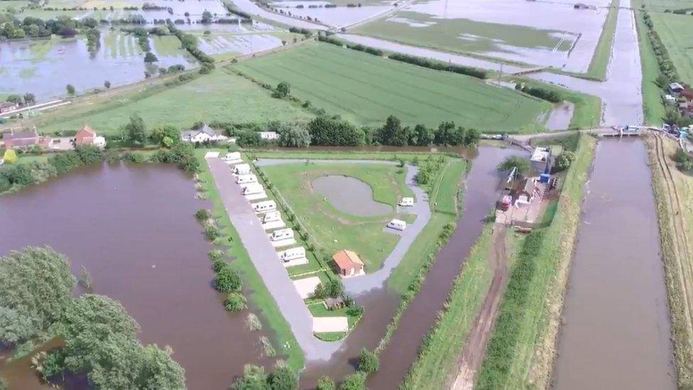
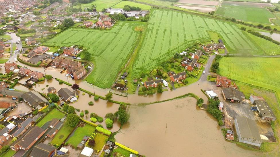
The River Steeping burst its banks after about two months' worth of rain fell in two days
A report into flooding in a Lincolnshire town has found river defences in the area were not constructed to modern standards.
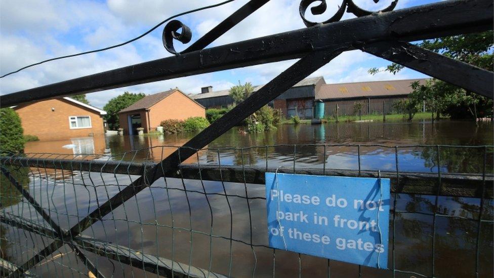
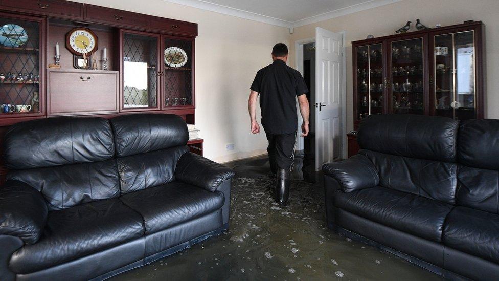
Nearly 600 homes in and around Wainfleet were evacuated after heavy rains caused the River Steeping to burst its banks last June.
The report also found grazing cattle may have made river defences more susceptible to breaching.
The town, close to Skegness, saw two months' worth of rain fall in two days.
An independent inquiry into the flooding was carried out by Norfolk County Council.
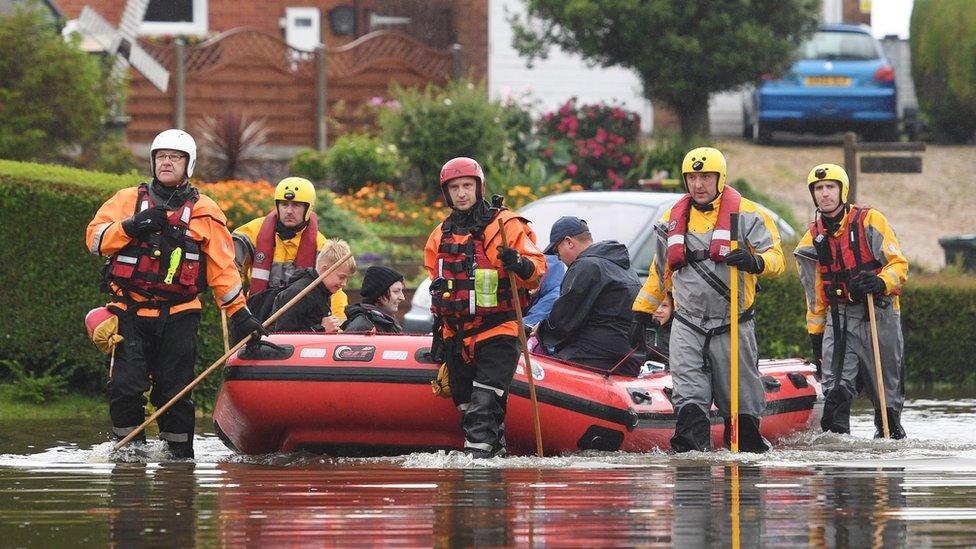
Residents were evacuated by boat
It found the main cause of the breach was "significant rainfall" which led to the overtopping and erosion of the relief channel bank.
The report said the embankments alongside the channel were built after flooding in 1968 and were constructed using the excavated soil.
"They do not afford the protection of a newly-constructed flood defence," it added.
However, it said the amount of vegetation, silt levels and grazing cattle were all factors.
"Areas of riverbank had been grazed by cattle which had caused some damage that was still evident on a site visit after the flood event (sheer banks in vicinity of breach)," the report said.
"This may have weakened the bank, caused erosion and made it more susceptible to breaching."

A Chinook helicopter was used to help plug the breach in the river
Colin Davie, executive member for the Environment at Lincolnshire County Council, said: "I do hope this report will go some way to answering some of the questions on why homes were flooded in this unprecedented event.
"I also hope it gives residents reassurance that we will... do our very best to reduce the risk of this happening again."
"This was some of the worst flooding we've ever seen in the county - an absolutely awful experience for the community," he added.
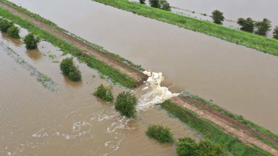
The report said the design of the banks, amount of vegetation, silt levels and grazing cattle were all factors which led to the breach
A number of recommendations were made, including replacing the flood embankments and controlling access to riverbanks by cattle.
The report also recommended managing the impact of burrowing animals.

Follow BBC East Yorkshire and Lincolnshire on Facebook, external, Twitter, external, and Instagram, external. Send your story ideas to yorkslincs.news@bbc.co.uk, external.
- Published25 June 2019
- Published24 June 2019
- Published21 June 2019
- Published20 June 2019
- Published19 June 2019

- Published18 June 2019
- Published15 June 2019
- Published16 June 2019
- Published14 June 2019
