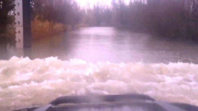
Striking photos show cars driving through Norfolk floodwater
- Published
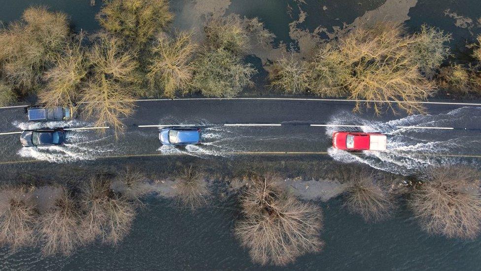
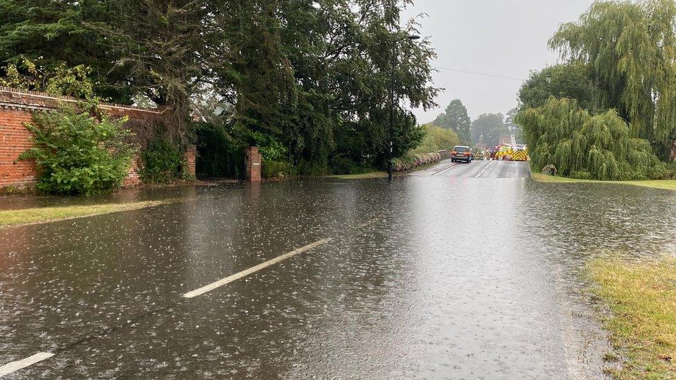
Water can be seen cascading off the side of the road as drivers negotiate the flood
Aerial photographs show drivers negotiating a flooded road after heavy rainfall affected parts of The Fens.
A flood alert is in place along the A1101 on the Cambridgeshire/Norfolk border after river levels rose in the Great Ouse at Welney Causeway.
Cars could be seen driving through the floodwater on Sunday.
The Environment Agency's latest reading showed the water level was above the "top of the normal range" with about 7cm (2.7in) of water on the road.
The agency's website, external showed the water level had risen from about 2.07m (6.8ft) on Thursday, to a high of 2.49m (8ft) at 12:45 GMT on Monday.
A level of 2.40m (7.8ft) is considered to be the "top of the normal range", however, the highest level on record at the measuring station was 4.13m (13.5ft), recorded on 7 January 2003.
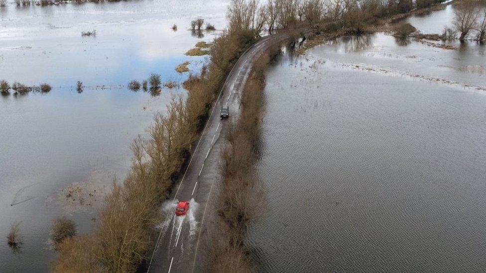
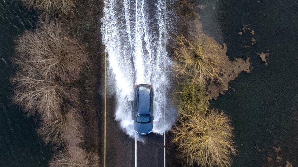
The Environment Agency said water could appear much deeper in places because of the uneven road surface
Issuing the flood alert, external, the Environment Agency said: "No further rainfall is forecast.
"We expect river levels to remain high throughout today, Monday.
"The causeway at Welney has approximately 7cm of water on the road. Due to uneven surface of the roads, water may be deeper in places."
A further flood alert is in place for Hundred Foot Washes, external (also known as the Ouse Washes) in Cambridgeshire and Norfolk.
The causeway at Sutton Gault, in Cambridgeshire, also has approximately 7cm of water on the road, the agency said.

Find BBC News: East of England on Facebook, external, Instagram, external and Twitter, external. If you have a story suggestion email eastofenglandnews@bbc.co.uk, external
Related topics
- Published15 February 2022
- Published30 January 2022

- Published1 December 2012
