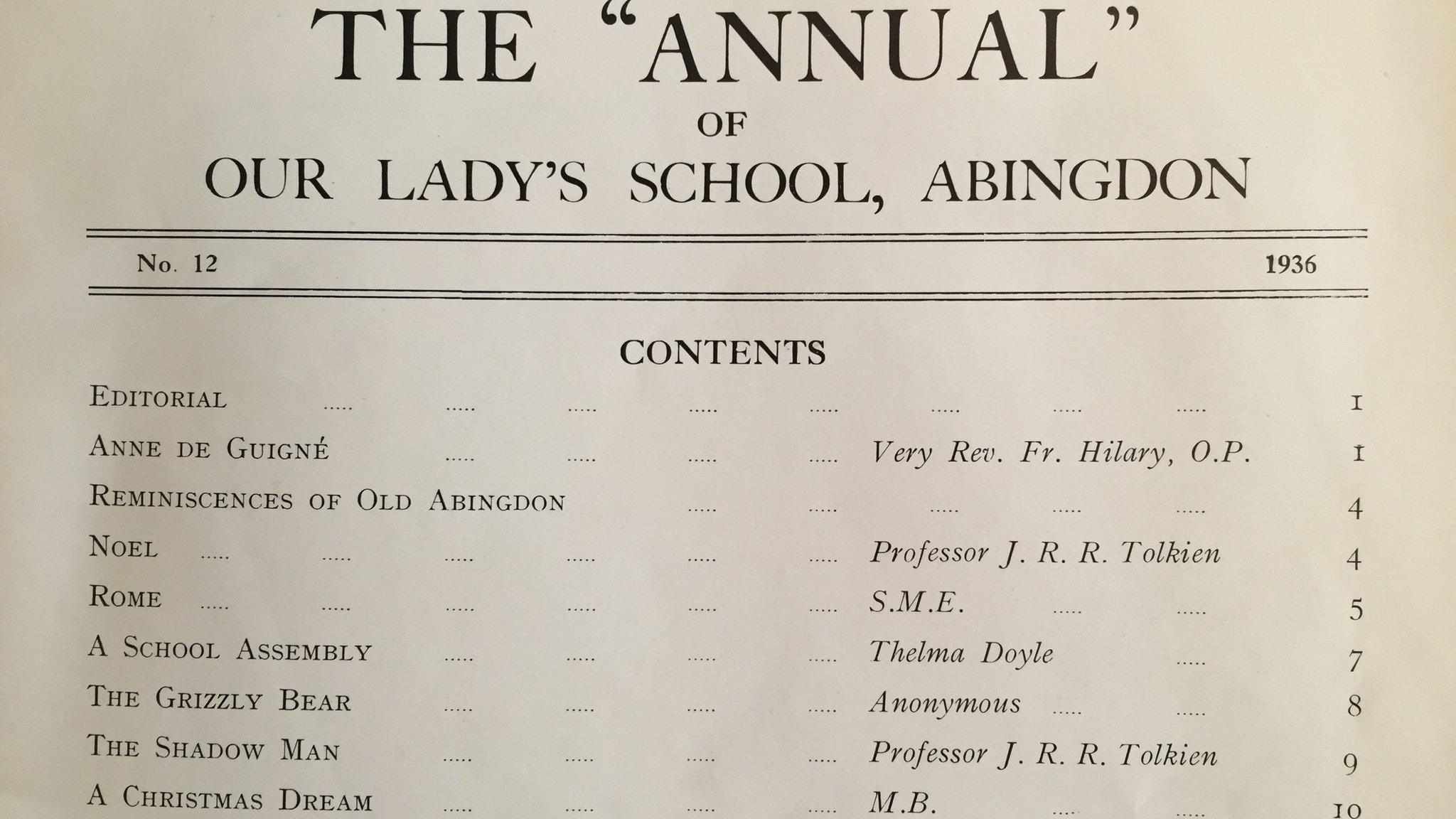
JRR Tolkien's annotated Middle-earth map at Bodleian
- Published
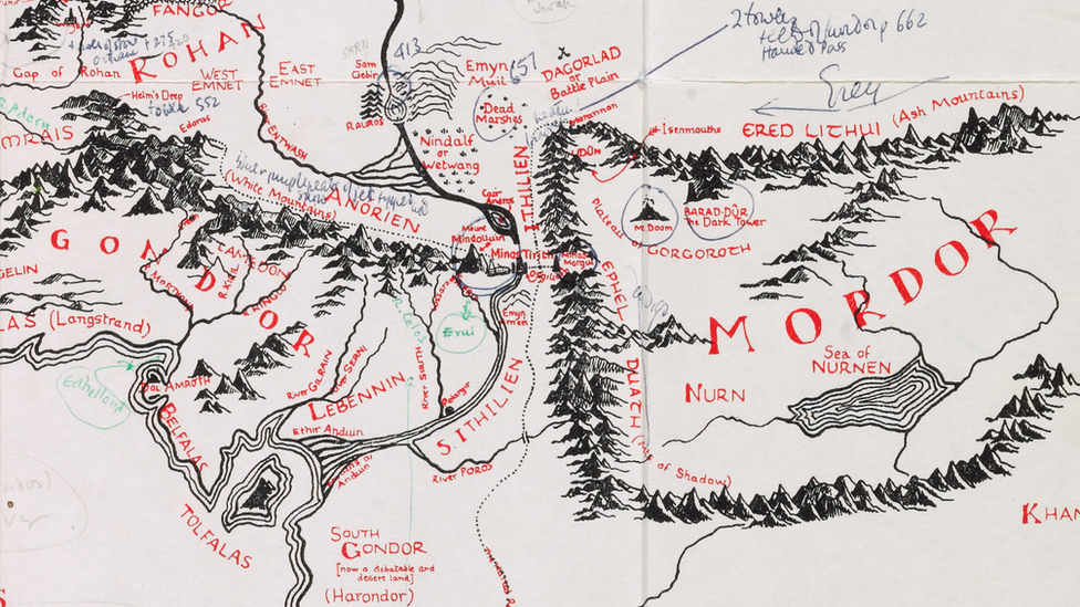
An map of Middle-earth that was annotated by Lord of the Rings author JRR Tolkien has been bought by Oxford's Bodleian Libraries
A map of the fictional Middle-earth that was annotated by Lord of the Rings author JRR Tolkien has been bought by Oxford's Bodleian Library.
It was previously owned by illustrator Pauline Baynes, who produced the first illustrative map for Tolkien's trilogy.
It was unseen for decades until last October, when a book shop put it on display for an asking price of £60,000.
On the map, Tolkien adds place names in Elvish, one of the languages he created for the books.
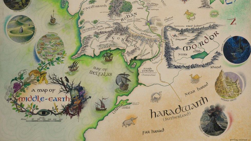
Tolkien's annotations were used by illustrator Pauline Baynes to produce the first map of the magical world in 1969
Ms Baynes was introduced to Tolkien when she first submitted illustrations for his Middle-earth epic in 1949.
Tolkien went on to introduce her to fellow author CS Lewis, for whose Narnia books she also went on to produce illustrations.
The map, which was bought by the Bodleian Libraries for about the asking price, will become part of its Tolkien archive and could be exhibited to the public.
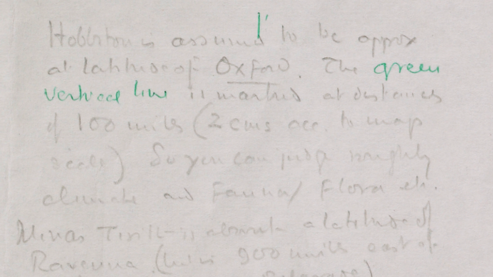
The Lord of the Rings author annotated the map drawn by his son Christopher for the 1954 edition of the book. He wrote that the placement of Hobbiton in the Shire should be "approximately at the latitude of Oxford"
On the annotated map, Tolkien instructs Ms Baynes on the placement of important towns and cities like Hobbiton, the home of the trilogy's hero Frodo Baggins.
In one annotation he writes Hobbiton should be "approximately at the latitude of Oxford", where the author lived.
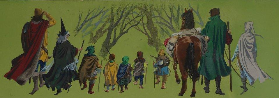
The 1969 map - developed from Tolkien's annotations - depicted the Fellowship of the Ring and included illustrations of Argonath and the Teeth of Mordor
The Bodleian Libraries' keeper of special collections Chris Fletcher, said: "We're delighted to have been able to acquire this map and it's particularly appropriate that we are keeping it in Oxford.
"Tolkien spent almost the whole of his adult life in the city and was clearly thinking about its geographical significance as he composed elements of the map."

Tolkien lived most of his adult life in Oxford, where he befriended fellow author and resident CS Lewis, creator of the Narnia series
The map was originally drawn by Tolkien's son Christopher for the 1954 edition of the book.
- Published16 February 2016
