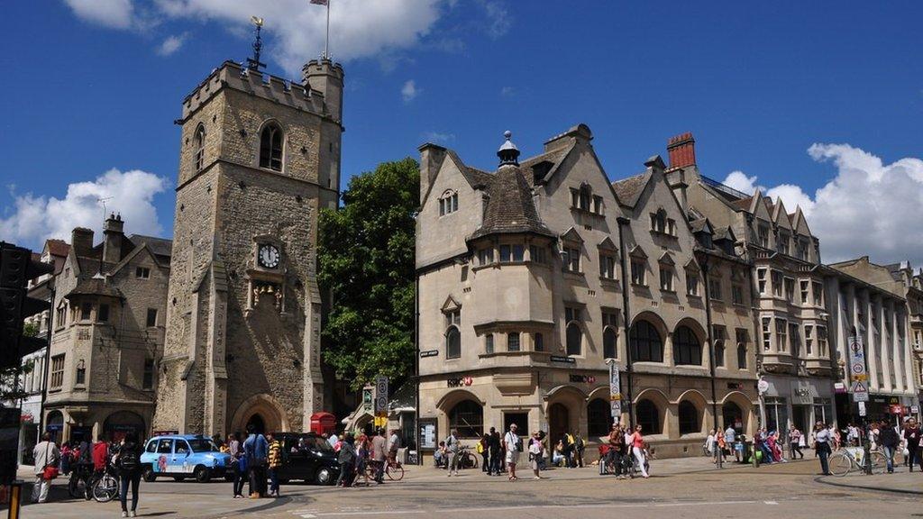
Oxford Low Traffic Neighbourhoods: Map 'glitch' shows dozens of roads closed
- Published
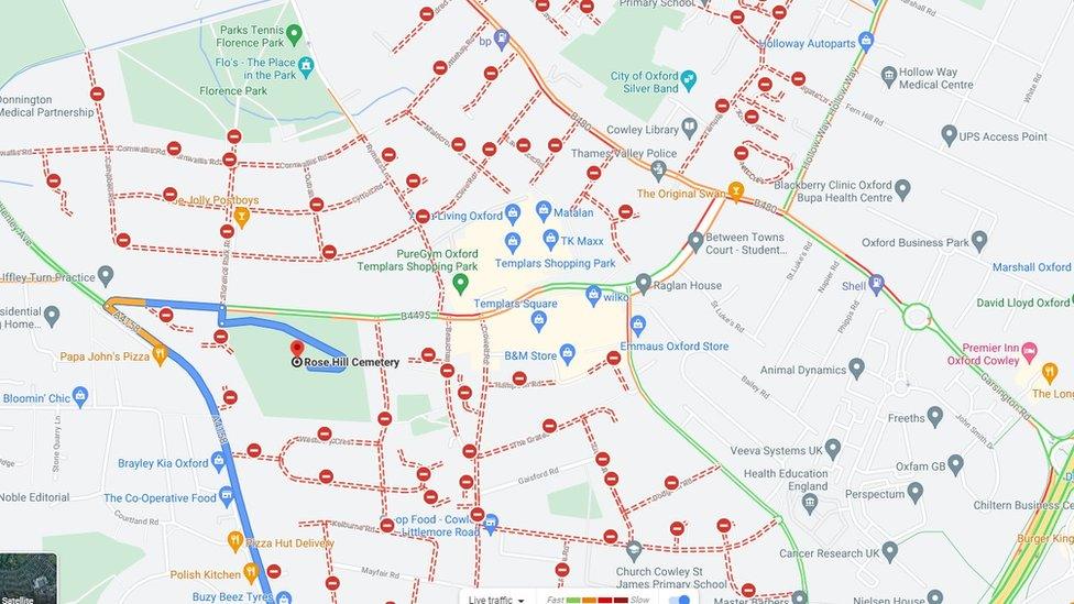
The county council says the maps showing "so many" roads closed is an error
A technical glitch has seen dozens of roads in Oxford incorrectly appear closed on satellite navigation devices.
According to platforms such as Google Maps and TomTom, barely any routes appear open through the east of the city.
Oxfordshire County Council said it happened after it submitted data on new Low Traffic Neighbourhoods (LTNs) to a Google "network management system".
It said work was under way to resolve the issue "as soon as possible".
Some road blocks and bollards are in place in Church Cowley, Florence Park and Temple Cowley as part of the council's LTN scheme.
It is part of an attempt by the authority to create quieter, safer neighbourhoods.
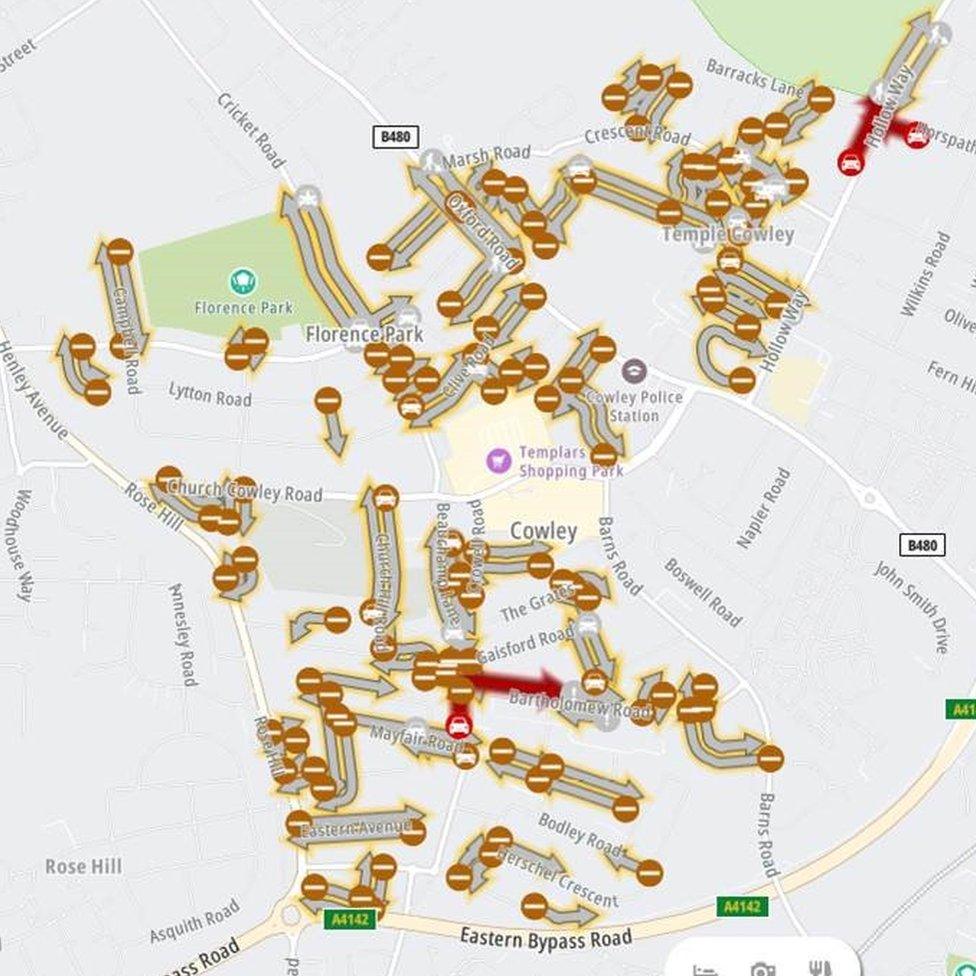
TomTom also lists dozens of East Oxford roads as closed
But the maps list many more residential streets in the area as closed, with a message on Google Maps stating they will be shut until March 2022.
A council spokesman said: "The council's network coordination team submitted some data into its network management system which Google Maps uses to list the road blocks and bollards in the Cowley and Florence Park areas that make up the low traffic neighbourhoods.
"However, it appears a glitch has emerged with how the data has presented itself on screen.
"Only a small number of roads in the area have the LTN road blocks involved and the current view showing so many closed is an error."
Tim Bearder, cabinet member for highway management, told the BBC: "The team submitted the data and it seems to have gone wrong.
"The mapping system seems to have closed Cowley, which isn't the case, it's all open as normal."
The BBC has asked Google for comment.
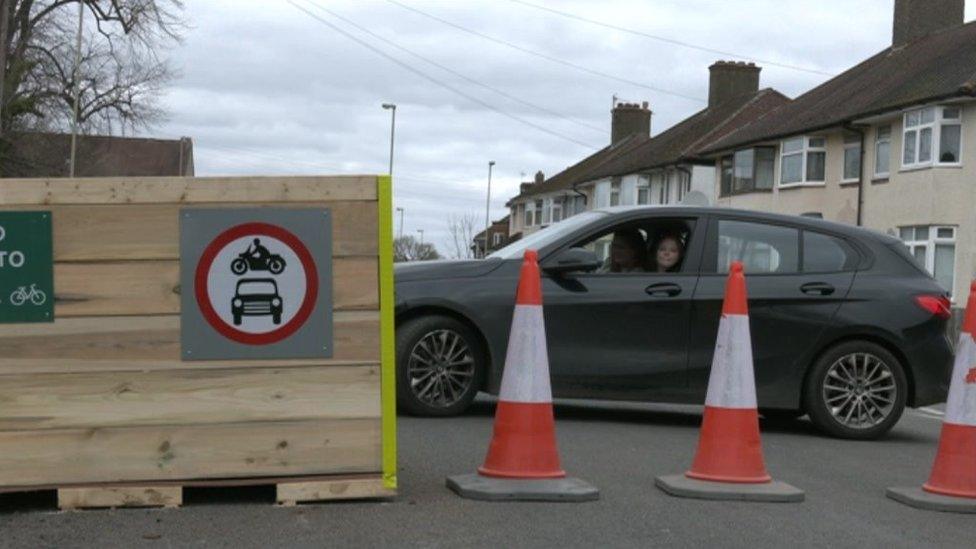
The idea behind the council's LTNs is to create quieter, safer neighbourhoods

Follow BBC South on Facebook, external, Twitter, external, or Instagram, external. Send your story ideas to south.newsonline@bbc.co.uk, external.
Related topics
- Published18 May 2021
- Published7 May 2021
- Published31 March 2021
- Published27 March 2021
- Published16 March 2021
