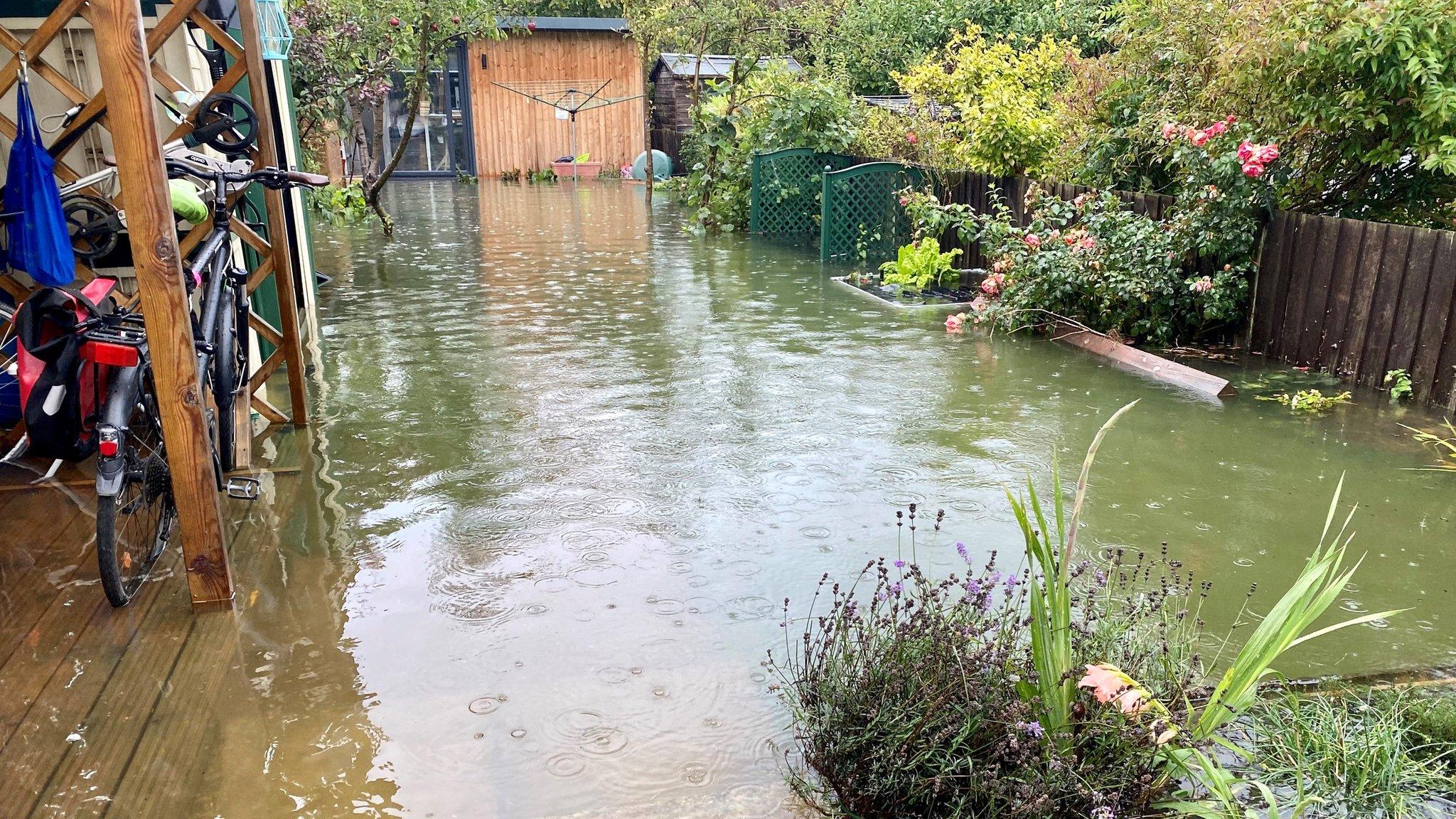
Oxford flood defence scheme plans submitted
- Published
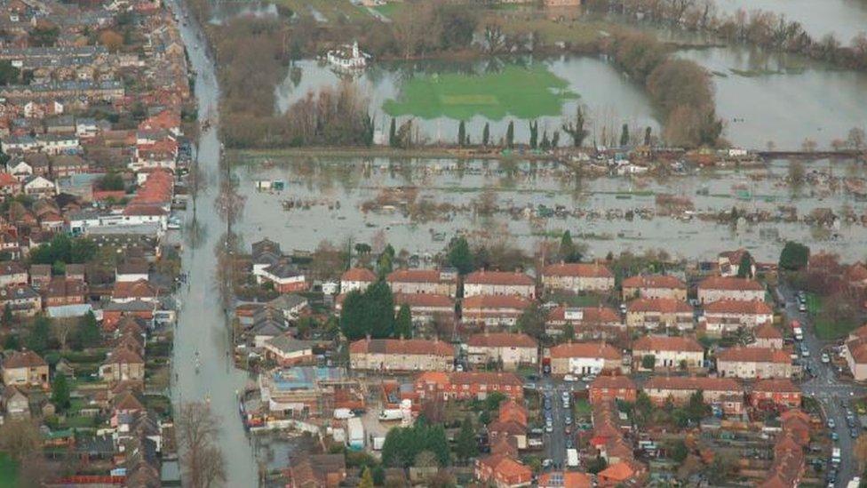
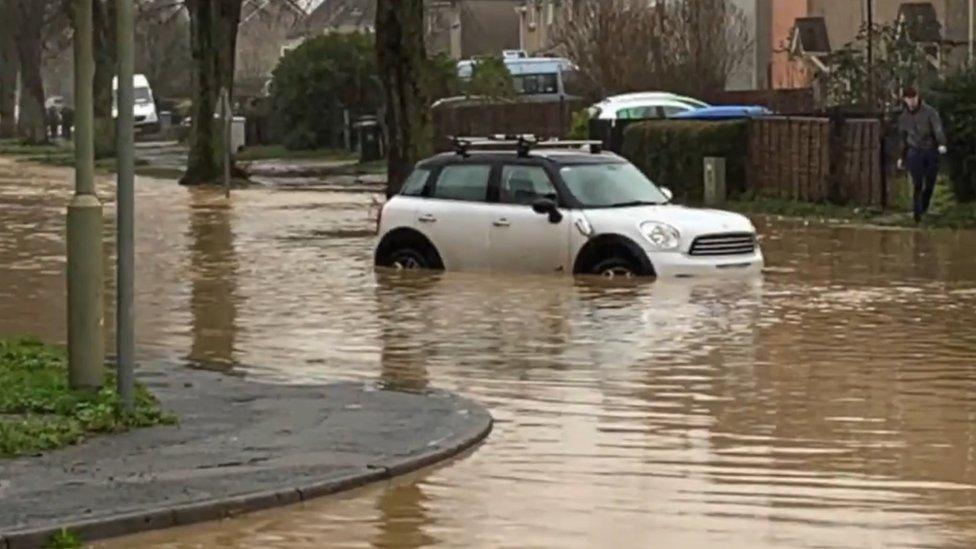
Roads were closed and homes and livelihoods were affected during flooding in Oxford in 2014
Plans for one of the biggest flood defence projects in the country have been submitted at a cost of £150m.
If approved, a 5km (3.1mile) long channel will be created in a bid to reduce the risk to homes and businesses in Oxford, where there is a long history of flooding.
The Environment Agency said it would provide better flood protection but campaigners argue the scheme is fundamentally flawed.
A public consultation runs until 9 May.
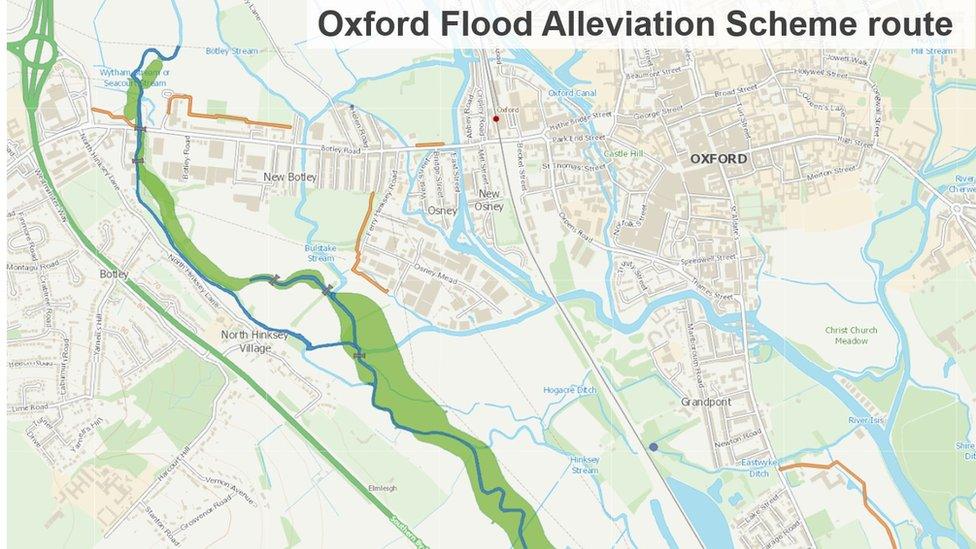
The 5km-long channel would divert flood water away from homes and businesses
The Environment Agency said the the new stream, which will be created in a floodplain, will fill when water levels in the River Thames are high, "reducing flood risk to built-up areas of the city".
Plans submitted to Oxfordshire County Council show the route for the flood alleviation scheme beginning north of Botley Road and ending near Kennington, but critics believe it will not hold enough water.
'Climate emergency'
The Oxford Flood and Environment Group said it does not take new data on climate change and biodiversity into consideration.
In 2021, group member Patricia Murphy said: "We are in a climate emergency. There are lots of very interesting developments looking at flood alleviation in a holistic way. We want a scheme that is future proof."
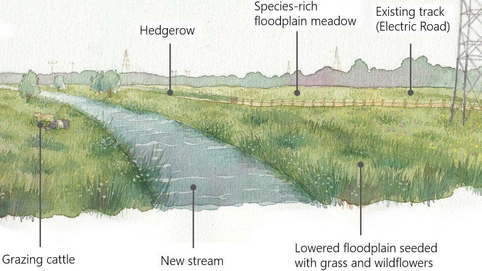
Impression of flood defence scheme submitted by Environment Agency
In response the Environment Agency said: "We have considered more than 100 combinations of options to reduce flood risk from the River Thames in Oxford, working with the community every step of the way.
"The current proposals give better flood protection to all the homes and businesses currently at risk of the River Thames flooding while also delivering a true green legacy for the city."
Parts of Oxford were affected by heavy flooding in 2007, 2012, 2013 and 2014.

Follow BBC South on Facebook, external, Twitter, external, or Instagram, external. Send your story ideas to south.newsonline@bbc.co.uk, external.
Related topics
- Published23 December 2020
- Published4 October 2020
