Flood scheme proposals unveiled for Somerset Levels
- Published

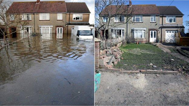
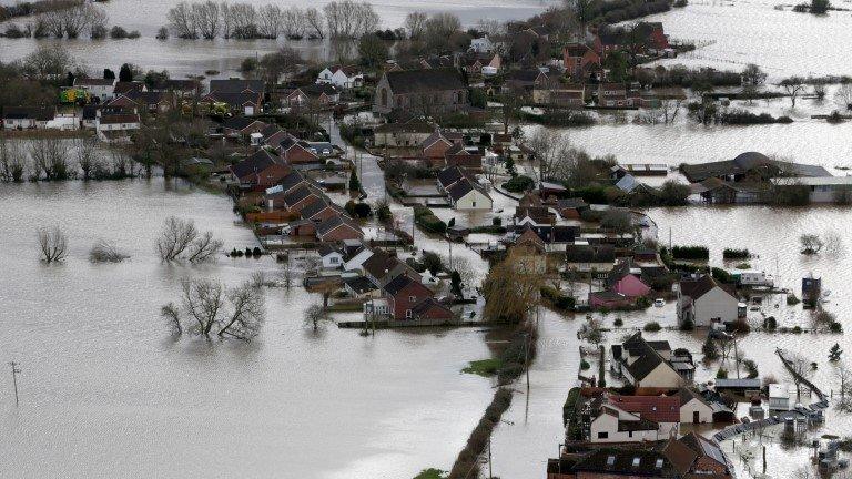
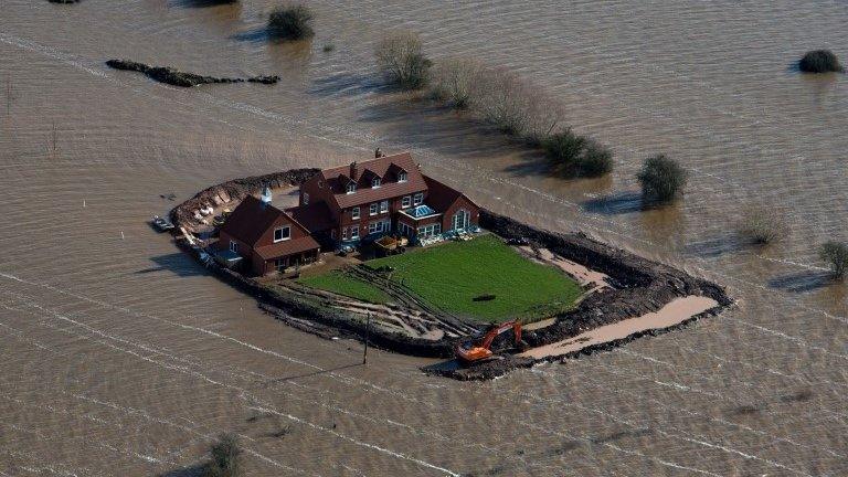
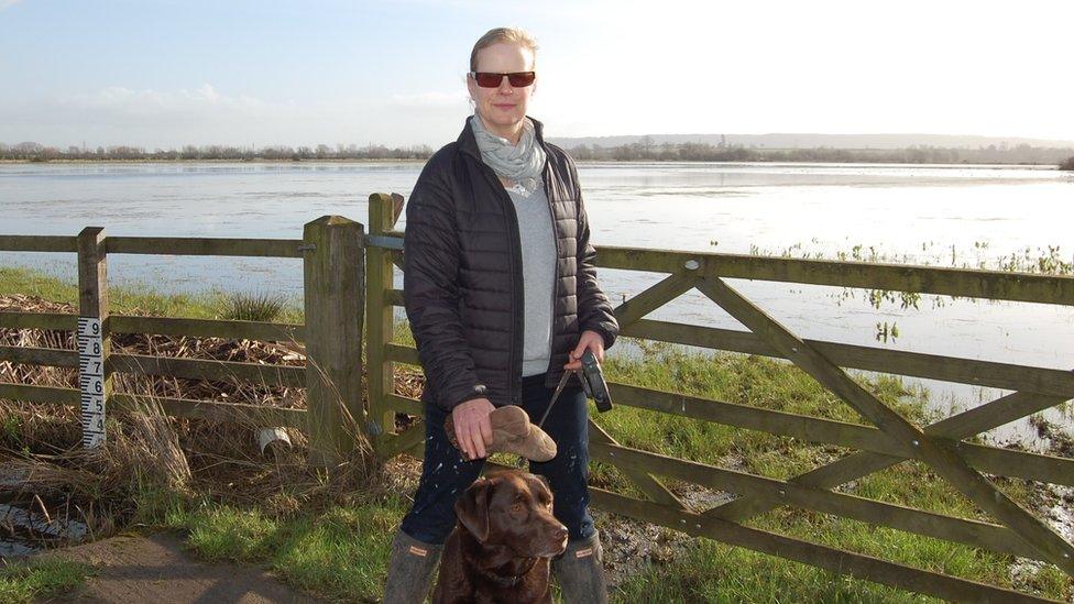
Flood water surrounded properties in the village of Moorland on the Somerset Levels earlier in the year
More than £20m of proposals to reduce flooding on the Somerset Levels have been unveiled by the local authority.
One scheme would see a road raised near Muchelney to prevent the village being cut off by flood water again.
And £4m could be spent on increasing the capacity of the River Sowy, with a further £12m spent on improving key roads in the area such as the A361.
Somerset County Council said some of the "high priority" schemes could be completed before the end of the year.
Council leader John Osman said: "We are confident these schemes will significantly reduce the risk of flooding in homes, communities being cut off and main roads shut for weeks on end."
Mr Osman said the authority was determined to "reduce the frequency, depth and duration of potential flooding".
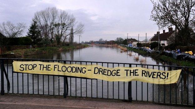
The proposals follow the government's Somerset Levels and Moors Flood Action Plan, external, which was set up in February following weeks of severe flooding in the region.
The £100m plan outlines measures including dredging, a tidal barrage and extra permanent pumping sites.
- Published19 March 2014
- Published6 March 2014
- Published5 March 2014
- Published5 March 2014
- Published5 March 2014
- Published20 February 2014