Yorkshire Ambulance Service trials new navigation technology
- Published

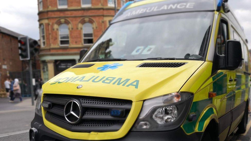
The maps are updated regularly with new roads and developments
A new navigation system is being trialled by Yorkshire Ambulance Service in a bid to reach patients faster.
The maps are updated every week with new roads, buildings and housing estates to help paramedics find the correct address and the quickest route.
The technology uses detailed plans from the Ordnance Survey (OS).
Simon Marsh, chief information officer at the ambulance service, said "accurate and up-to-date mapping is essential".
He said the system could "make all the difference to our patient care and response times through improved navigation".
It also means vehicles do not need to be taken off the road to be updated with the latest maps and data.
"We now have up-to-date, accurate mapping data being streamed to the vehicles, ensuring that we are always navigating and working with the best and most trusted information," Mr Marsh said.

The new system is being trialled by Yorkshire Ambulance Service
The technology is currently being used in about 650 of the trust's vehicles.
It is expected to be rolled out to all ambulance trusts in future as part of the Ambulance Radio Programme, based in Barnsley.
The project was commissioned by the Association of Ambulance Chief Executives and the Department of Health and Social Care to improve communications.
Yorkshire Ambulance Service received an average of 3,312 calls a day in the past year.
The trust responded to a total of 780,774 emergency incidents, with either a vehicle attending the scene or by giving telephone advice.

Follow BBC Yorkshire on Facebook, external, Twitter, external and Instagram, external. Send your story ideas to yorkslincs.news@bbc.co.uk, external.
Related topics
- Published20 August 2023
- Published14 September 2021