In pictures: Flooding in Suffolk, December 2013
- Published
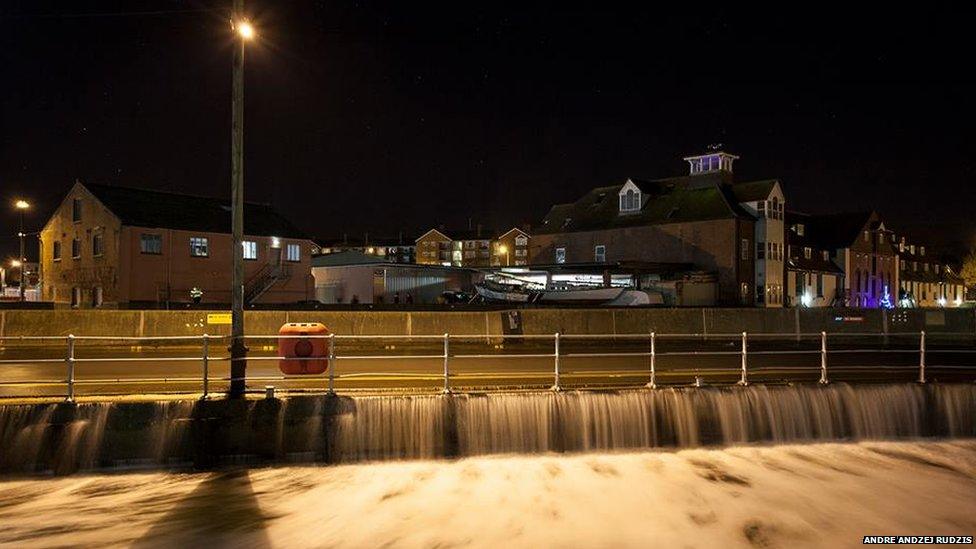
High tidal surges affected the Suffolk coast beginning on the evening of Thursday, 5 December, 2013. New Cut East flooded on Ipswich waterfront.
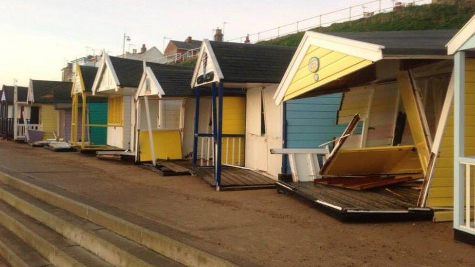
The owners of beach huts at Southwold counted the cost of the damage on Friday morning.

The River Alde burst its banks at Snape, causing flooding at surrounding houses and closing Bridge Road and The Crown pub.
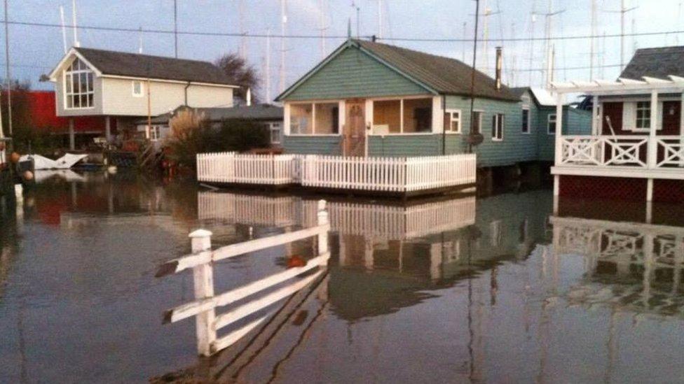
Coastal rivers had high tides of up to 2m (6ft) above the normal expected level due to the surges. Felixstowe Ferry was affected at the mouth of the Deben.
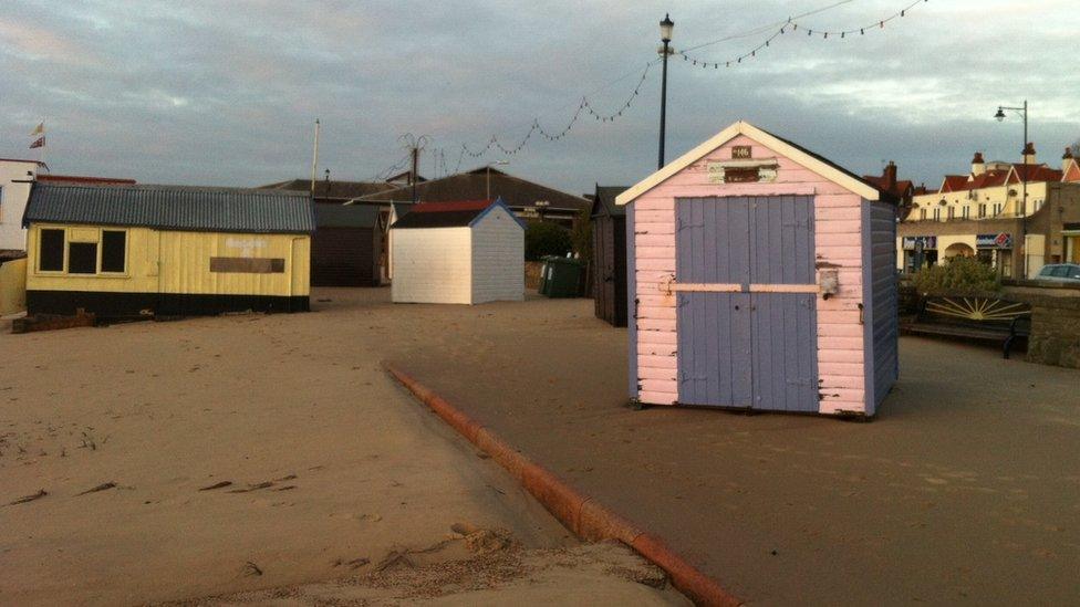
Beach huts were also thrown around by the North Sea on Felixstowe sea front near the pier.

Ralph Catchpole surveys the flooded boatyard at Fox's Marina at Wherstead. Several cars were abandoned nearby as The Strand was flooded under the Orwell Bridge.
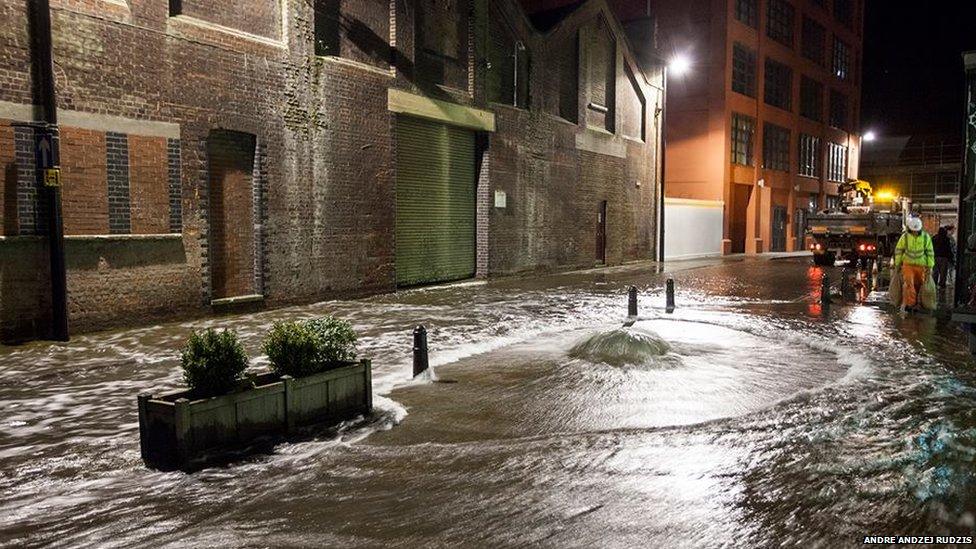
Ipswich's quayside flooded at Foundry Lane near DanceEast's Jerwood DanceHouse.
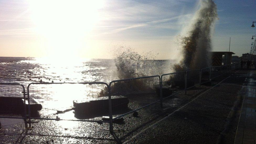
Station Square was flooded in Lowestoft on Thursday night and more flooded was expected during Friday's two high tides.

The waves continued to batter the seafront at Southwold on Friday morning. The Environment Agency predicted the tidal surges would have eased by Saturday.
- Published5 December 2013
- Published5 December 2013
- Published6 December 2013
- Published6 December 2013
- Published5 December 2013