East of England wakes to freezing temperatures and snow
- Published

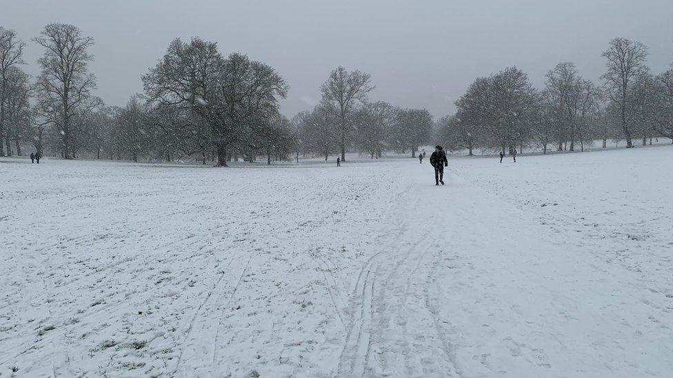
Walkers negotiate the snow in Christchurch Park in Ipswich on Saturday morning
Parts of the East of England have woken to a carpet of snow, with forecasters warning of "significant disruption" and freezing temperatures.
An amber weather warning, external until 14:00 GMT has been issued by the Met Office, with people told to expect power cuts and travel delays on Saturday.
Some areas could see up to 8cm (3in) of snow, with a chance rural communities could be "cut off", the service said.
However, the wintry downpours will give way later to a milder belt of rain.
Most of the rest of England and Scotland has a yellow snow alert in place which will last until Saturday evening.
The Met Office is warning drivers on essential journeys to accelerate their cars "gently" and leave a large gap between surrounding vehicles.

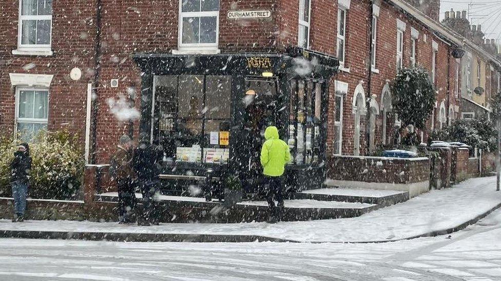
Customers brave the cold to queue for coffee in Norwich on Saturday morning
In Norfolk, gritting lorries have been out in force, with a number of roads, including the A148 and A1065 in Fakenham, and the A1122 near Downham Market, deemed impassable.
Andy Ellis, highways duty manager at Norfolk County Council, said he could not promise "an easy ride" for essential journeys but that "people should be able to keep moving".
However, Supt Chris Harvey, of Norfolk Police, said the force had been called to 18 collisions on icy roads since midnight, and said officers would consider fining drivers involved in crashes.
"Emergency services are stretched with the demands of COVID-19 and we would ask people to play their part in this collective effort and do everything they can not to overburden these services unnecessarily," he said.

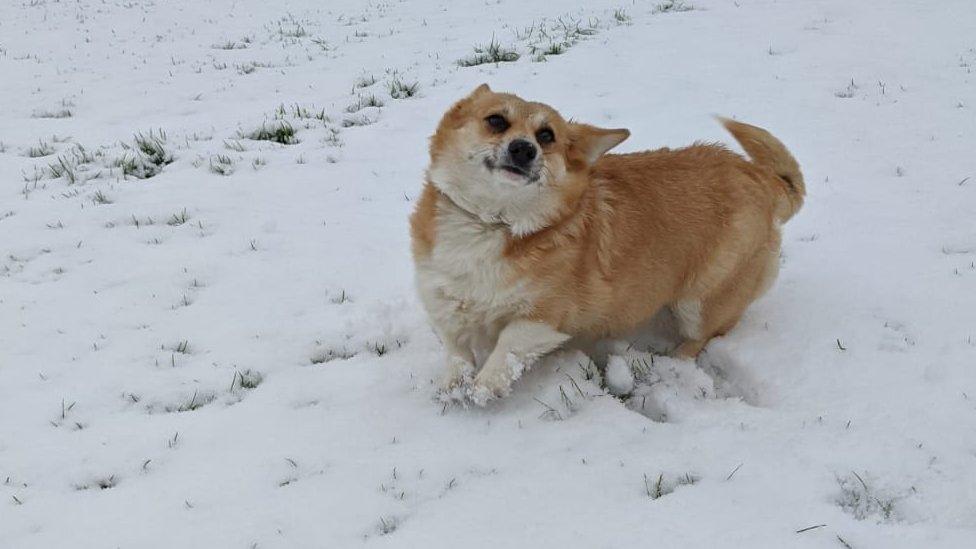
Not all bad news: Carys the corgi experiences snow for the first time at Wyverstone near Stowmarket
However, the short-lived layer of the white stuff gave many families the chance to enjoy the outdoors during lockdown.
Breckland Council in Norfolk also posted a message asking householders not to "go mixing with snowmen in other family bubbles".
Allow X content?
This article contains content provided by X. We ask for your permission before anything is loaded, as they may be using cookies and other technologies. You may want to read X’s cookie policy, external and privacy policy, external before accepting. To view this content choose ‘accept and continue’.

The Fisk family making the most of the snow in Ipswich

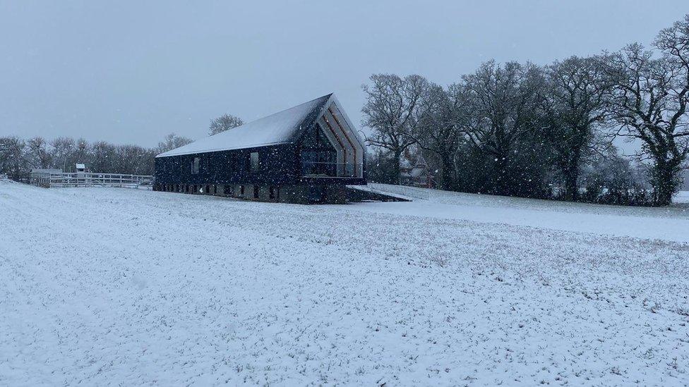
A snowy scene at Dallinghoo near Woodbridge in Suffolk
Met Office meteorologist Steven Ramsdale said the snow was caused by a "milder air mass" meeting cold air over the eastern region.
"Whilst the high ground in the north is likely to see the largest accumulations," he said, "some snow is likely to fall to low levels at times.
"In fact, parts of east England and East Anglia look most at risk of seeing 1-3 cm with 5-10 cm possible in places."
He added: "The milder air will eventually win out with the initial snow gradually turning to rain.
"This may also bring some flooding issues following recent wet weather and with snow then melting - though the snow looks to be the greater hazard."

Find BBC News: East of England on Facebook, external, Instagram, external and Twitter, external. If you have a story suggestion email eastofenglandnews@bbc.co.uk, external