Flood warnings issued amid high spring tides in Suffolk and Norfolk
- Published

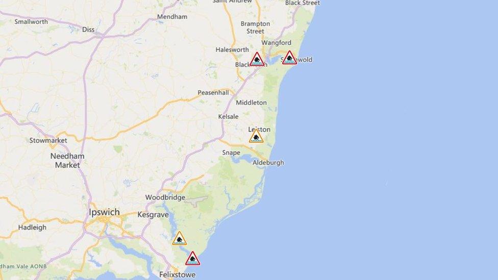
Four flood warnings (in red) have been issued due to high spring tides
Flood warnings have been issued for Suffolk and Norfolk, with strong winds and high tides forecast.
The Environment Agency has issued the warnings, external for Southwold, the A12 at Blythburgh, Bawdsey Quay and Felixstowe Ferry, for between 20:45 and 22:45 GMT.
It says spring tides could cause large waves and spray "overtopping on the coast".
There are also warnings that low-lying homes in St Olaves, Oulton Broad and Beccles could be flooded, external.
A flood warning means the Environment Agency considers flooding of homes and businesses is likely, and action should be taken.
It comes just over a month after Suffolk was badly hit by flooding during Storm Babet.
The warning states: "The forecast tides at Great Yarmouth will restrict the freshwater river drainage out to sea, resulting in higher than normal water levels within the Broads until the current high tides pass.
"Areas most at risk are in St Olaves, Somerleyton, Burgh St Peter, Oulton Broad and Beccles.
"Roads likely to be affected include Beccles Road at St Olaves, Geldeston Lock Lane, Gillingham Dam and Fen Lane in Beccles."

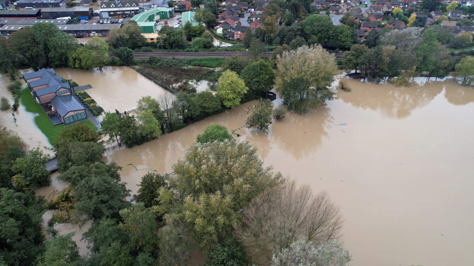
Large areas of Suffolk were severely flooded during Storm Babet
Further up the coast, "strong winds and spring tides may cause large waves, and spray overtopping on the coast. Areas most at risk are Bawdsey Quay and in front of the flood defences at Felixstowe Ferry hamlet."
The A12 at Blythburgh is also at risk of high waves and spray.
In Southwold, the areas most at risk are "Southwold Harbour, Ferry Road, the bottom of Queens Road and Constitution Hill, North Road, the bottom of Pier Avenue, and Mights Road in Southwold, and Bridge Road and Hillside Road in Reydon", the Environment Agency says.
Earlier this week, Suffolk County Council announced an investigation into the impact of the Storm Babet floods.

Follow East of England news on Facebook, external, Instagram, external and X, external. Got a story? Email eastofenglandnews@bbc.co.uk or WhatsApp 0800 169 1830
Related topics
- Published22 October 2023
