Free trails across Northumberland plan agreed
- Published

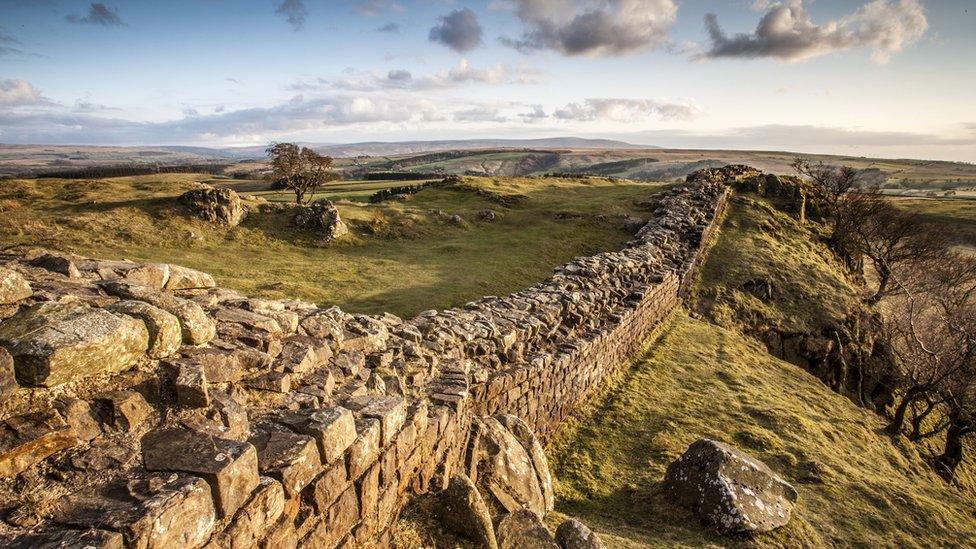
Some 218 miles (350km) of trails will be opened between Hadrian's Wall and Kielder
Plans to create hundreds of miles of trails across Northumberland's rugged landscape have been agreed.
Northumberland County Council has approved £150,000 for the first stage of a 218-mile (350km) network between Hadrian's Wall and Kielder.
The plans are being made in partnership with Northumberland National Park Authority, Forestry England and the Kielder Water and Forest Park Trust.
The first five trails should be open by next spring.
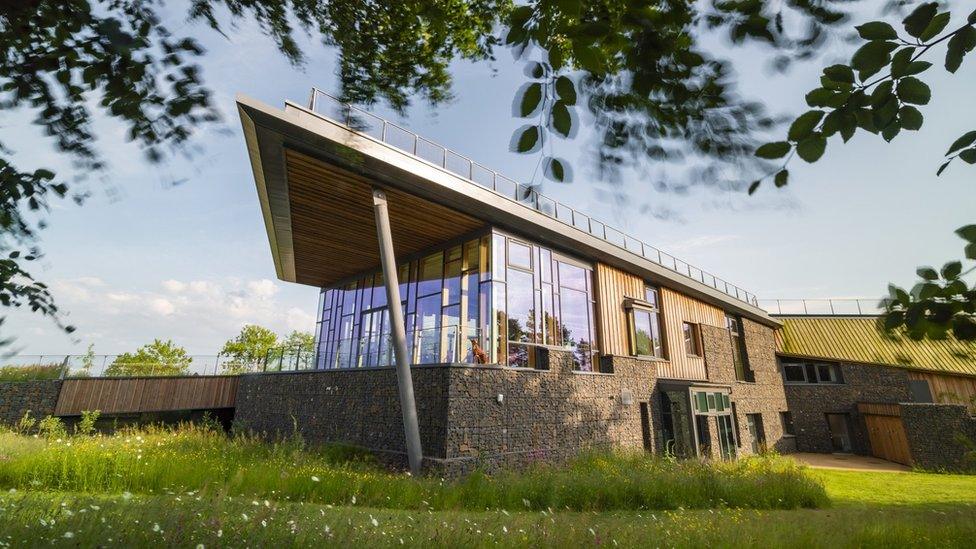
The trails will be accessible from gateways at the Sill National Landscape Discovery Centre, Walltown Country Park and Cawfields on Hadrian's Wall with access gateways also created at Kielder Castle, Waterside, Tower Knowe, Stonehaugh, Bellingham and Byrness, the Local Democracy Reporting Service said.

A gateway to the trails will be created at the Sill discovery centre
Jeff Watson, cabinet member for healthy lives, said: "This investment will bring significant benefits - unlocking the potential of the existing network of forest trails, quiet roads, and rights of way.
"The quality and scale of landscapes in Kielder and Hadrian's Wall is such that it has potential to become the premiere location for easy gravel and off-road riding in the UK.
"More importantly, if the network is designed to benefit people of every ability and confidence, it can make a significant contribution to the economic prosperity of west Northumberland and to the health and wellbeing of local people."

Follow BBC North East & Cumbria on Twitter, external, Facebook, external and Instagram, external. Send your story ideas to northeastandcumbria@bbc.co.uk, external.