Sand, skies and castles dominate Northumberland coastal path
- Published

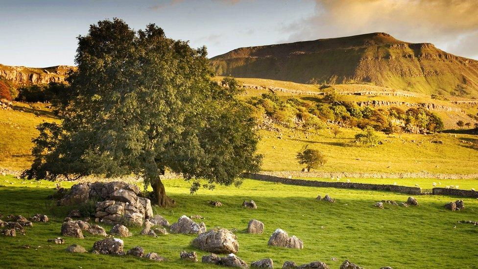
The North East part of the King Charles III England Coast Path crosses sandy dunes and beach
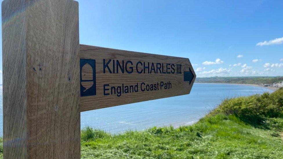
The last stretch of the King Charles III England Coast Path has opened between Northumberland and the Scottish border.
The 38 mile (61km) stretch runs from Bamburgh by Budle Bay, Holy Island and Berwick-upon-Tweed.
It is the final part of the 245 mile (394km) continuous path from Bridlington in Yorkshire to Scotland.
The full 2,700 mile (4345km) national trail is expected to be being fully walkable by the end of 2024.

The final stretch to become part of the national coast path runs north from Bamburgh
The latest route passes through numerous areas of natural and historical interest including the Northumberland Coast Area of Outstanding Natural Beauty and Lindisfarne, and offers views of Bamburgh Castle, Natural England said.
North east of England area manager Christine Venus said: "It will give people all over the country easy access to our spectacular local coastlines.
"This national asset will also benefit the local economy - bringing walkers and visitors past the many businesses on this route, to shop, for refreshments and to stay."
Jeff Watson, cabinet member for tourism at Northumberland County Council, said: "Tourism is key to Northumberland's economy and this stunning route should bring in additional visitors all year round who want to experience everything we have to offer."

Lindisfarne Castle is one of the sights on the path

Follow BBC North East & Cumbria on Twitter, external, Facebook, external and Instagram, external. Send your story ideas to northeastandcumbria@bbc.co.uk, external.
Related topics
- Published10 May 2023
- Published10 May 2023
- Published1 May 2023