Yorkshire Dales: Project aims to photo each square kilometre
- Published
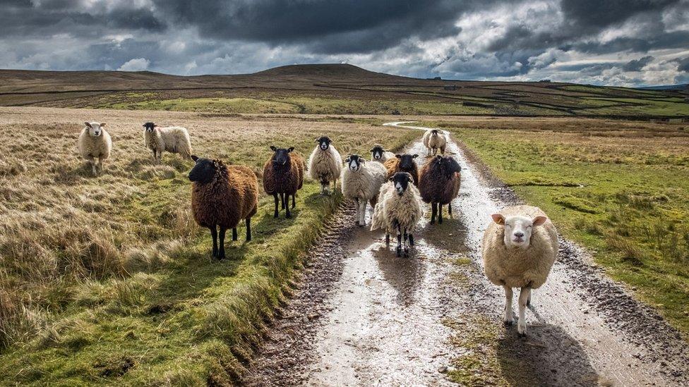
Tom Marsh, project organiser, said an image of sheep in Swaledale 'summed up the entire park in one photo'
An exhibition of images captured by a team of photographers aiming to cover every square kilometre of the Yorkshire Dales National Park has opened.
Sixty amateur and professional snappers donned their walking boots and took a photo at each point where OS map grid lines intersected in the park boundary.
About 1000 images were submitted over 18 months, with each participant covering an average of 16sq km each.
A collection of the best photos has gone on display in Leyburn.
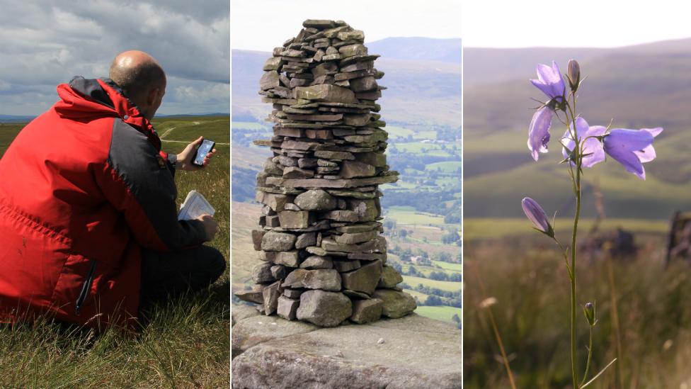
Participants used Ordnance Survey maps and GPS devices to take an image in the correct location
The Yorkshire Dales Photographic Grid Project saw each photographer allocated a section of land, with all photos taken as part of the project collated in an online gallery., external
Volunteers were told to seek permission from the landowner to take a photo if their grid square intersection fell on private land.
Midway through the project it was announced the national park would grow in size by 24%, meaning the project's task became even more ambitious.
The Yorkshire Dales National Park now covers a total of 2178km sq, with the team hoping to have covered it all by the end of 2018.
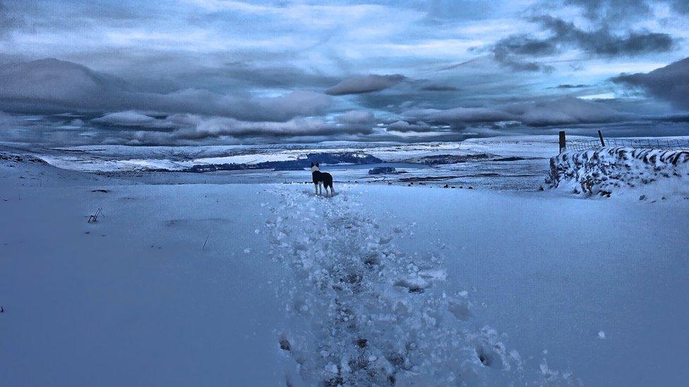
The photographers went out during all conditions to capture their designated areas of the park
Project organiser Tom Marsh said: "The concept isn't a new idea, it was first done in Portland Oregon in the mid-90s, but nothing had been done on the scale of an entire national park before.
"We want to make a complete archive and put it online, but I would like to tour the exhibition nationally to really show off this part of the world and display its diversity."
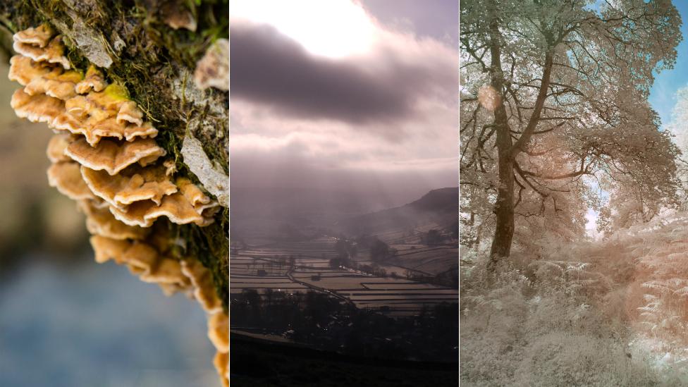
Fifty-seven of the best images have gone on display at a public exhibition
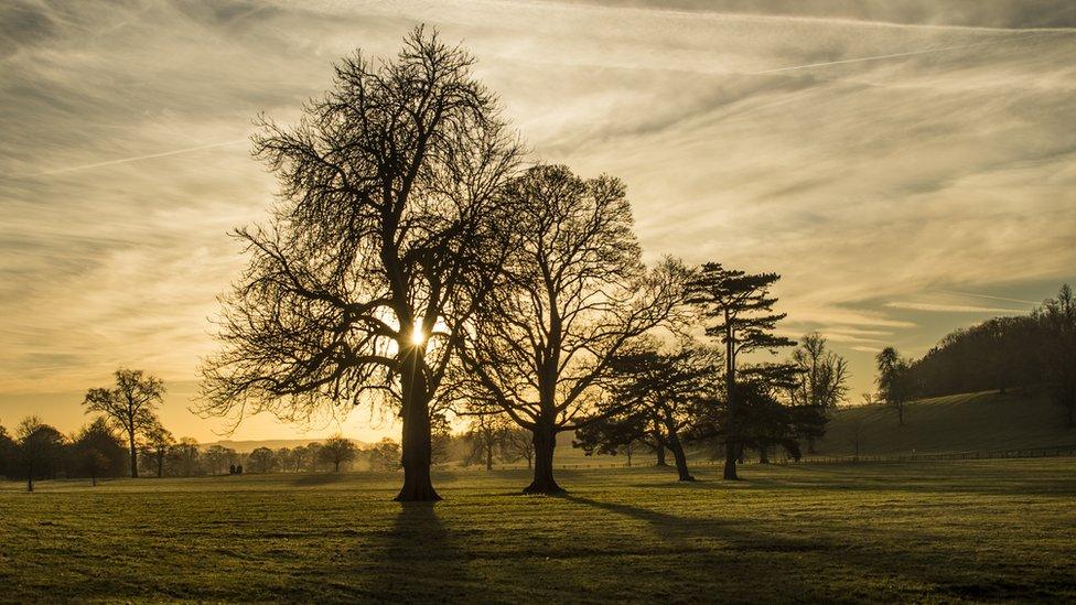
Mr Marsh, who came up with the idea of the project, covered three areas himself
Each participant spent about two days covering their area before submitting photos.
Mr Marsh continued: "It started as a social media call-out for photographers and it snowballed from there over a couple of weeks.
"Over 100 people initially offered to help, but some soon realised the daunting nature of the task at hand and pulled out - thankfully, most stayed on."
The exhibition, featuring 57 photos and a digital slideshow, can be visited at the Yoredale National Park Centre in Bainbridge until the end of September.
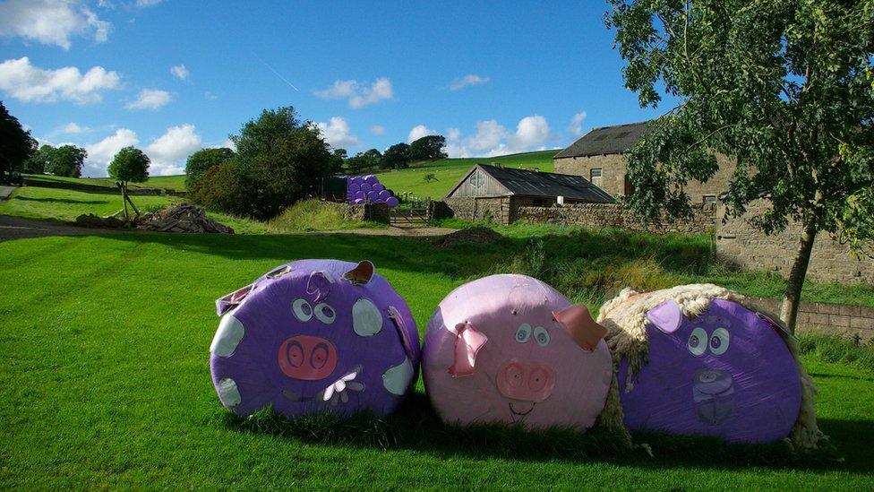
Some unusual bales were photographed in Bolton Abbey
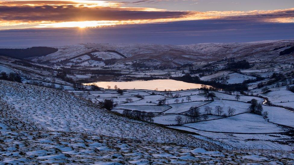
The project hopes to have covered the entire Yorkshire Dales National Park by 2018
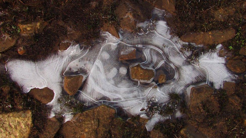
Participants were allowed to be as creative as they wished with their images
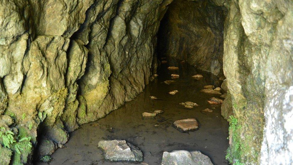
Some of the grid square intersections landed on unusual locations, including a cave in Appletreewick
- Published1 August 2016
- Published11 April 2015
