Yorkshire gets Storm Babet amber weather warning
- Published

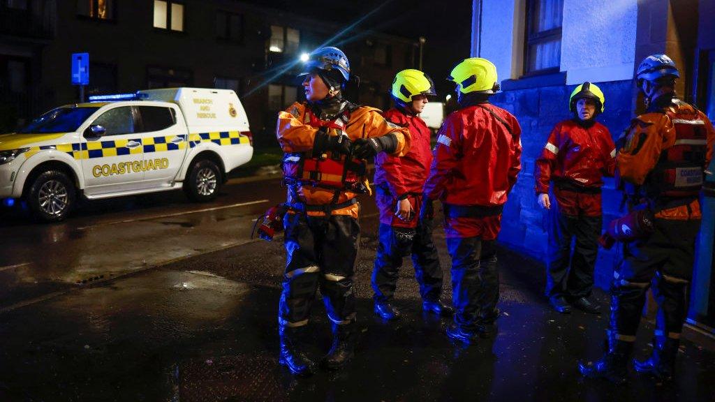
Storm Babet has already hit the north east coast of Scotland, with people in one town being asked to leave their homes
An amber weather warning for parts of Yorkshire has been issued by the Met Office as Storm Babet batters parts of the country.
The warning, due to a forecast of persistent heavy rain, runs from 12:00 BST on Friday to 06:00 BST on Saturday.
It means homes and businesses are likely to be flooded and there could be problems with road and rail travel.
Frank de Planta, from the Environment Agency, said staff were preparing for "the worst case scenario".
The agency had opened its incident rooms in Leeds and York and put staff on alert, he said.

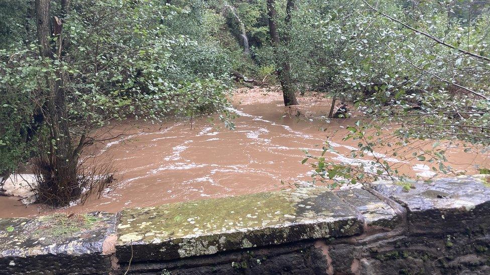
Storm Babet has caused flooding in parts of Ireland
Mr de Planta added that water pumps and sandbags were on standby and flood barriers in York and Hull were ready to be activated.
People could call the Floodline number for more information, he said.
"Do the most you can yourself by moving things from below to upstairs if you think there is a likelihood of flooding," he urged.

Analysis by Paul Hudson, BBC Look North's climate correspondent
The Met Office has upgraded the yellow rainfall warning which is in force across much of our region to an amber warning for Pennine areas, ahead of widespread heavy rain which is expected to develop on Thursday night and to last into the first part of the weekend.
Driven on by a strong easterly wind, a process called "orographic enhancement" - where air is forced aloft when it hits the higher ground, enhancing rainfall amounts - is expected to result in totals in excess of 4ins (100mm) of rain in exposed parts of the Pennines.
Rainfall totals away from the hills will be high, too - perhaps in excess of 2ins (50mm) in some areas.
The Environment Agency is not currently expecting widespread flooding, but with some areas still to properly recover from a very wet period in July and August, they will be keeping a very close eye on river levels in the next 24-36 hours.
Mr de Planta said Storm Babet was unusual.
"Traditionally the water lands on the Pennines and then flows down to the sea eastwards," he said.
"This weather front is actually coming in from the east and heading to the west, so the water is going to fall first on the lowlands and then on the Pennines.
"So, we're concentrating our efforts on the lowlands."
The storm has already hit Ireland and Scotland, leaving thousands without power.
Residents in some villages north of Dundee were asked to leave their homes due to the risk of severe flooding.

Frank de Planta, from the Environment Agency, said water pumps and sandbags were on standby in case they were needed
Follow BBC East Yorkshire and Lincolnshire on Facebook, external, Twitter, external, and Instagram, external. Send your story ideas to yorkslincs.news@bbc.co.uk, external.
Related topics
- Published20 October 2023
- Published18 October 2023