Tail end of Hurricane Ophelia on way to Ireland
- Published
- comments

Ireland could be hit by winds of up to 70mph
Ireland could be hit by winds of up to 80mph as the remains of Hurricane Ophelia strikes at the start of next week.
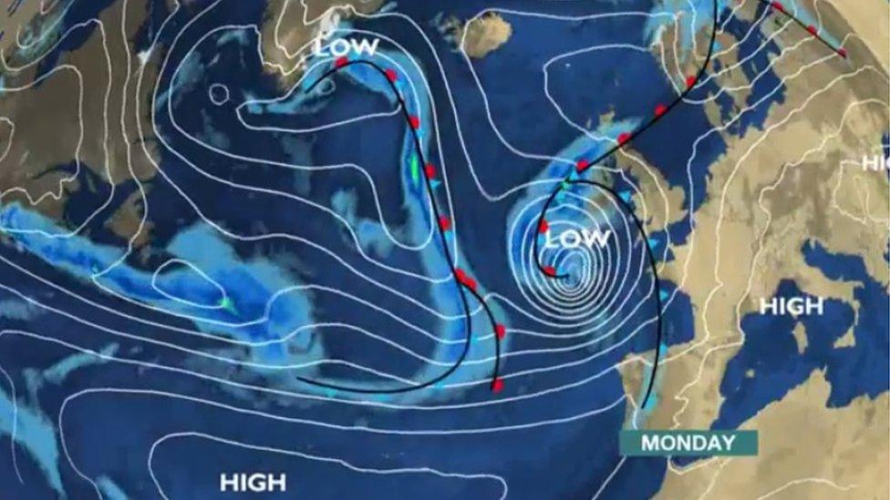
The hurricane looks set to travel north towards Ireland and Britain from the mid-Atlantic.
By the time Ophelia reaches our shores - likely to be the west of Ireland - on Monday it will have become an ex-hurricane.
However, the deep area of low pressure will still pack a punch.

"Most ex-tropical features come across the north Atlantic from Newfoundland," said John Wylie from the Met Office at Aldergrove in County Antrim.
"This one, from the south west, is more unusual. Although it has happened before.
"The most famous was ex-hurricane Gordon in 2006, external."
Allow X content?
This article contains content provided by X. We ask for your permission before anything is loaded, as they may be using cookies and other technologies. You may want to read X’s cookie policy, external and privacy policy, external before accepting. To view this content choose ‘accept and continue’.
The Met Office warns that wind gusts of up to 70mph (115km/h) can be expected in exposed areas, with gusts up to 60mph (95km/h) elsewhere.
Some delays to road, rail, air and ferry transport are possible according to the Met Office's yellow weather warning for Northern Ireland.
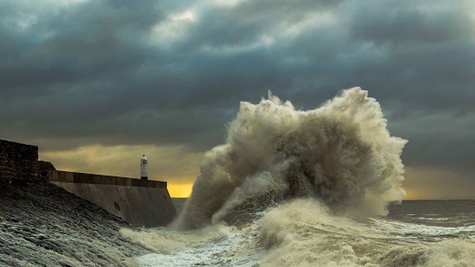
"It is possible that some coastal routes, sea fronts and coastal communities will be affected by spray and larges waves," it says.

The storm is likely to strike on Monday
Irish weather service Met Éireann has issued its highest level warning - status red - for five counties.
Clare, Cork, Galway, Kerry and Mayo are expected to be hit by gusts in excess of 130km/h (80mph).
Those winds could cause "structural damage and disruption, with dangerous marine conditions due to high seas and potential flooding", according to Met Éireann.
Allow X content?
This article contains content provided by X. We ask for your permission before anything is loaded, as they may be using cookies and other technologies. You may want to read X’s cookie policy, external and privacy policy, external before accepting. To view this content choose ‘accept and continue’.
A status orange warning has been issued for the rest of the Republic of Ireland.
"Mean wind speeds between 65 and 80 km/h with gusts between of 110 and 130km/h are expected, however some inland areas may not be quite as severe," added Met Éireann.
"There is a lot of uncertainty as to the exact evolution and movement of this weather system during the coming four days, but storm-force winds, outbreaks of heavy rain, and very high seas are threatened."
It is important to note that the track of the storm may change in the coming days and that will determine if warning levels are increased or not.