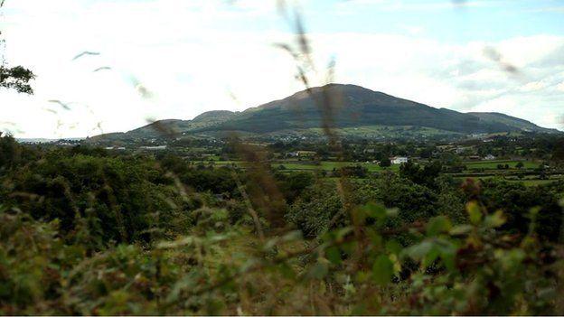
Slieve Gullion: Healing 'scars of erosion' on south Armagh summit
- Published
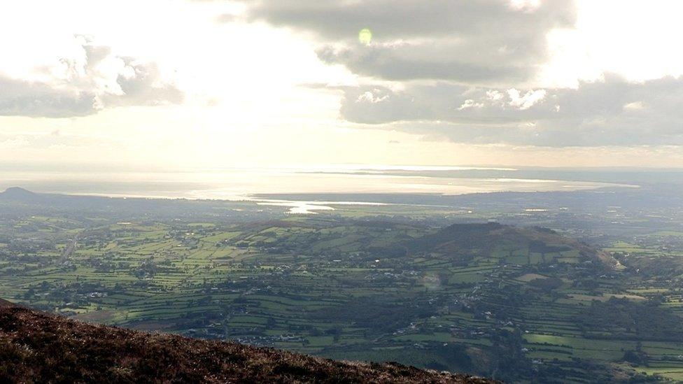
The panoramic views from the top of Slieve Gullion are a fine reward for hikers
It's the highest point in County Armagh and is filled from top to bottom with history, heritage and folklore - some of which dates back thousands of years.
But more recently the surface of Slieve Gullion has been struggling to cope with the number of visitors scaling its 573m (1,880ft) height.
The problem is at its worst between what is known as Cailleach Beara's House and the mountaintop lake.
Slieve Gullion offers beautiful views to climbers
The house is an ancient passage tomb that only allows sunlight in at sunset on the winter solstice - but its appeal endures throughout the year.
Darren Rice, a Ring of Gullion officer, estimates that more than 30,000 people climbed the mountain last year.
He is leading a £125,000 project that he hopes can solve the problem in the long term.
"The landscape is a special area of conservation," he said.
"With so many visitors coming up on the mountain, they've created an erosion corridor on the summit and in some places that scar is 20m (66ft) to 25m (82ft) wide.
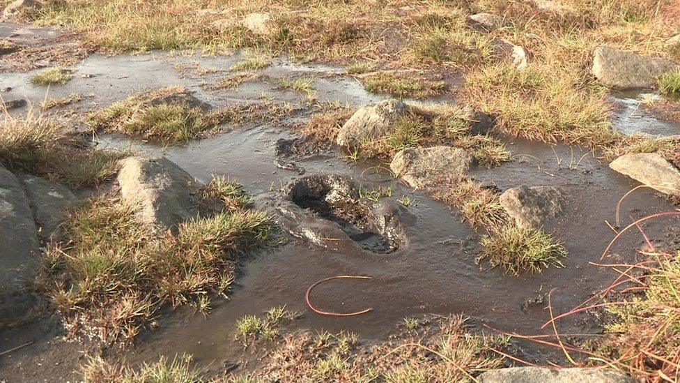
In wet weather the "erosion scar" on Gullion can turn into a muddy quagmire
"What we are planning to do is build the path in the middle of that erosion scar to keep people off that special habitat.
"Whenever people start walking on the path we are hoping that habitat will begin to regenerate naturally and come back to full health."
The project is funded by the National Lottery Heritage Fund, the Northern Ireland Environment Agency and Newry, Mourne and Down District Council.
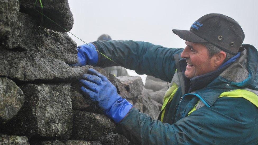
The path is being built by Ian McBain and his team. They have travelled from Scotland for the job and every day begins with a climb up the mountain.
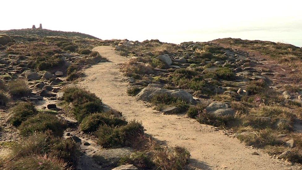
The parts of the path that are finished provide a firm foundation for visitors to the mountain
Fortunately, they do not have to bring their equipment with them; it was dropped on the mountain in dozens of large bags by a helicopter.
Those bags are filled with local stone, wool and rushes, which will be put down in layers.
"We are using rushes that came from the hill instead of plastic (for the base of the path) to stop it sinking down into the peat," he said.
"If no oxygen gets in at them, they could last for hundreds of years once they are covered and the peat comes in around them."
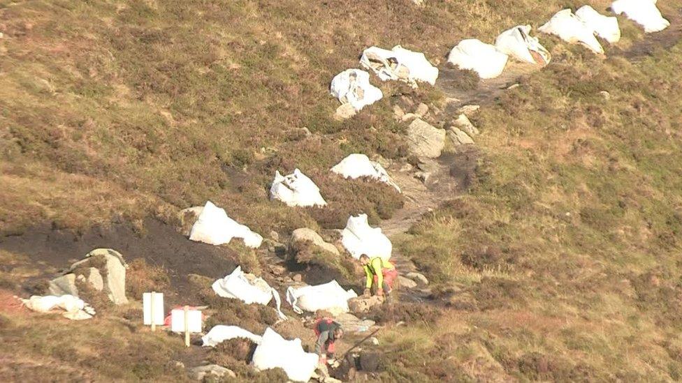
Big bags of local stone used in the repair were dropped on the mountain by helicopter
Archaeologist Cormac McSparron from Queen's University in Belfast is also on site to make sure the history of the mountain is protected.
"There is a Neolithic passage tomb that dates to about 3,200 or 3,300 BC and then a couple of hundred metres away there is a Bronze Age Cairn from about 2,000 BC," he said.
"There were prehistoric burials inserted into both."
He said the folklore associated with the mountain was also of interest.
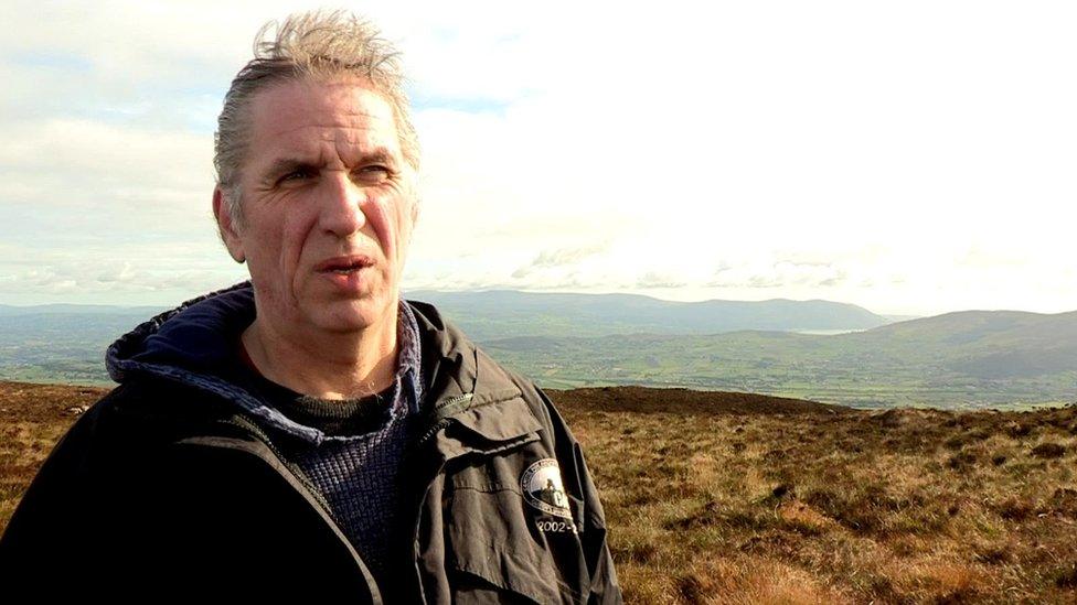
The work on Gullion is being watched closely by archaeologist Cormac McSparron
"Tales of Cú Chulainn, the Red Branch Knights and the cattle raid of Cooley as well as Fionn Mac Cumhaill (Finn McCool) who wasn't some sort of comic giant like the tourist board would like us to believe, he was actually the leader of a band of warriors."
Among the expected users of the path will be mountain runners.
Paul Le Blanc and Sarah Quinn from Newry Athletics Club make it look incredibly easy before stopping for a chat.
"We'll probably run faster if we've got a better pathway," said Sarah.
"We appreciate that if you are stepping on soft ground that it will deteriorate so we'd be keen to stick to paths. Obviously we want to get to the top as quickly as possible."
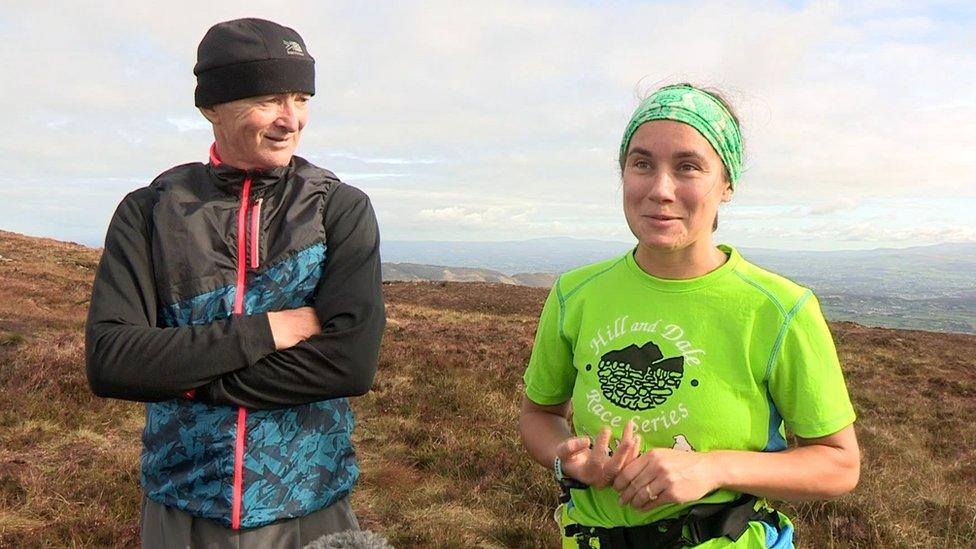
Paul Le Blanc and Sarah Quinn from Newry Athletics Club run up Gullion regularly
Paul said he believes the new path will mean fewer injuries.
"Normally you see people coming to the end of a race with knees all bloody but that is just part of the sport," he added.
Sarah and Paul say they can run up and down the mountain in 40 minutes.
- Published2 May 2019
- Published27 December 2018
- Published21 December 2018
