Heavy snow showers forecast for parts of Northern Ireland
- Published

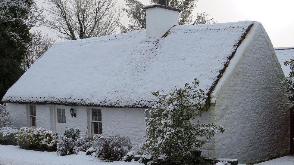
Binevenagh Forest near Limavady was carpeted with snow last weekend and there is more on the way
Heavy snow showers and lightning are forecast for northern and western counties of Northern Ireland from later on Wednesday afternoon.
The Met Office has updated its yellow warning for wind and snow to snow and lightning in counties Antrim, Tyrone, Fermanagh and Londonderry.
The warnings come into force at 17:00 GMT and will last until 20:00 on Thursday.
The Met Office said some of the areas may be affected by lightning.
Following windy weather and rain during the day, temperatures are expected to drop sharply in the evening.
Showers will turn increasingly wintry, with snow initially on high ground dropping to lower levels through the night.
By Thursday morning, a covering of snow is expected in some areas, with several centimetres possible at some lower levels and more over hills and mountains.
The gusty winds will mean blizzard-like conditions are likely on some high-level roads, for example the Glenshane Pass and the Coleraine to Limavady Road.
Temperatures will drop below 0C in places, leading to icy stretches through the rush hour on Thursday morning.
Allow X content?
This article contains content provided by X. We ask for your permission before anything is loaded, as they may be using cookies and other technologies. You may want to read X’s cookie policy, external and privacy policy, external before accepting. To view this content choose ‘accept and continue’.

The combination of heavy snow showers and gusty winds will mean treacherous conditions for commuters.
The showers will turn to a mix of rain, sleet, hail and hill snow by Thursday afternoon.
Winds will gust close to 50mph (80km/h) in exposed areas and as showers move through but winds will not be as strong as they were with Storm Franklin
More windy weather is expected on Thursday night, and at times over the weekend, but Friday will be a recovery day.
Earlier in February, named storms hit the UK and Ireland bringing strong winds, snow and rain.
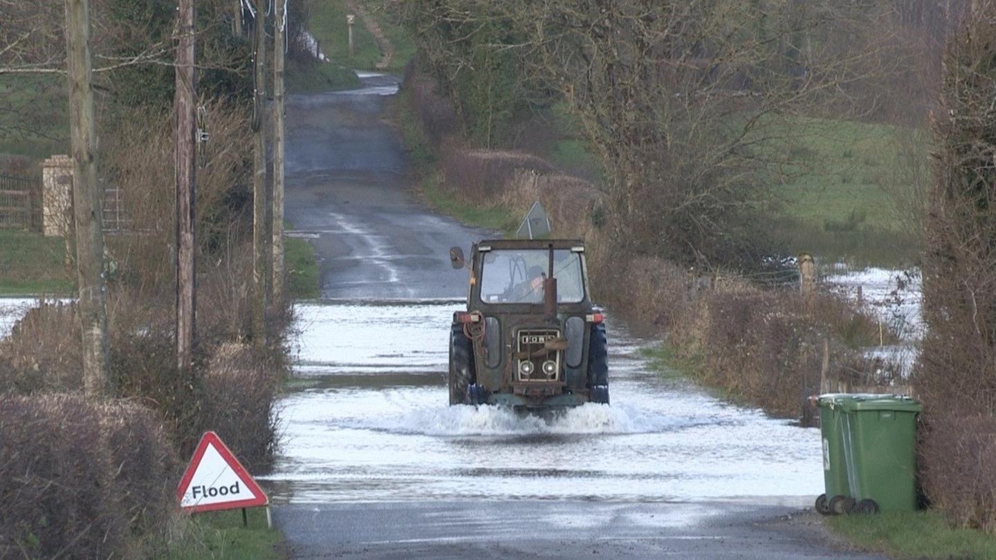
Heavy rainfall ahead of Storm Franklin's arrival caused severe flooding in parts of Northern Ireland.
This was followed by Storm Eunice, which saw flights and ferries cancelled and snow in some parts of the country.
In the Republic of Ireland, a council worker died while trying to clear fallen trees during Storm Eunice.
Related topics
- Published22 February 2022
- Published22 February 2022