Summer storms: Why are thunderstorms breaking the Northern Ireland heat?
- Published
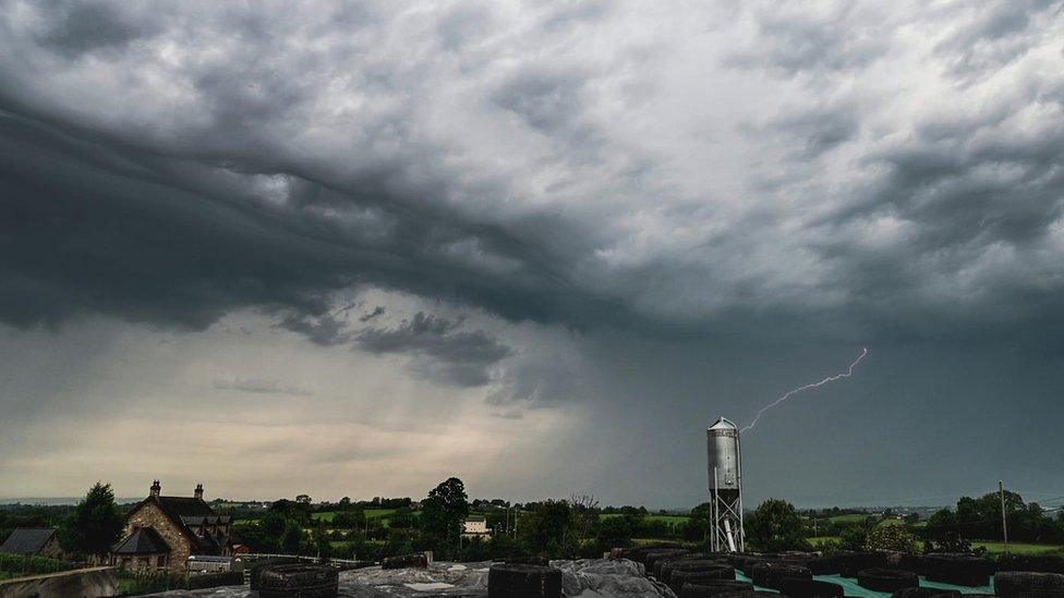
Heavy downpours expected after the warm June weather
Northern Ireland had a hot June, with settled spells due to high pressure and the jet stream to the north of the UK and Ireland.
But we cannot have settled weather forever - hence the recent bout of thunderstorms.
They develop under certain atmospheric conditions, generally with cold air high up and warmer air underneath.
The jet stream that was to the north is now sinking to the south of us, with areas of low pressure taking over.
With the colder air coming in over the warmer surfaces on the ground beneath, the atmosphere has become more unstable - and the weather more unsettled.
On Saturday, a yellow warning for thunderstorms has been issued for Northern Ireland which ends at 20:00 BST.
How do we get thunderstorms?
Warm air is lighter and less dense so it rises - the more unstable the air, the higher it goes.
The water vapour then condenses and develops into the huge cumulonimbus storm cloud, which tower into the sky and often develop an anvil shape at the top.
These clouds can develop very quickly and produce heavy downpours, thunder and lightning.
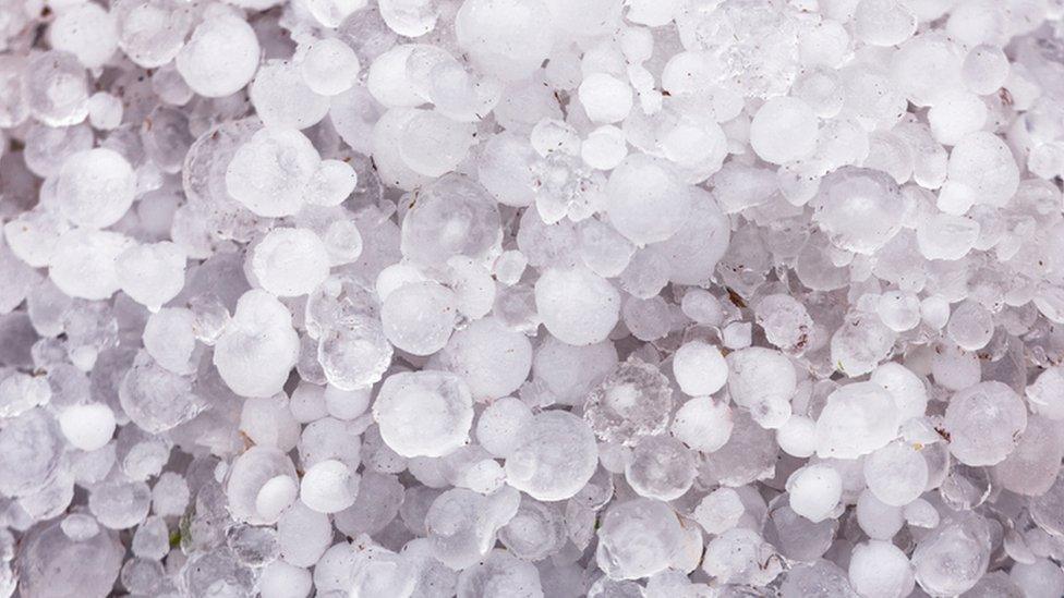
These hailstones are what cause lightning
As water droplets are forced higher in updraughts within the cloud, they start to freeze and turn into hail.
The hailstones become heavier as more water droplets freeze onto them.
As a result, they start to fall, gathering negative charge as they bump into positively-charged lighter ice crystals.
Eventually, the hail and negative charge gather at the bottom the cloud with positive charge at the top.
When the difference becomes too great, the negative and positives start to react to try to balance and equalise the atmosphere.
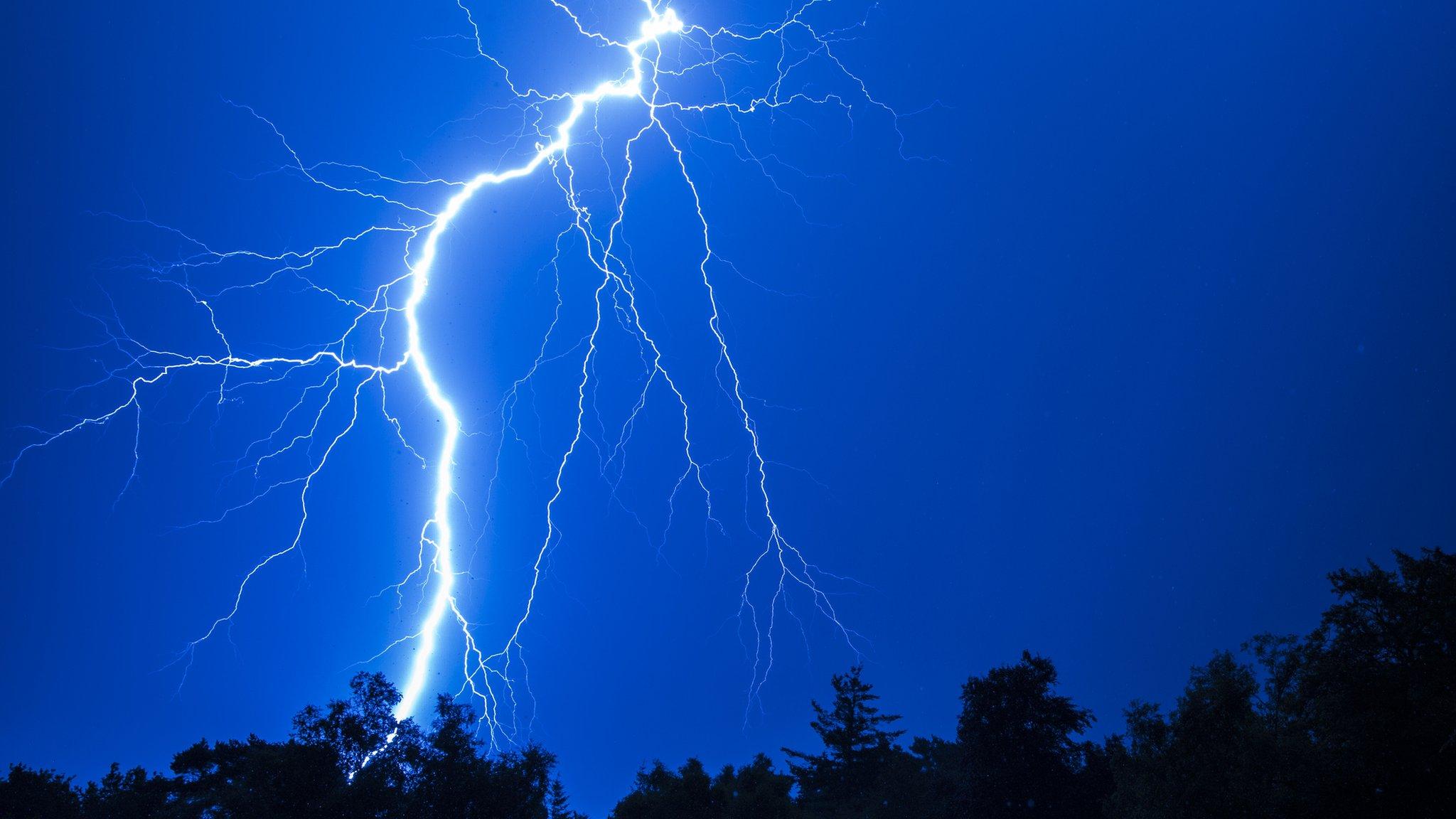
The air expands and heats creating a flash of light - what we see as lightning.
Then the audio - thunder.
This discharge of electrical charge can occur within the cloud as sheet lightning or with the ground, known as cloud to ground lightning.

The warm weather in June means thunderstorms will be more intense
Thunderstorms develop more frequently where conditions are very warm and humid, the heat adding extra energy to the atmosphere.
With the heat, summer thunderstorms tend to be more intense than in the winter.
They also usually occur on land as it is warmer than the sea.
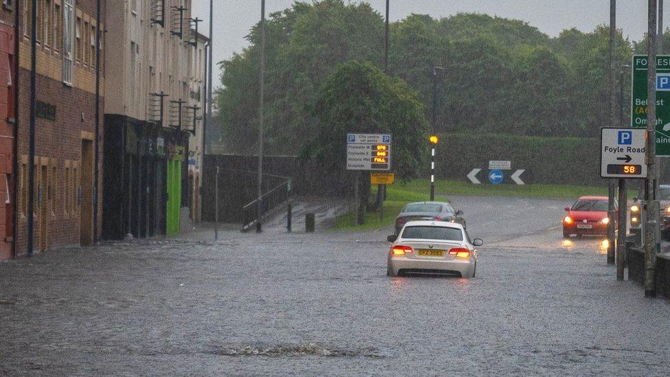
A number of roads in Londonderry were flooded due to the heavy rain last July
Another area of low pressure moves in towards the weekend with a spell of heavy rain followed by showers on Saturday which could be mixed with hail and possibly thunder and lightning.
So, there is still a risk of local disruption and flooding.
Related topics
- Published10 July 2023

- Published10 July 2023
- Published30 June 2023
