NI weather: The difficulties in forecasting snow
- Published

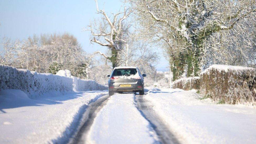
There was heavy snowfall in Northern Ireland in March
I've been a meteorologist for more than 25 years and I'm often asked: "What is the hardest thing to forecast?"
There's never any hesitation - my immediate answer is always: "Snow."
We often get our first flakes of snow before the end of November.
And in recent days and weeks there has been chat in the media and online about colder weather arriving. So when might we start to see the white stuff falling from the sky?
How does snow form?
Most precipitation starts as snow when it falls from clouds, even sometimes in summer if the cloud base is high enough in the atmosphere. Generally air temperatures fall with height.
Temperatures in the higher atmosphere will be sub zero and as the precipitation falls, the air temperature will rise.
The level where snow turns to rain is known as the "freezing level".
This is where the difficulties arise as the "freezing level" can change over very short times and distances. For example, the freezing level will be lower in a city compared with a mountainous region.

A very small amount of snow can lead to significant disruption
If the freezing level is higher than where you live but only by a fraction, you may be able to see snow on nearby hills and on cars coming into the city from more rural areas. This is why it can be raining in Belfast and snowing in Hannahstown.
In terms of disruption, although 1mm of rain approximates to 1cm of snow, there is a big difference between 5 or 6mm of rain and 5 or 6cm of snow.
In fact, a very small amount of snow can lead to significant disruption depending on where and when it falls. It makes most forecasters very nervous.
How cold does it need to be?
If the temperatures are below freezing, then snow is a no brainer, unless we are talking seriously cold - for example, negative double digits.
In this case, there is some truth to the saying "too cold to snow" as air this cold is very dry and holds no moisture.
But in Ireland we are surrounded by relatively warm seas, and so depending on where the air has come from is crucial.
A slight change in the wind direction can make all the difference.
Northerly or easterly winds bring the greatest risk of snow, as the sea influence is minimal.
In the winter the air will have originated from a much colder source - for example, the Arctic or Poland.

In Northern Ireland the heaviest snowfalls tend to occur when the air temperature is between zero and plus 2 degrees Celsius
In Northern Ireland our temperatures are often near freezing and a fraction of a degree is all that separates rain and snow.
On that point, it is a myth that the temperature needs to be below zero to snow.
In fact in this country the heaviest snowfalls tend to occur when the air temperature is between zero and plus 2 degrees Celsius.
Snow can quite often start as rain or sleet at ground level but if it is prolonged or heavy enough the freezing level will drop and snow will become prevalent.
For most of us it's usually pretty exciting to see snow, because it doesn't happen that often.
Many people love to wake up to snow on Christmas morning but that is even rarer.
The snowiest Christmas Day on record was in Hillsborough in County Down in 2010, when 17cm of snow was recorded.
Related topics
- Published8 October 2024
- Published10 March 2023
- Published10 March 2023