Commonwealth frames: Rescued archive images and maps
- Published
A collection of 1.5 million photographs, maps and other materials relating to the Commonwealth have been rescued from a defunct museum in Bristol.
The images were taken for the Directorate of Overseas Surveys (DOS) from the 1940s until the 1990s, and show communities and landscapes in 55 countries.
Now in Edinburgh, the photographs are being digitised and catalogued by the National Collection of Aerial Photography (NCAP). The organisation is hosted by the Royal Commission on Ancient and Historical Monuments of Scotland (RCAHMS).
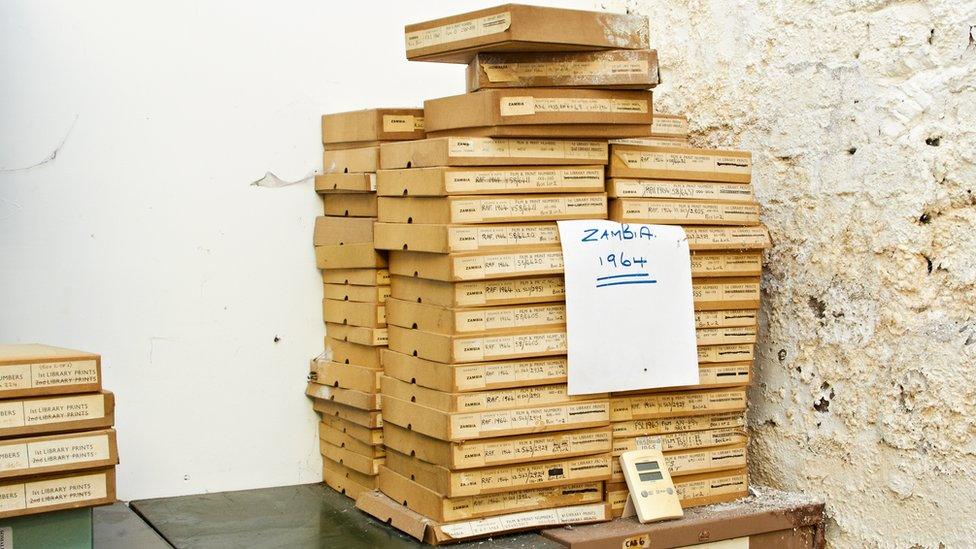
RCAHMS has described the collection as being like a Doomsday Book of the Commonwealth, showing changes in the shape of towns, villages and natural landscapes across the world.
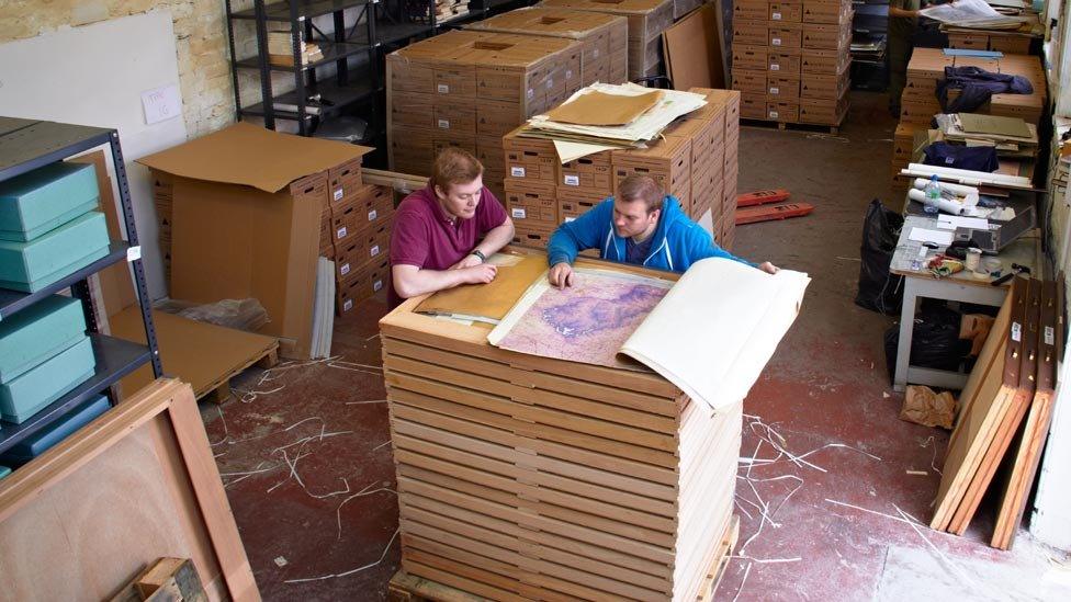
The NCAP team spent six weeks in the old museum building in Bristol sorting through boxes and filing cabinets filled with aerial photographs, maps and other documents.
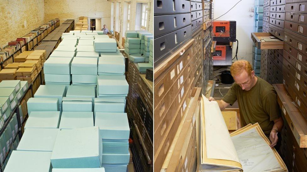
The large volume of material that the team gathered from the museum will be digitised and catalogued country by country. The material will eventually be made available to the public as an online resource.
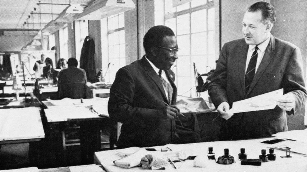
The DOS was founded after the end of World War Two and was tasked with surveying and mapping the Commonwealth.
Hundreds of its staff worked at the organisation's headquarters in Tolworth, London.
Other employees, many of them demobbed armed forces personnel and pilots, worked overseas.
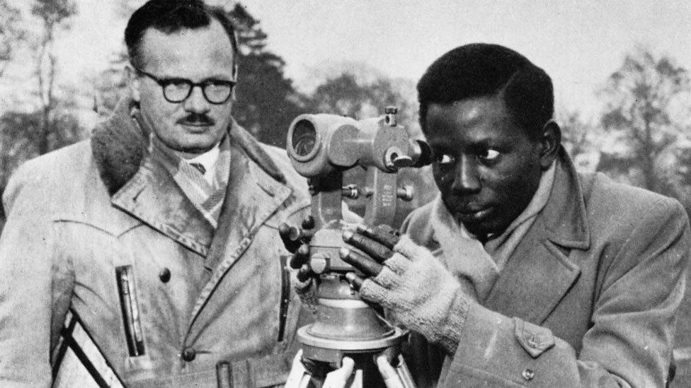
The work of the DOS recorded the impacts of human activity and natural events, such as volcanic eruptions.
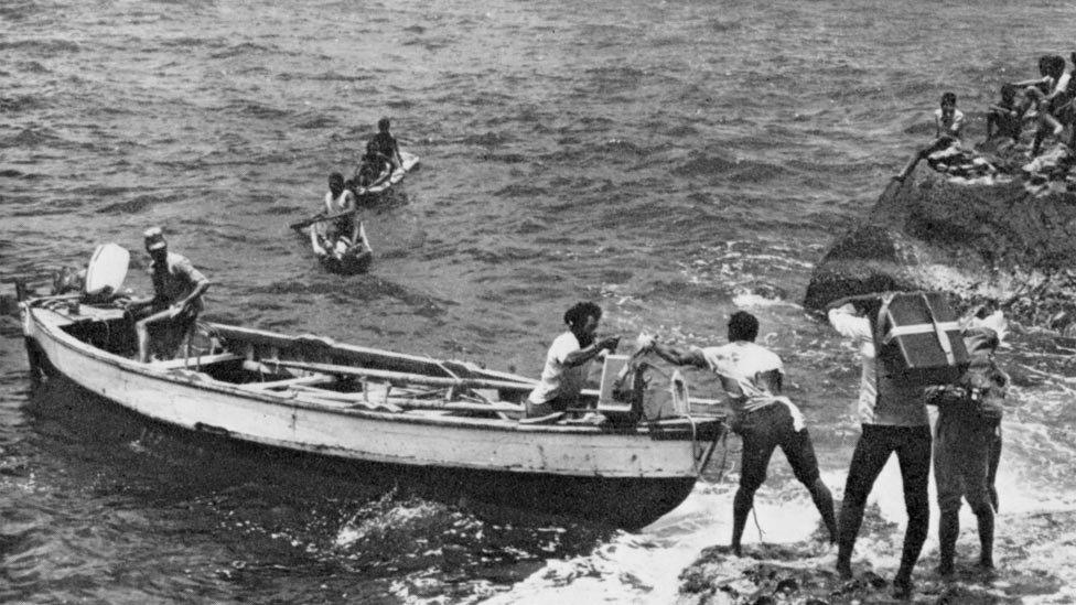
Many of the images show the Caribbean, South East Asia, islands in the Atlantic, Pacific and Indian oceans and also large parts of Africa.
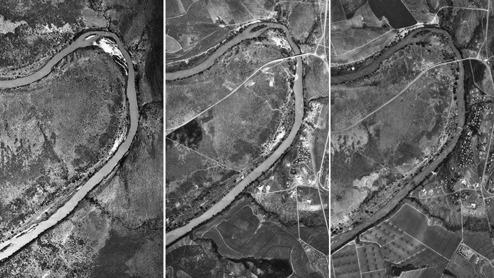
A series of images show Big Bend in Swaziland in 1947, 1961 and 1971.
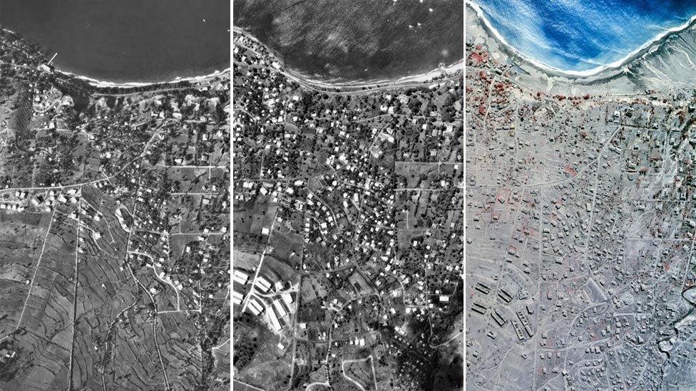
Aerial photographs taken in 1968, 1982 and 1999 of the tiny Caribbean island of Montserrat.
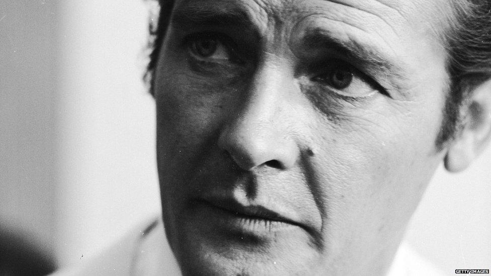
The DOS was referenced as the source of maps used to locate the hideout of Bond villain Scaramanga in The Man with the Golden Gun.
The 1974 film adaption of Ian Fleming's book, starred Roger Moore as 007 and Christopher Lee as Scaramanga.