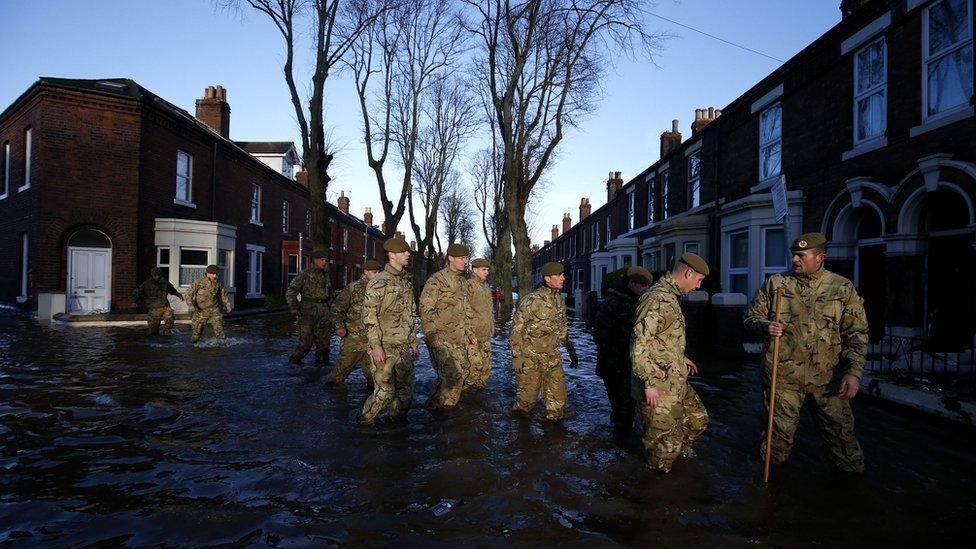
Storm Desmond: Floods hit across large parts of Scotland
- Published

The clean-up operation is now getting under way in Hawick
Flooding is affecting many parts of Scotland after the country was battered by strong winds and heavy rain brought in by Storm Desmond.
About 600 people had to be evacuated from their homes in the Borders town of Hawick.
There are multiple diversions on roads throughout Scotland and high wind warnings on most of the bridges.
Dozens of flood warnings remain in place, external and police have urged drivers to travel with caution.
A severe flood warning in Hawick has now been lifted but flood alerts are active along sections of rivers in the Borders, Tayside and Moray and Speyside.

At the scene
Homes have been evacuated in Hawick after heavy rain and flooding
BBC Scotland's Catriona Renton
The sky above Hawick is now blue and there has not been a drop of rain for hours. So very different from last night when the River Teviot flowed fast and angrily through the town.
Throughout yesterday 600 people were evacuated from their homes along the river bank.
Some sought refuge in the local sport centre, many spent the night in bed and breakfasts or with friends and family.
In nearby Newcastleton people were also moved out of their homes temporarily as Storm Desmond made its mark.
The local volunteer flood group in Hawick were busy helping throughout. Now the town counts the cost and assesses the damage.
Last night the famous Pringle shop in Hawick had water up to its letterbox.
Today to look at Hawick you would hardly know there had been a flood here but while the water drains away its effects remain.

The River Tay in Perth was expected to reach its highest level for more than a decade and other rivers are at risk of bursting their banks.
Homes close to the River Esk in Langholm were also evacuated on Saturday night as water breached the bank, while flooding has also been reported in some areas of Annandale and Eskdale including Wamphray, Cummertrees and Hoddom.
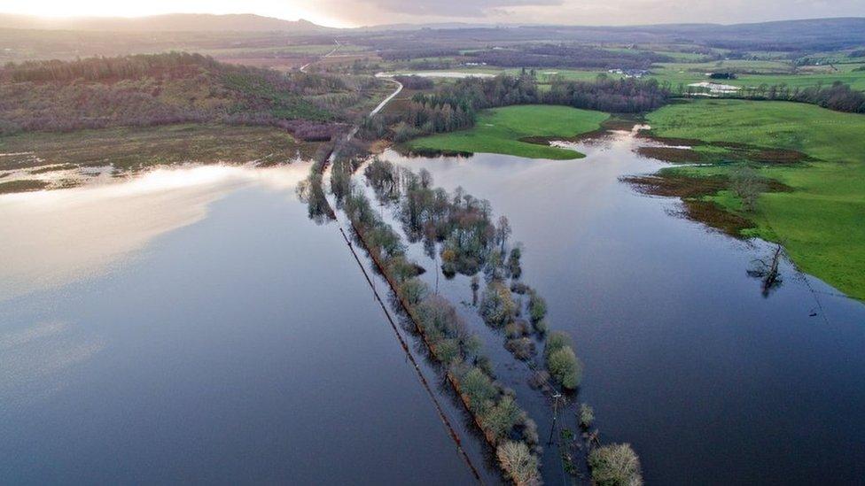
Drivers have faced flooded roads across the country - here on the A81 to Aberfoyle
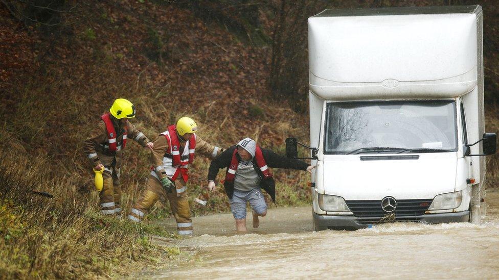
A man is helped out of his van after the River Teviot flooded
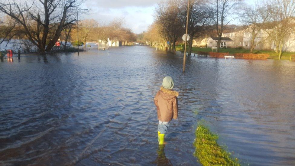
This was the scene after flooding in Bridge of Allan
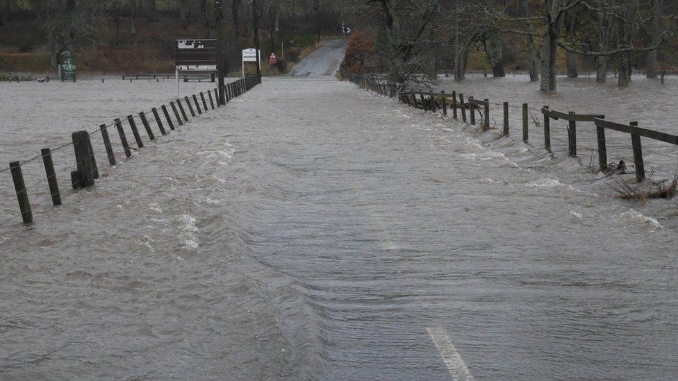
The road between Innerleithen and Traquair in Peeblesshire
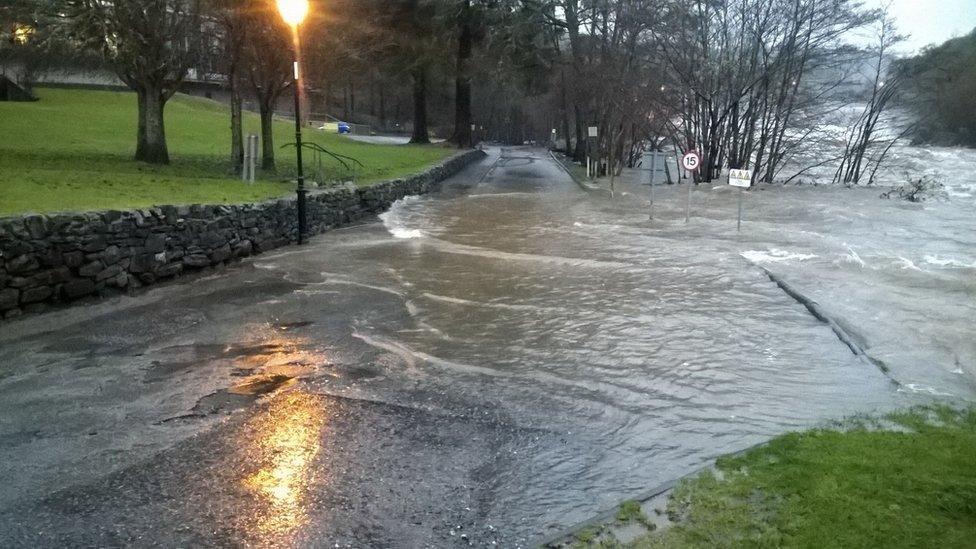
Port na Craig in Perth and Kinross
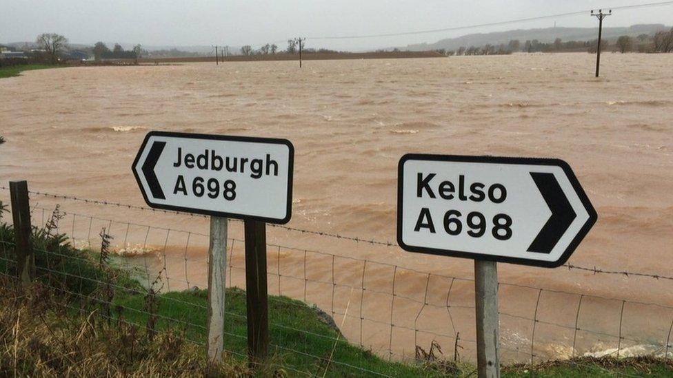
The River Teviot near to Eckford
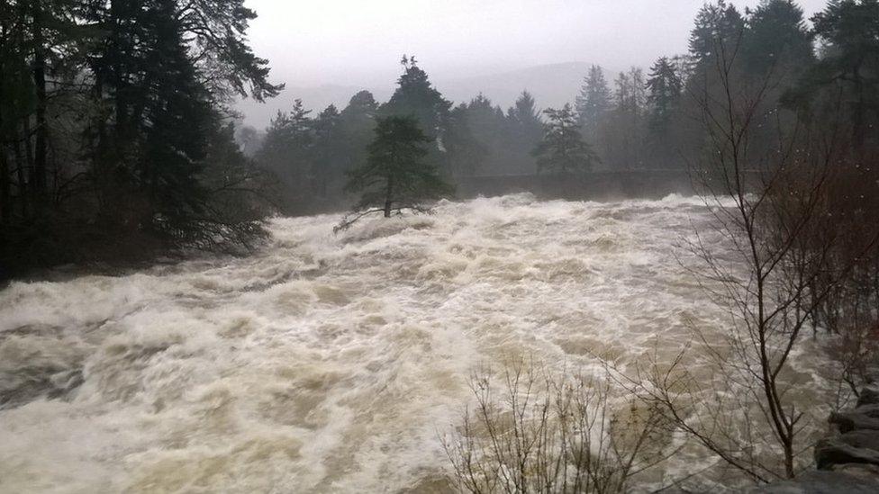
The Falls of Dochart in Killin in full flow
The bad weather has also hit rail travel, with services between Glasgow/Edinburgh and Inverness cancelled after flooding on the Perth to Inverness line.
And Virgin, ScotRail and First Transpennine have all suspended train services between Glasgow and Carlisle.
Find updates about travel problems on the Traffic Scotland website, external and keep up to date with our Severe Weather Twitter list, external.
However, Nigel Goody, from the Scottish Environment Protection Agency, said the weather situation was improving.
He said: "The heavy rain which we've had overnight, over the last 48 hours really, is now dissipating. And the river levels are responding accordingly.
"However, I would say that the danger is not over yet. River levels continue to be high, and in some areas unprecedentedly so.
"So the public should be vigilant and should certainly not approach rivers in these conditions."
Met Office weather warnings which had been in place throughout Saturday have now all been lifted.
Live flood warnings from the Environment Agency and the Scottish Environment Protection Agency.
Tap here, external for the interactive flood map.

Note: the Environment Agency and the Scottish Environment Protection Agency display their flood alert data differently. While the Environment Agency highlights individual rivers only, in Scotland the entire region is coloured to indicate the level of alert.
This map and flood alert data are supplied to the BBC by third parties. The BBC is not responsible for its accuracy and you use it at your own risk.

- Published5 December 2015

- Published6 December 2015
