More flooding expected in parts of Scotland
- Published
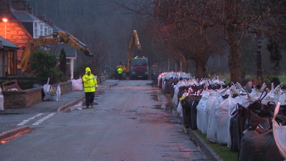
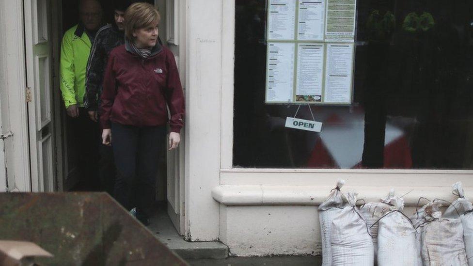
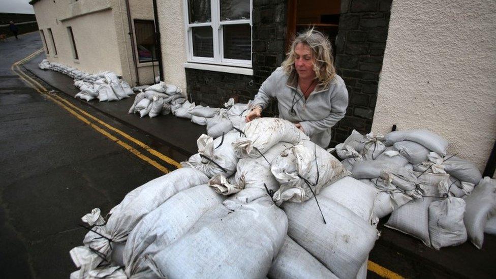
Sandbags have been put out in Ballater ready for expected floods
More flooding is expected in parts of Scotland as the country continues to clean up after Storm Frank.
The Met Office has issued amber "be prepared" warnings, external of rain for much of north east and central Scotland on Saturday and Sunday.
The areas were among the worst affected by Storm Frank on Wednesday.
The Scottish Environment Protection Agency (Sepa) currently has 23 flood warnings in place, external, mostly for the Tayside area, and three flood alerts.
The amber alert covers Grampian, Tayside, central Scotland and Fife from noon on Saturday until 15:00 on Monday.
Sepa said flooding was expected later on Saturday and on Sunday.
Phone lines down
A cable damaged by Storm Frank has led to the loss of the telephone service, including 999 calls, in Braemar and Crathie.
Work was being carried out to repair the cable and BT and the Red Cross were providing temporary cover through communication vehicles in those areas.
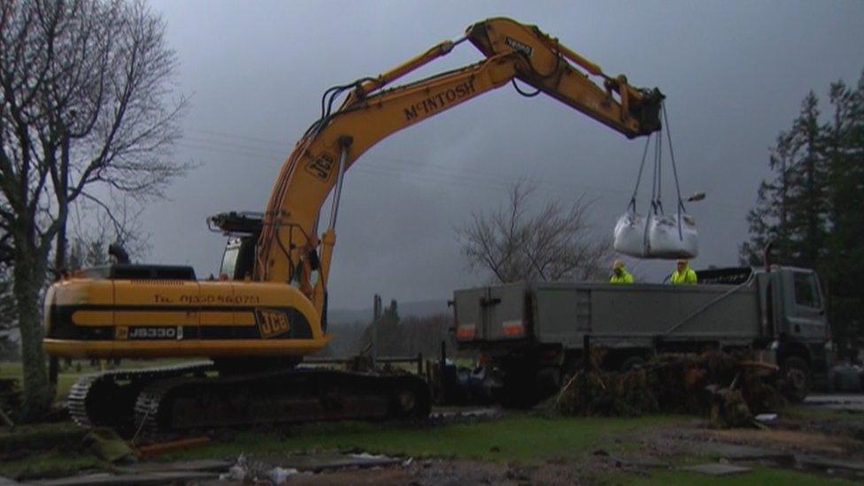
The vehicle in Braemar was set up in the square in Marr Road and in Crathie the cover was provided in the main car park near the church.
Ch Insp Richard Craig said: "Police are continuing to visit vulnerable people in Braemar, Crathie and Ballater and have officers within Braemar Police Station.
"Anyone requiring the emergency services is advised to speak to an officer at the police station or utilise the communication vehicles.
"We will continue to have officers patrolling in these areas and maintain contact with vulnerable people until the telephone lines have been fixed."
'Real concerns'
Vincent Fitzsimons, from Sepa, said: "Unfortunately we are expecting flooding in north eastern areas of Scotland. That's property flooding and damage to infrastructure and utilities.
"The rivers in the north east are just beginning to respond but it's important to emphasise we are not expecting flooding until later on Saturday, from Saturday afternoon, and most rivers are not predicted to peak in that area until Sunday."
Police are advising people to stay away from already flooded areas.
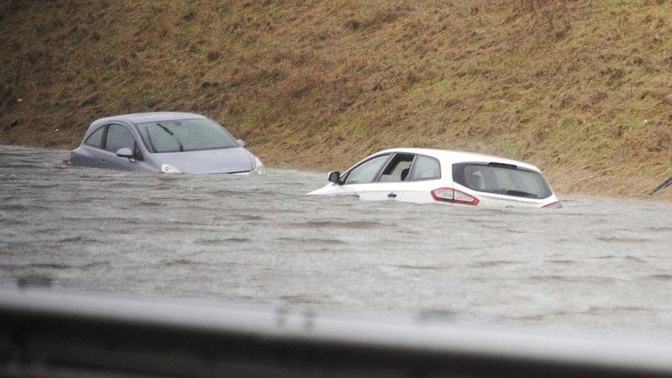
Flooding caused problems across the country on Wednesday
Due to the weather warnings, Aberdeen City Council has closed Duthie Park car park to vehicles and people have been asked to park vehicles away from areas near rivers.
The A93 between Ballater and Braemar remains closed after part of the road was washed away and the Invercauld Bridge is expected to remain closed to vehicles for a number of weeks.
Aberdeenshire Council is working to return residents to their homes in Ballater after they became flooded.
Police have warned people who are thinking of going out on rivers that water levels remain high in some areas and it is likely that debris from the recent flooding is still in the water.
Ch Insp Richard Craig said: "We are continuing to work with other agencies following the impact of Storm Frank across the Grampian region, particularly in Ballater, Crathie and Braemar and are also preparing for further rain and potential flooding.
"Due to the warnings in place, we are asking people to stay away from rivers and already flooded areas so you don't put yourself in danger or place further burden on communities that have been impacted by the flooding."
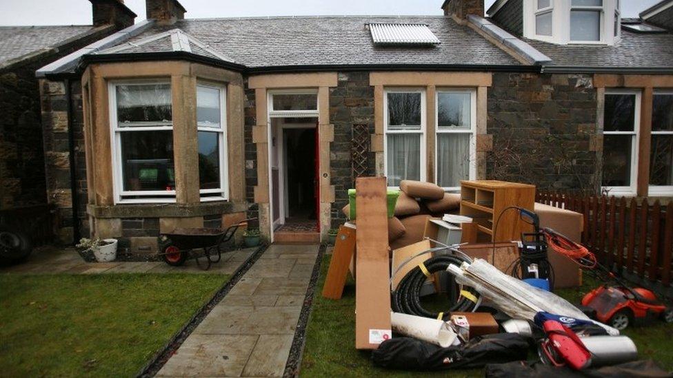
The clean-up operation is ongoing in areas hit by Wednesday's floods
He added: "Additionally, we are advising people to park their vehicles away from areas close to rivers and to park on higher ground where possible.
"We also ask that motorists do not ignore road closure signs and avoid driving through flood water as there will be unseen dangers, including lifted man-hole covers.
"The closures are there for a reason and are to protect your safety. By ignoring these closures you put yourself at risk as well as the emergency services."
Aberdeenshire Council's duty emergency response co-ordinator Ritchie Johnson said: "A concerted effort is taking place to respond to the weather situation in Deeside and across Aberdeenshire in light of warnings in place from Sepa and the Met Office and working closely with partners, colleagues and the community.
"There are access issues into Braemar and we are working with Police Scotland and neighbouring authorities to ensure access south remains in place with the aim of protecting the road.
"We are also working on remedial action across the area with sandbags and floodgates being issued to protect roads and properties as well as preparing responses to any rising river levels across Aberdeenshire."
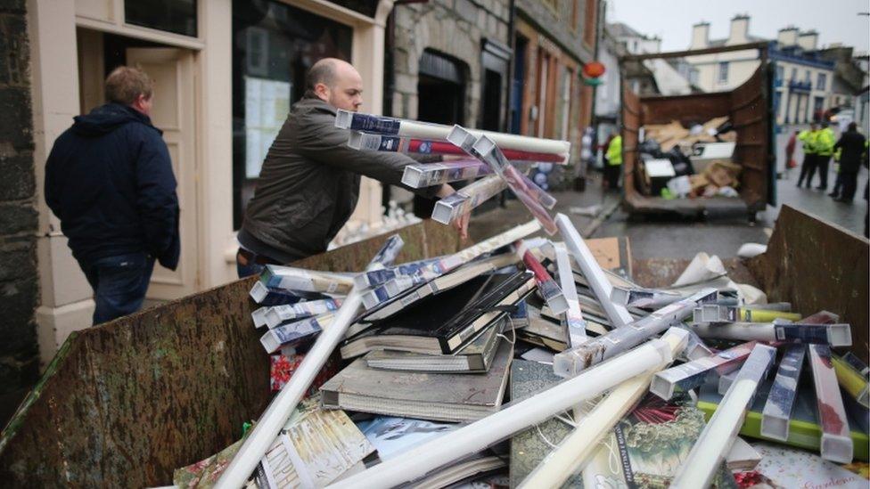
Newton Stewart in Dumfries and Galloway was among the places worst affected by Storm Frank on Wednesday
First Minister Nicola Sturgeon attended a meeting of the Scottish government's resilience committee on Saturday to be updated on the latest weather forecasts.
Environment Minister Aileen McLeod said: "Although the current weather situation does not appear to be as serious as Storm Frank, it is nevertheless a worrying time for people who live in areas at risk from flooding.
"We remain vigilant to the ongoing risks.
"Scottish government ministers and officials are in constant contact with emergency services and other relevant agencies.
"We will ensure that everything possible is done to support the affected communities and that people and businesses are as prepared as they can be."
River deaths
Two people have died in separate incidents in fast-flowing rivers in northern Scotland since the storm hit.
Police said the body of a kayaker missing during the storms had been recovered from the River Findhorn in Moray.
And a 36-year-old canoeist died after falling into the River Garry near Invergarry, south of Loch Ness, on Thursday afternoon.
The Met Office said the rain over the weekend was "not expected to be as intense as recently", but warned that some areas of Scotland could see as much as 20cm (8in) over the weekend and into Monday.
It added: "Given the saturated nature of the ground there is a greater risk of surface water and river flooding that might normally be expected.
"Be prepared for the likelihood of both surface and river flooding, as well as some local disruption to transport."
The Met Office has also warned of gale or severe gale force south-easterly winds which are likely to result in stormy seas and coastal overtopping along the east coast and in the Northern Isles.
Wednesday's heavy rain and gale-force winds left many people stranded, in temporary accommodation and without electricity, and also prompted the most severe "danger to life" flood warnings to be issued.
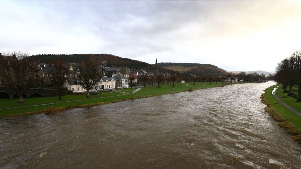
The River Tweed at Peebles was still very swollen on Thursday
- Published31 December 2015
- Published31 December 2015
