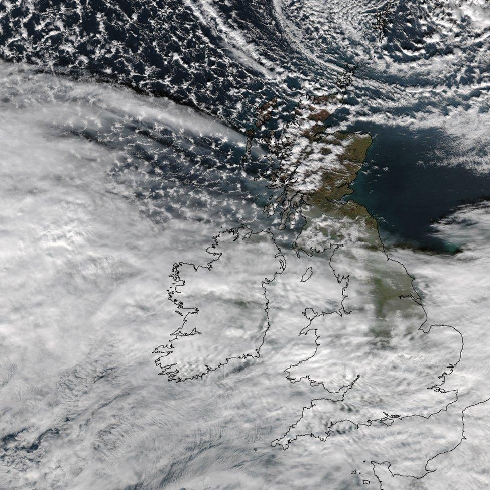
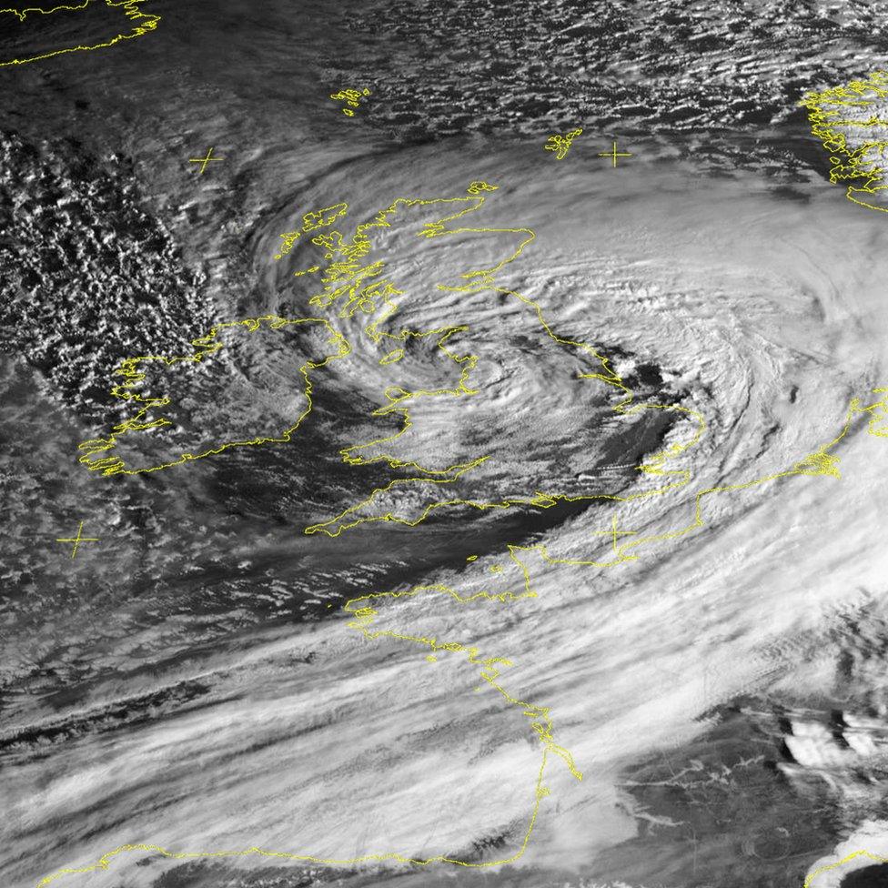
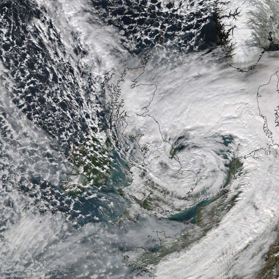
How Storm Doris looked from space
- Published
Stunning images of Storm Doris have been captured by the University of Dundee.

Satellite images showed the development of Storm Doris as she swept across the United Kingdom

The sequence of shots was gathered by the the University of Dundee Satellite Receiving Station on Wednesday and Thursday

The images show how things changed in the course of 24 hours, bringing widespread snow, severe winds and disruption
Related internet links
The BBC is not responsible for the content of external sites.