Hogmanay event will go ahead in full despite storm
- Published

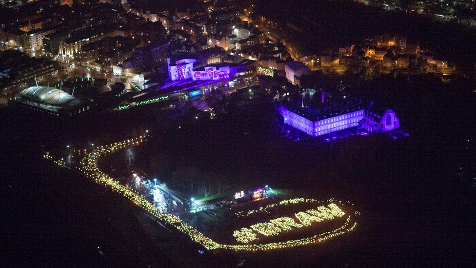
Torchbearers spelling out "braw" as Edinburgh"s Hogmanay festival opened on Saturday with an "iconic" torchlight procession
Edinburgh's Hogmanay organisers say they expect the event not to be affected by Storm Dylan.
Strong winds have started to batter parts of Scotland - with some ferry sailings affected, and high wind warnings in place on some bridges.
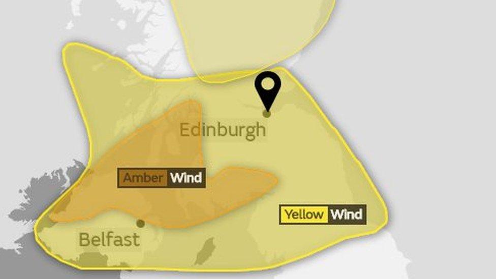
The Met Office issued an amber warning for wind for Argyll, Ayrshire and much of Dumfries and Galloway from 04:00 to 13:00 on Sunday.
It highlighted "potential for injuries and danger to life from flying debris".
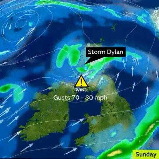
The storm moved in from Northern Ireland overnight and was due to subside on Sunday afternoon.
There were reports of trees blown down on roads in some parts of the country, including on Barrhead Road in Glasgow, in Lochgilphead and in Stranraer. There were no injuries reported.

The strong winds will travel in from Northern Ireland
As festivities to mark the New Year got under way in Edinburgh, a torchlight procession took place in on Saturday evening, with the famous street party and Princes Street Gardens concert starring Rag'n'Bone Man happening late on Sunday.
Torchbearers also marked the start of Scotland's Year of Young People spelling out "braw" which has been chosen by youngsters as the word which describes why they are proud to live in Scotland.
In Edinburgh and parts of the Central, Tayside and Fife regions, a yellow "be aware" warning is in place from 02:00 until 15:00 on Sunday.
Organisers said Edinburgh's event would go ahead in full, with any severe weather due to happen before Sunday night's celebrations began.
'Specific forecast'
A spokeswoman for Underbelly, the organisers of the Scottish capital's Hogmanay celebrations, said: "Edinburgh's Hogmanay is, as always, in constant contact with the Met Office, receiving regular forecast updates specific to Edinburgh.
"Forecasters are predicting that Storm Dylan will hit Scotland's central belt between 12 midnight and 3pm on the 31st, happening after the torchlight procession on the 30th and passing before the Hogmanay celebrations on the 31st.
"The specific forecast produced for the Hogmanay celebrations by the Met Office considers all the latest data and provides the most likely scenario for Edinburgh City itself through which we are reassured that the planned events and preparations will not be affected and that the celebrations will go ahead in full."
More than 150,000 revellers are expected in the Scottish capital for the event.

Gusts of up to 80mph are expected on Sunday
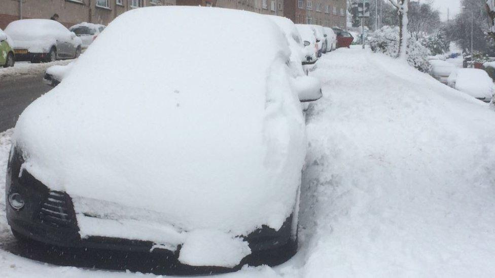
Separately, a yellow warning for ice is currently in place for much of the north of Scotland, lasting until late on Sunday morning.
Transport Minister Humza Yousaf said: "Gusts of 55-65mph are expected quite widely, with some reaching up to 80mph in the worst affected areas.
"It's highly likely that these conditions will cause disruption to transport and it's important people take the weather into account if they are planning to travel by road, train, ferry and air.
"There is potential for debris on the trunk road network, as well as bridge restrictions, so drivers should check the most up-to-date information before they start their journey, drive to the conditions and follow police advice."
Large waves in coastal areas were also expected during the storm and there are warnings about the chance of bridge closures and power cuts.

- Published29 December 2017
