Historic map of Scotland to go under the hammer
- Published

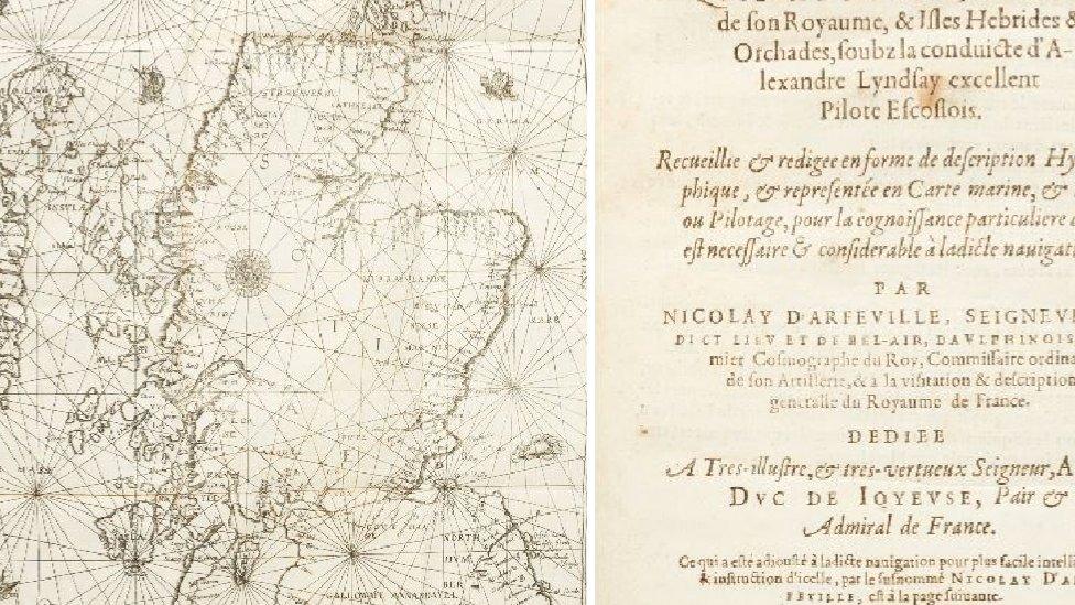
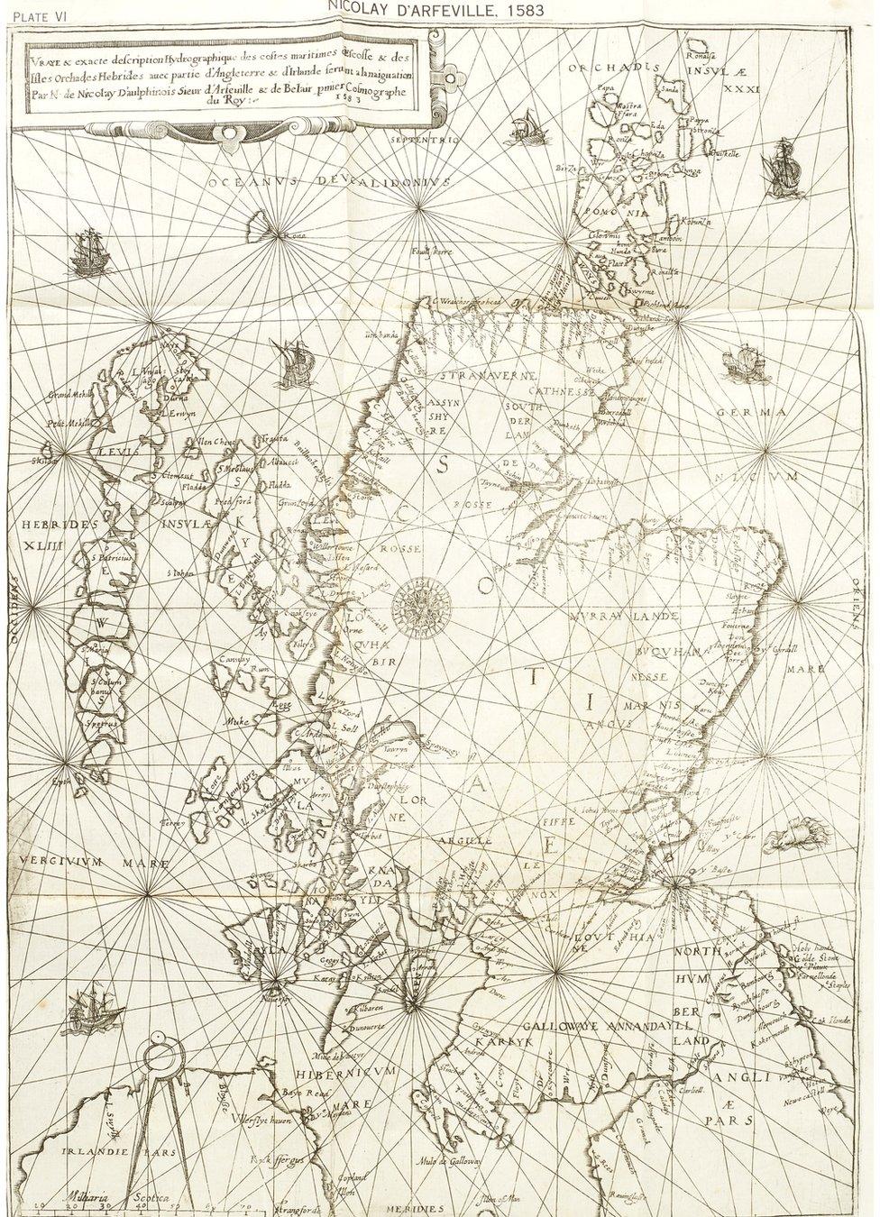
A map - claimed to be the oldest accurate chart of Scotland - is to be auctioned off in Edinburgh.
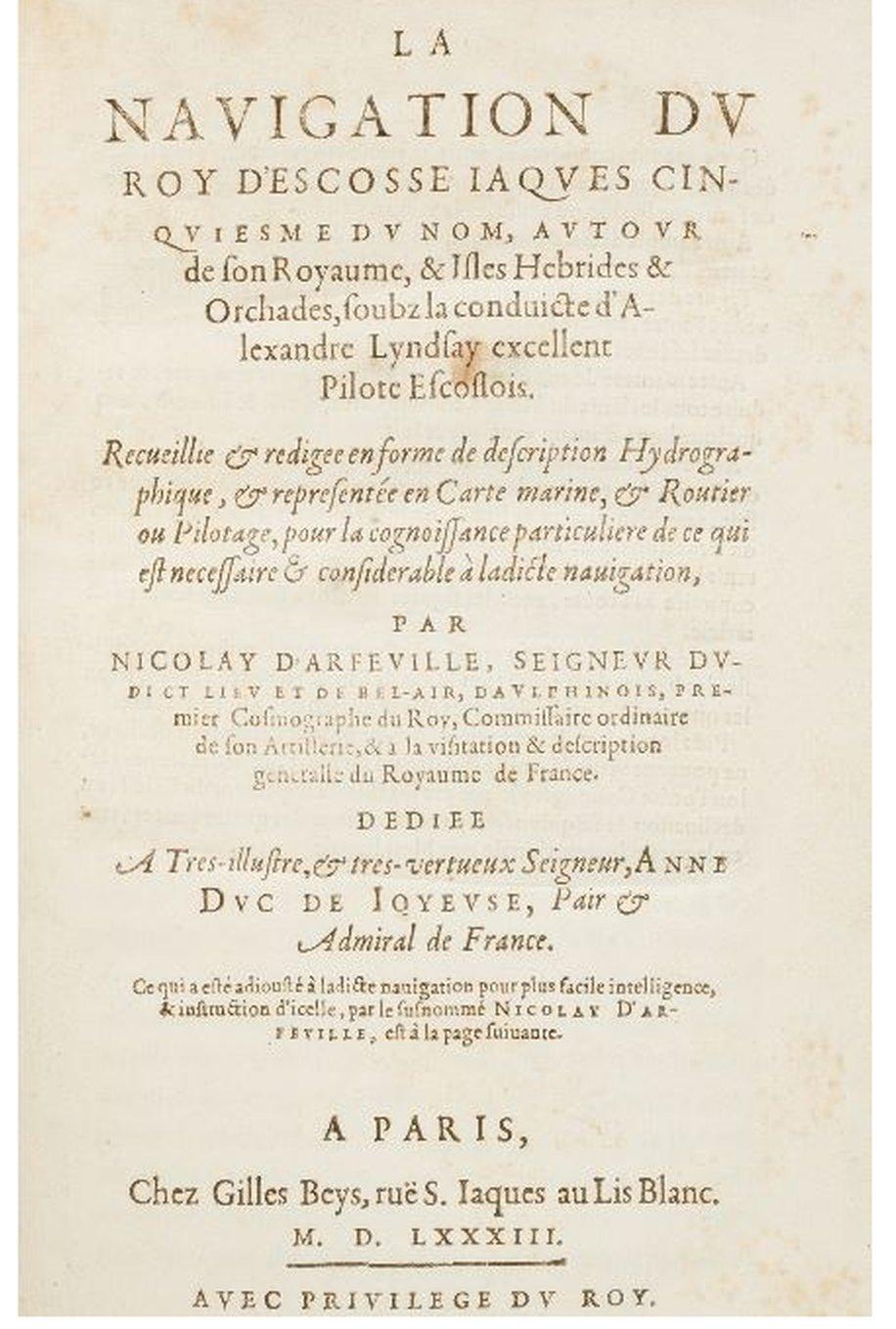
The historic document, known as The Nicolay Rutter, is said to have been drawn up from the voyage taken by King James V around Scotland in 1540.
It is acknowledged as being far more accurate than later 17th Century maps.
The item is expected to fetch between £15,000 and £20,000 because of its importance to map-making and political history.
The map has attracted interest from bidders from around the world.

The historic map of Scotland was drawn on a voyage taken by King James in 1540

Simon Vickers, a book specialist at auctioneer Lyon & Turnbull, said: "The rutter takes its name from the French word routier and is a set of sailing directions.
"Nicolay's map marks a huge step forward in the accuracy of cartography, not only is the shape of Scotland instantly recognisable, it is much more accurate than the later Gordon Blaeu map of 1654 and the Moll map of 1714."
The true originator of the work was Alexander Lyndsay, although it was a French map maker named Nicolas de Nicolay who copied it.

The map was copied by a French cartographer, Nicolas de Nicolay

The rutter was said to have been mysteriously obtained by the English and used by a French fleet to avenge the murder of Cardinal Beaton, the Archbishop of St Andrews.
St Andrews was the centre of the Church in Scotland and home to Cardinal Beaton. The cardinal was also the leader of the pro-French party and responsible for the execution of protestant preachers.
Henry VIII saw him as a threat to his policy in Scotland. In 1546, a group of assassins talked their way into St Andrews castle and murdered Beaton.
The voyage of James V named on the title-page is that of 1540, when the King, with several nobles, set out to subdue the unruly Lords of the Western Isles.
The king visited Orkney, Skye, Lewis, Ross and Kintail and continued by sea to Dumbarton, where he left his fleet and rode back to Edinburgh.
Alexander Lyndsay was the pilot, and Nicolay credits him with having compiled the rutter by command of the king.
The guide, drawn from Lyndsay's experience - and from material gathered from other sources - starts from Leith as the expedition did, and gives the route that James's fleet followed.
Lyndsay's rutter is typical as a guide to coastal waters before detailed charts and sophisticated instruments came into use. It contains nearly 200 items of information and advice about tides, courses and havens, soundings and hazards.
The map will be auctioned in a sale of rare maps and photographs on Wednesday 19 February.
All images are subject to copyright.