Blanket of snow and travel disruption forecast across Scotland
- Published
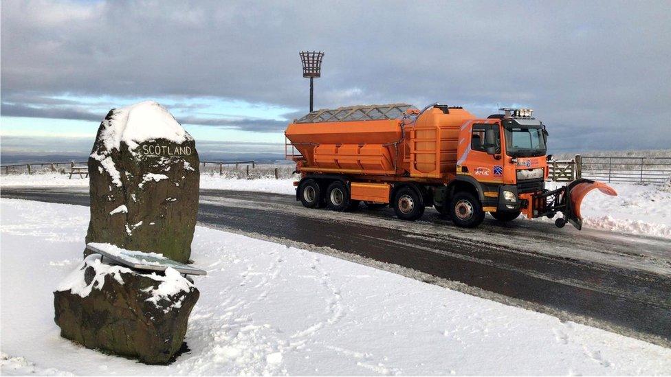
Areas across Scotland have already seen thin blankets of snow overnight on Tuesday
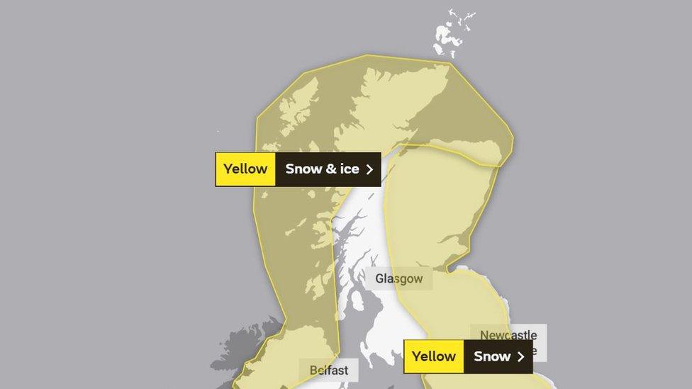
A yellow weather warning for snow is in place for all areas of the country from 18:00 on Wednesday, with travel disruption predicted.
It comes after the Met Office said a low of -10C was recorded at Dalwhinnie in the Highlands, making it the joint coldest recorded during 2020.
Showers are likely to move south and east with snow lying up to 3cm (1.2ins) in areas below 200 metres (656ft).
Forecasters said snow at low levels would quickly turn to rain on Thursday.
Areas across the country have already seen thin layers of snow overnight, with a yellow warning for snow and ice currently in place for Strathclyde, Grampian, and the Highlands and Islands.

A lone snowman in Edinburgh taken by Nick Burton
The Met Office said: "Ice will form readily as temperatures fall away rapidly through both Tuesday and Wednesday evenings.
"Snow at low levels will quickly turn to rain across Scotland during early Thursday, becoming confined to ground above 500 metres.
"It will also steadily turn to rain at lower levels further south through the rest of the day whilst petering out."

Motherwell at sunrise on Tuesday
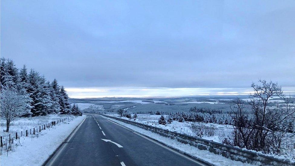
Ashley Mason sent in this image of a quiet route at Carter Bar at the Scottish Border
Travel disruption is expected over the next two days as some roads and railways are "likely" to be affected.
Some higher routes across Scotland may briefly become impassable early on Thursday morning, the Met Office said.
Traffic Scotland have advised commuters to plan ahead and travel with caution, while ScotRail have reminded passengers to travel "only if essential" in line with level four coronavirus restrictions.
Bear Scotland said their gritter teams had been working "round the clock" to clear roads.
Allow X content?
This article contains content provided by X. We ask for your permission before anything is loaded, as they may be using cookies and other technologies. You may want to read X’s cookie policy, external and privacy policy, external before accepting. To view this content choose ‘accept and continue’.