The 'map nerds' who are building a national archive
- Published
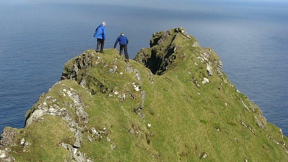
Geograph volunteers have captured many of Britain's remotest locations, such as St Kilda
When Anne Burgess isn't skiing or flying a glider, you are likely to find her roaming around some of Scotland's remotest locations, camera and map in hand.
The retired tourism officer from Fochabers in Moray is one of an army of volunteers whose mission is to capture and document rural and urban locations and share free-to-use images with the public.
They form a unique online community project called Geograph, external, a charity which aims to collect "geographically representative" photographs and information about every square kilometre of Britain and Ireland.
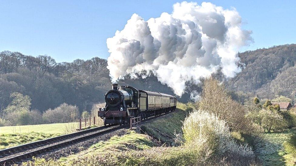
A steam train pictured in Worcestershire
Since 2005, more than 13,000 contributors have submitted seven million pictures covering 281,000 Ordnance Survey (OS) grid squares.
They include landmarks, landscapes and urban environments - everything from cemeteries and castles to monuments and old factories - even motorways, railways and dilapidated housing estates.
Many of the volunteers, including Anne, happily describe themselves as "map nerds", poring over OS maps in order to find new and tough-to-reach locations.
But photography is also an essential part of the project.
Anne says in the past 16 years, she has submitted more than 40,000 images to the Geograph website.
"I've been taking photos all my life," she says. "There are so many wonderful places around Scotland and you can find plenty of interesting things to photograph almost anywhere."
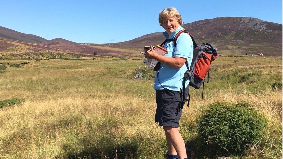
Anne Burgess has submitted tens of thousands of pictures to the Geograph website
There's a competitive element to the process too, as contributors earn points (but not prizes) for their efforts. The highest number of points are awarded to those who find grid squares which have never been covered.
Each member of the Geograph family has his or her own reason for being part of the project.
Devon-based journalist Lewis Clarke says he likes "to document history and changes in the landscape".
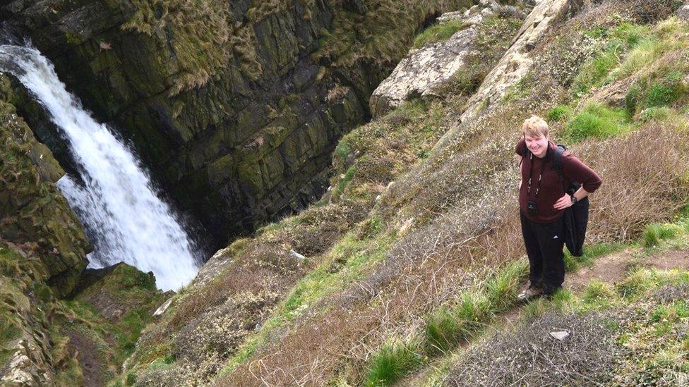
Lewis Clarke is pictured out and about on his quest to chase grid squares for the Geograph site
Since 2009, he's uploaded more than 80,000 images, ranging from the M5 motorway to rolling countryside and city scenes. He's even captured a number of fires and floods during his time.
"Geograph is definitely not a collection of pretty photos - albeit there are many photos uploaded which are very impressive - but it is a place to record history.
"I enjoy taking photos for future generations, of places which will soon become developed and construction sites."
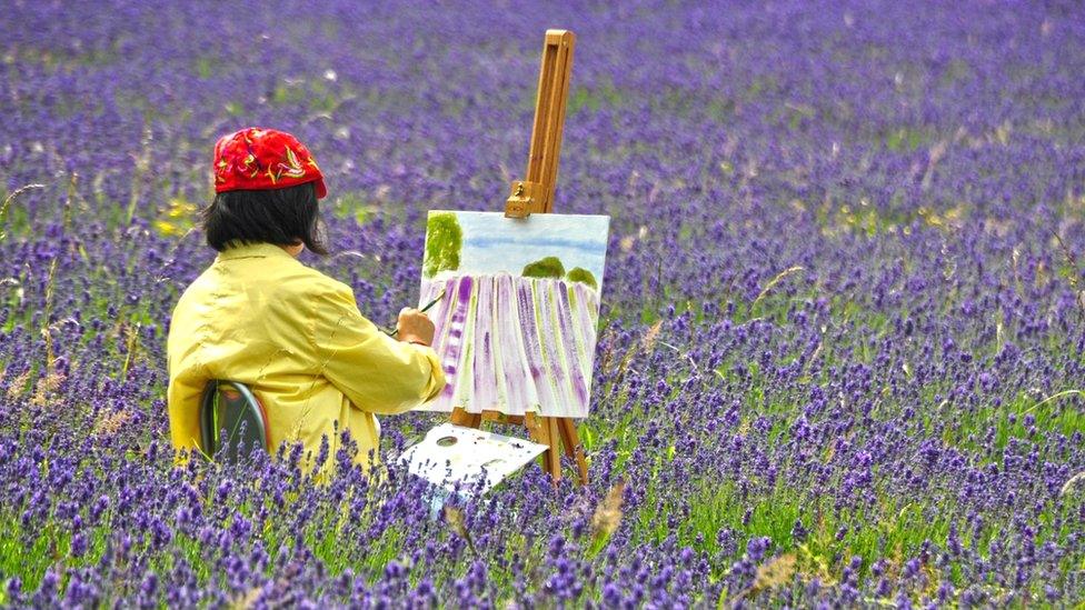
Lewis Clarke took this image of the Mayfield lavender fields in Surrey
He adds: "I've had people get in touch from across the globe asking if they can use images of mine in textbooks, for displays, in media online, and most recently on an episode of the BBC's Saving Lives at Sea.
"In my mind, it proves that every image you take may have some use to somebody somewhere, even if you're never quite sure what it is at the time."
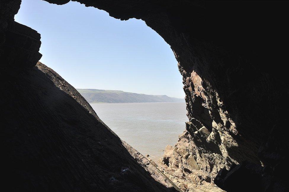
The Hurlstone Point Gull Hole in Somerset
Lewis admits that he gets some stick from family and friends for his hobby.
"My mum compares my obsession with trying to grab (grid) squares as nerdy, and akin to trainspotting.
"When in Germany taking photos out of a car windscreen for the German equivalent site, my friend had to explain to our international friends that I was doing it because 'I was a bit weird'."
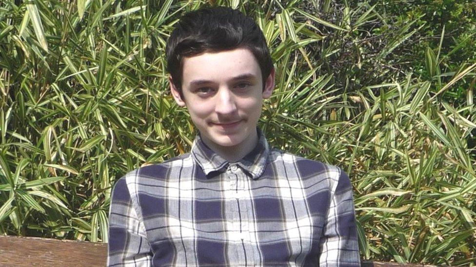
Fabian Musto says Geograph has helped him deal with autism and social anxiety
Fabian Musto, who joined four years ago at the age of 13, says Geograph has brought him a sense of contentment.
"Geograph has helped me deal with autism and social anxiety, since walking in tranquil countryside places makes me feel at ease as I find it difficult to cope in loud and busy environments," the Herefordshire resident explains.
"After completing a walk in the countryside or a trip to castles and churches, I feel happy to look back on my photographs and treasure memories of the visits for a long time."
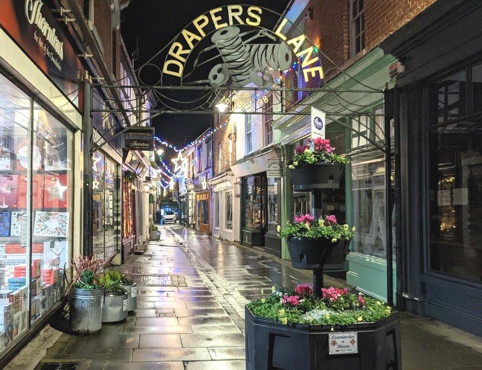
A shopping precinct in Leominster
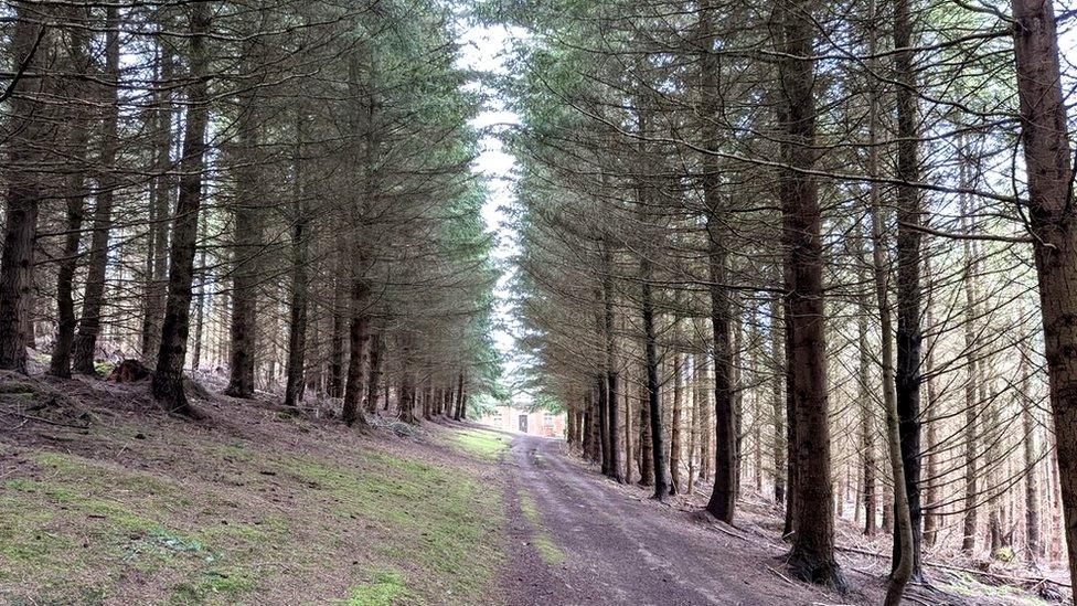
An avenue to an Elan Valley aqueduct in Herefordshire
Chemistry teacher Richard Webb, a Geograph veteran, says anyone joining the project would be contributing to a national archive and helping to provide a major resource, especially for education.
"Geography covers a lot of things and overlaps with our courses in many ways - agriculture, petrochemicals, industrial planning, the environment," he says.
"It is a particularly good resource when covering other subjects. Usually you can find relevant and often local images quickly for any subject."
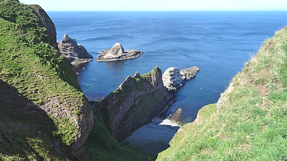
A stunning view of Green Kaims in Aberdeenshire
Scotland-based Richard, who acts as a moderator of the Geograph site, says contributors share certain things in common, including an enjoyment of the outdoors lifestyle - and a love of maps.
"Almost all contributors are into maps in some way. You have to be comfortable with the national grid and reading maps to find contributing easy, which explains why it is a bit of a niche activity.
"However technology has made that aspect a lot less daunting."
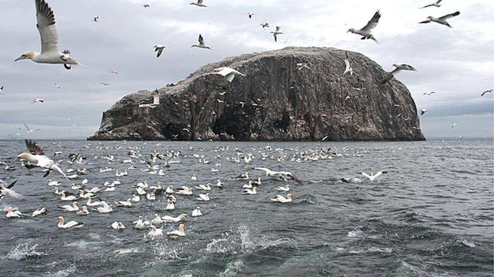
Gannets seen flying around the Bass Rock in the Firth of Forth
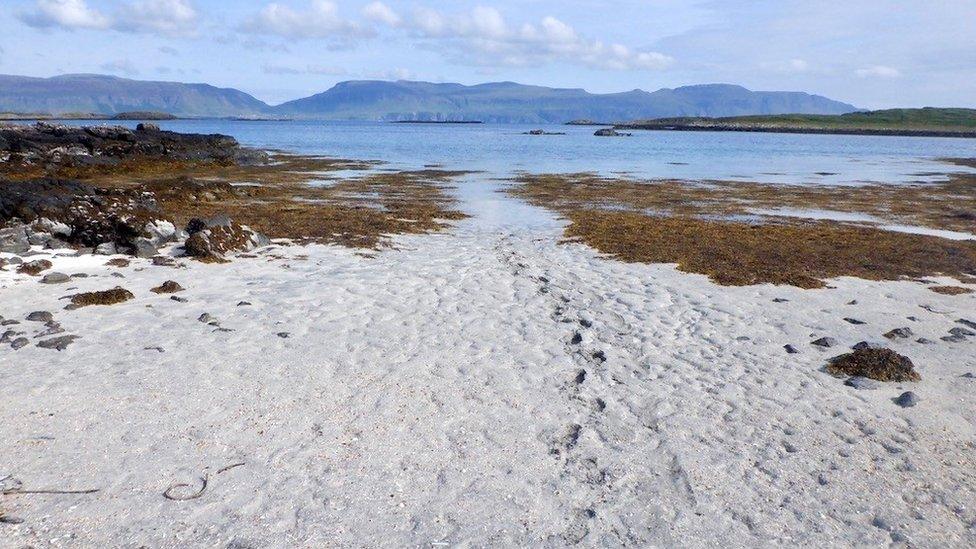
A beach on Ulva in the Inner Hebrides
Richard is among the most travelled of the Geograph community, having visited sites as far apart as the Bass Rock in the Firth of Forth, Foula in the Shetland islands, County Mayo in Ireland and "the far flung corners of England while travelling to cross-channel ferries".
He adds: "Mostly my pictures are taken in places where I would be anyway doing outdoor stuff - hills, wilder places and the coast - especially islands.
"When I go out deliberately to take photos, I am usually drawn to urban and industrial areas where there are so many interesting subjects."
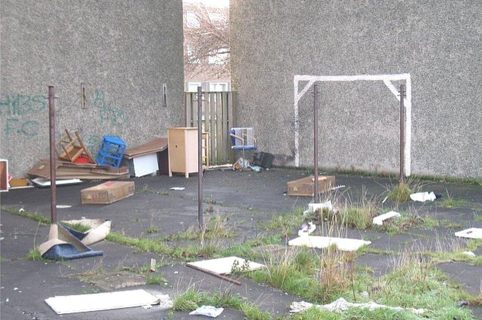
Richard Webb has documented housing estates, including flats at Greendykes in Edinburgh before they were demolished
Geograph has so far mapped about 85% of Britain and Ireland's grid squares - some many times over the years - although there are places that have proved to be inaccessible, such as military sites.
Richard explains: "I don't think there are any uncrackable grid squares.
"I have managed a fair few awkward ones myself. Frustratingly enough, I have visited several undocumented squares at Porton Down but was not allowed to photograph them.
"Surely someone on the inside could send in a close-cropped bit of rabbit-mown grassland to us without any security implications?"
He adds: "Most of the remaining unvisited squares are reasonably accessible - it just requires commitment to travel to them."
Anyone interested in submitting a photograph to the Geograph website can find out more information by clicking here, external.