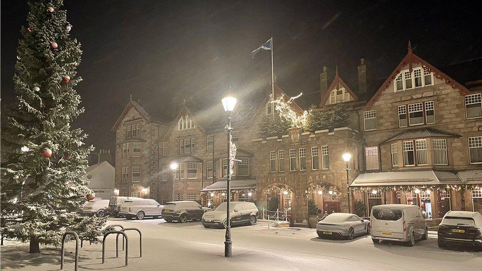
White Christmas forecast for Scotland as weather warning issued
- Published

It could be a white Christmas for many Scots after a winter weather warning was issued.
The Met Office yellow alert for snow and ice is from 21:00 on Christmas Day until 18:00 on Boxing Day.
Up to 10cm (4in) of snow is expected on higher ground, with blustery snow showers forecast.
The warning covers Aberdeenshire, Moray, Perth and Kinross, Stirling, the Highlands and large swathes of west and central Scotland.
Last year was declared a white Christmas after snow fell in Braemar and Aboyne in Aberdeenshire, Strathallan in Perthshire and across Shetland.
The year before was also technically a white Christmas, with 6% of weather stations reporting some snow falling in 2020 but in most places it did not lie on the ground.
On Friday, the Met Office said: "Strengthening west-northwesterly winds will bring increasingly frequent wintry showers to the west of Scotland through Sunday night and into Monday morning.
"These may fall as snow to low levels for a time where temporary accumulations of 1-3cm are possible, with 5-10cm of snow over the hills. Icy surfaces will be an additional hazard.
Allow X content?
This article contains content provided by X. We ask for your permission before anything is loaded, as they may be using cookies and other technologies. You may want to read X’s cookie policy, external and privacy policy, external before accepting. To view this content choose ‘accept and continue’.
"Snow will become increasingly confined to higher ground through Monday morning, with a further 10cm or so possible by the end of the day.
"Strong to gale force winds bring the risk of drifting and blizzards for upland areas, with a small risk of isolated power outages as the snow and strong wind affects power lines."
The weather service said road and rail journeys could be affected as it warned of icy patches forming on roads, pavements and cycle paths.
In recent times, about half of Christmas Days have seen some snowfall recorded somewhere in the UK but the widespread coverings evoked by Dickensian Christmas scenes are now a rare event.
There has only been a widespread covering - where more than 40% of weather stations in the UK reported snow on the ground at 09:00 - four times since 1960, in 1981, 1995, 2009 and 2010, according to the Met Office.
Related topics
- Published25 December 2021
