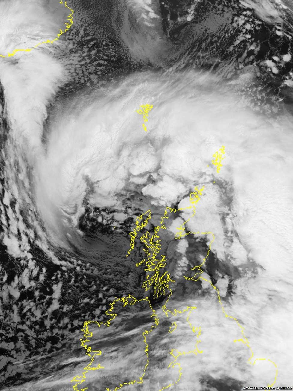
Satellite image captures UK storm
- Published

A satellite image received earlier by the University of Dundee
The deep area of low pressure responsible for bad weather affecting Scotland has been captured in a satellite image.
The University of Dundee received the image at 09:48 from the NOAA-16 satellite.
The low pressure came in from the Atlantic and continued to increase in energy as it headed towards Scotland's west coast.
It has led to significant winds and heavy rain.
You can find regular updates on the BBC News live page about the impact of the storm.
Related internet links
The BBC is not responsible for the content of external sites.