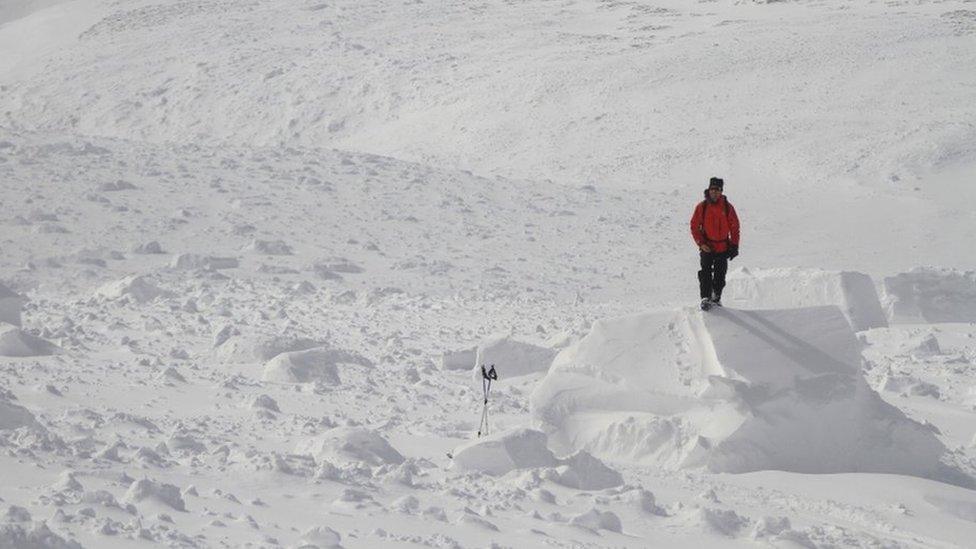
Cold mountains: Snapshots from avalanche team's latest season
- Published
The last avalanche forecast of the latest Sportscotland Avalanche Information Service (SAIS) season has been published.
From December to the middle of April, the organisation assesses the risk of snow slides in five areas - Creag Meagaidh, Glencoe, Lochaber, Northern Cairngorms and Southern Cairngorms.
This winter, Torridon was added on a trial basis.
The latest season recorded one of the highest numbers of avalanches in years. Following a record high last winter, there were no deaths caused by avalanches this time around.
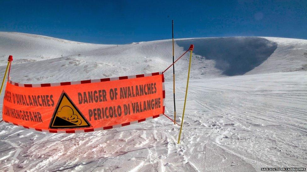
A warning to off piste skiers and snowboarders in the Southern Cairngorms.
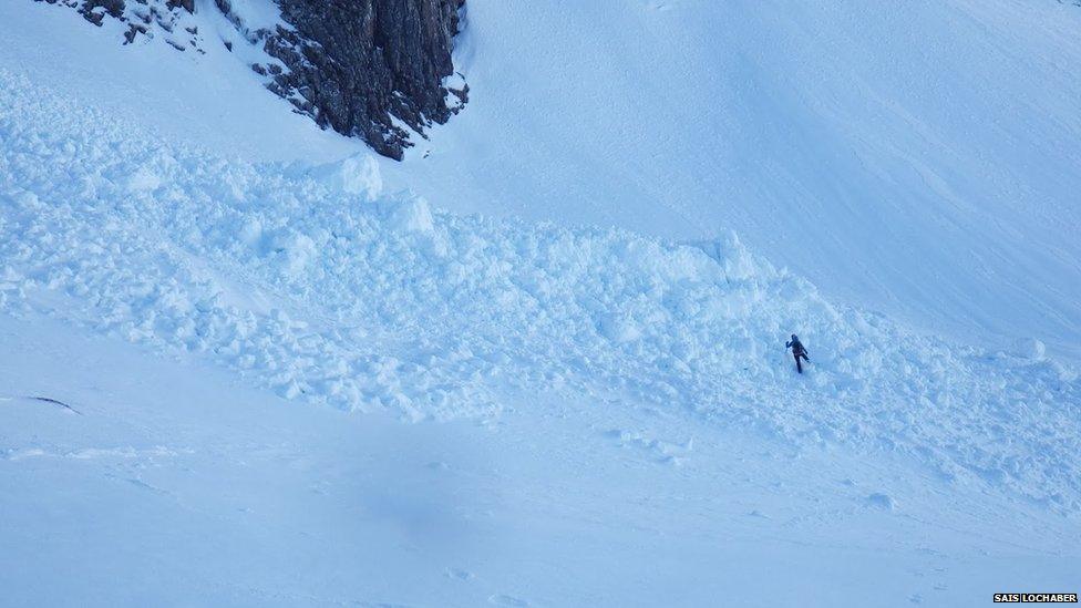
Initial figures suggest 350 avalanches were recorded by the SAIS. Service co-ordinator Mark Diggins said: "We have had more reported naturally-occurring avalanches this year than last, although this number is a guide only as many more avalanches may have taken place but not been recorded."
The higher rate of avalanches was largely due to continual stormy weather periods with significant snowfall above 600m (1,968ft) interspersed with sharp temperature rises, said Mr Diggins. He added: "Because of the significant amount of snow accumulation a number of these avalanches were very large and travelled long distances."
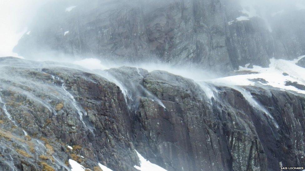
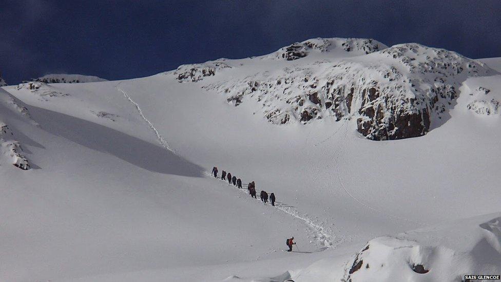
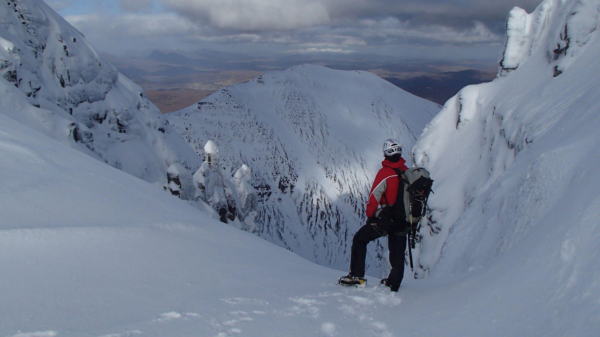
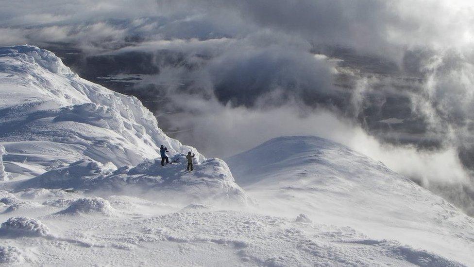
The stormy weather - particular frequent high winds that can be seen above blowing streams of water uphill in Lochaber - impacted on the numbers of people visiting Scotland's mountains this winter. Mr Diggins said: "It has been a frustrating winter for climbers, walkers, skiers and boarders, but many mountain goers have been aware of the heightened hazards this winter and have been more selective in what they do and where they go."
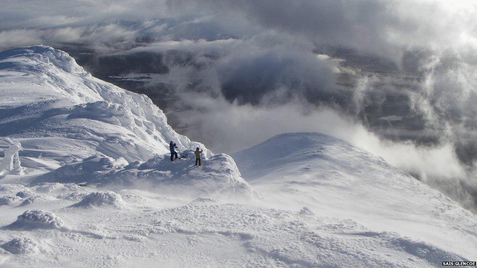
The latest SAIS season saw no avalanche-related fatalities, whereas avalanches caused the deaths of eight people during the 2012-13 season - the highest figure in years.
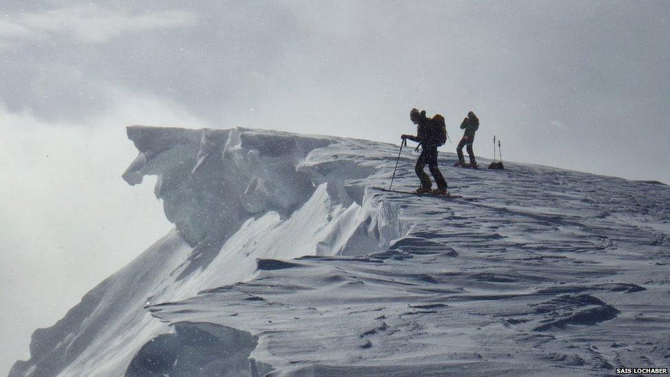
One of the greatest avalanche risks this winter was large overhanging edges of snow, called cornices.
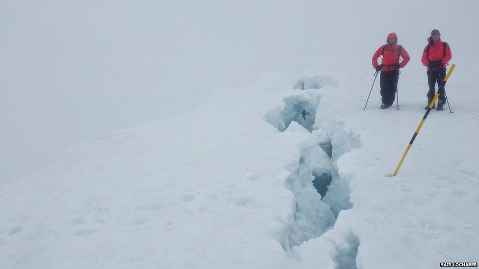
A crack in a large cornice documented by the SAIS Lochaber forecasting team. The overhangs are created by heavy snowfalls and persistent winds blowing in generally the same direction. Mr Diggins said: "In the Lochaber area, senior forecaster Graham Moss identified that we had twice as much snowfall than last winter."
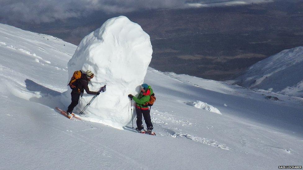
A lump of fallen cornice in Lochaber.
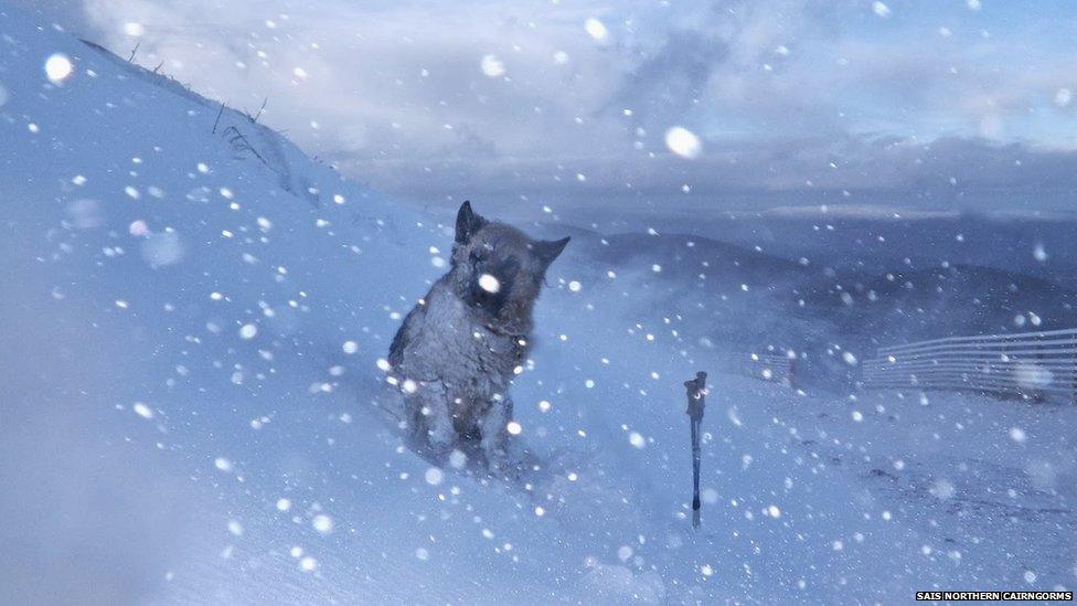
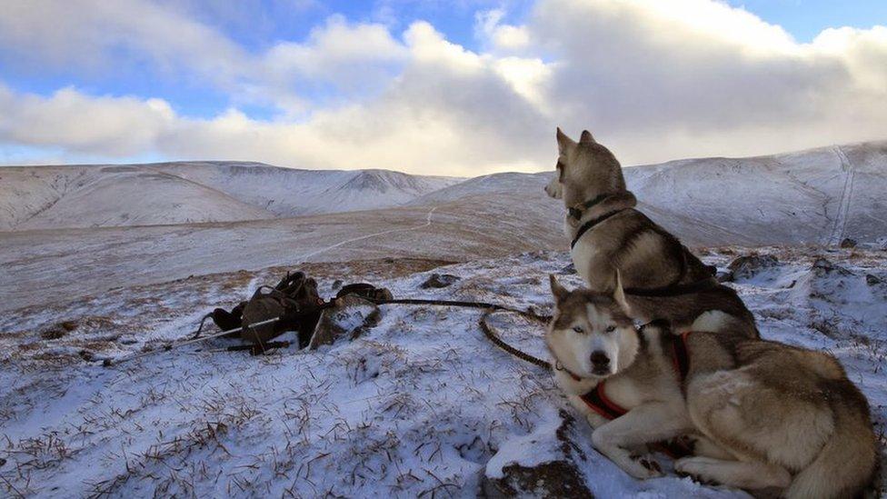
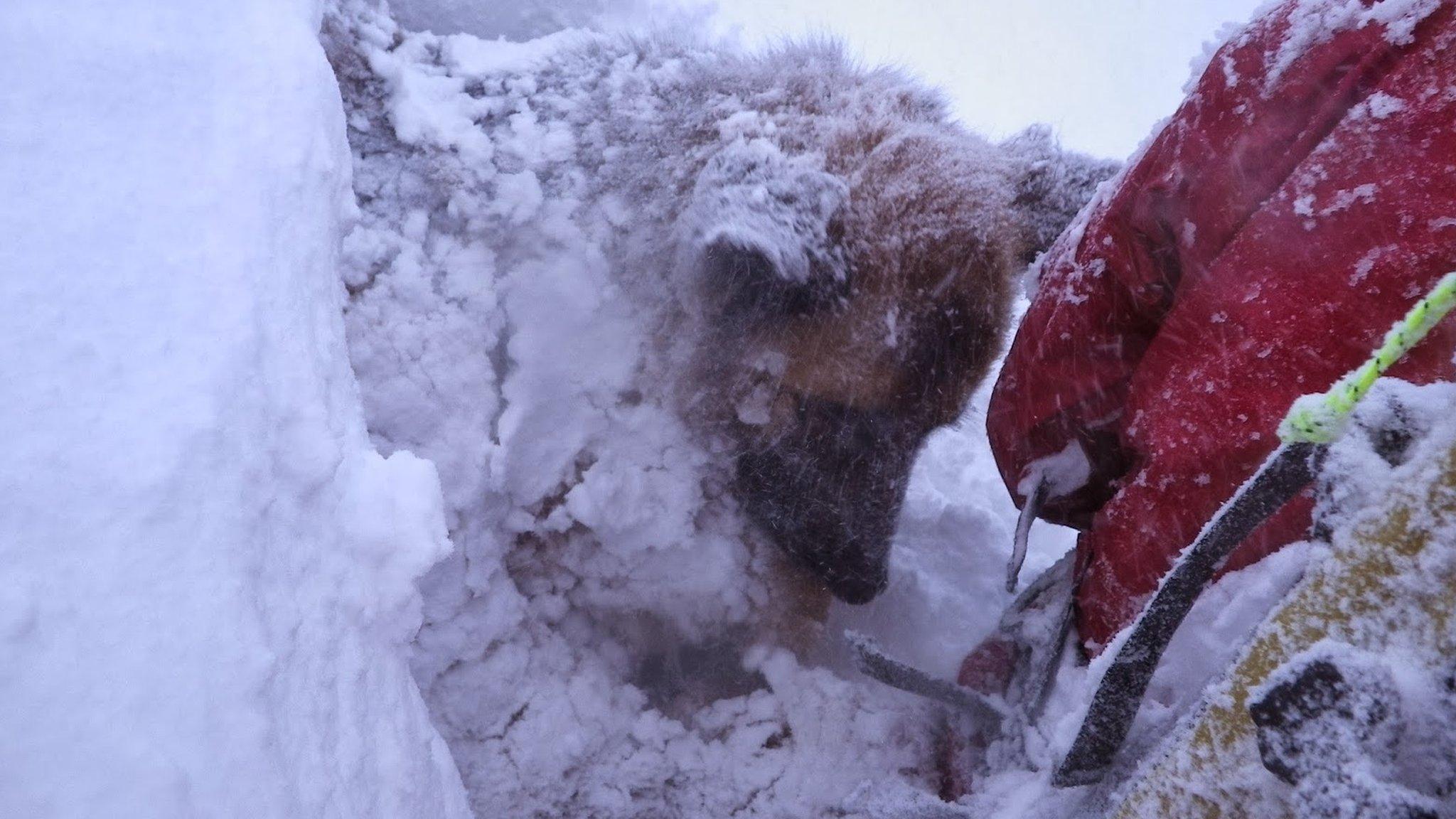
Several of the forecasters were accompanied by their dogs on avalanche risk assessments. The dogs also helped to illustrate the wintry conditions in images uploaded to the SAIS blogs.
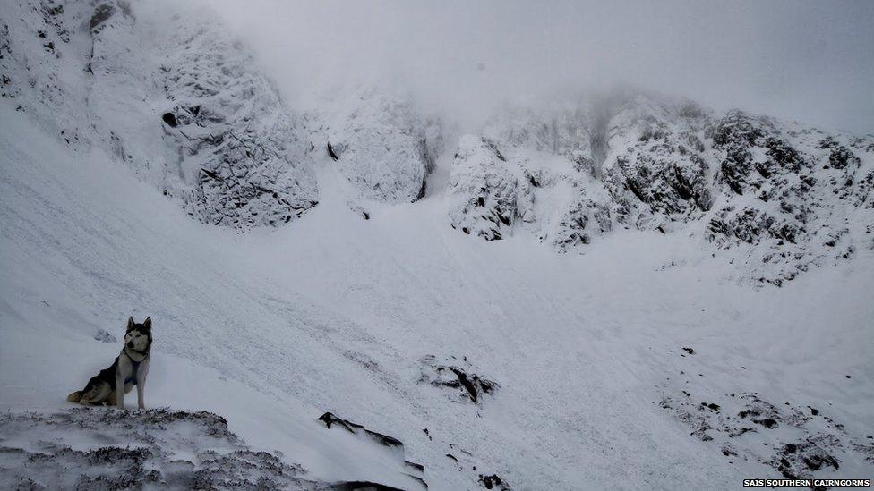
An "avalanche hound" at Lochnagar in the Southern Cairngorms.
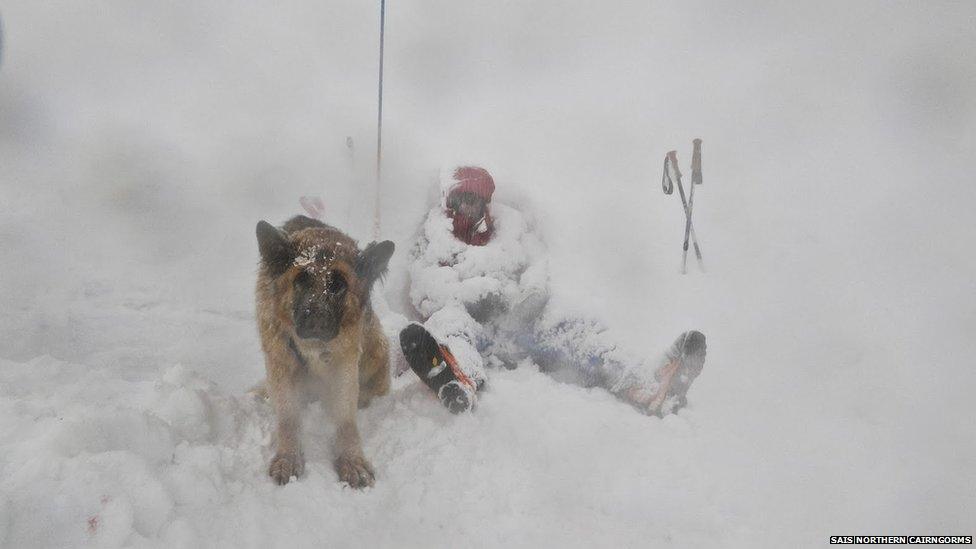
"The winter has been a challenging one for the SAIS forecaster team," said Mr Diggins. "Not only because of the strong winds and blizzards presenting physical challenges, but also the very dynamic weather systems presenting a continually changing snowpack situation which required considerable focus in producing the daily avalanche forecasts."
- Published6 April 2014
- Published21 March 2014
- Published26 February 2014
- Published13 February 2014
- Published28 January 2014
- Published6 January 2014
- Published11 December 2013
