'Unusually high' waves forecast for Scotland
- Published

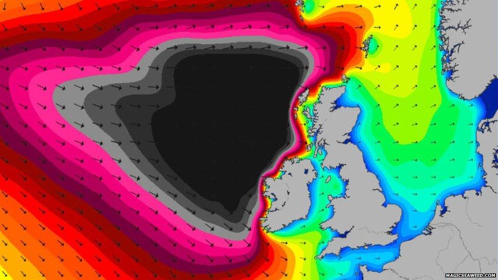
A chart showing swell of up to 40ft for Wednesday
Western Scotland could be battered by strong winds and "unusually high" waves during an Atlantic storm forecast to reach the UK on Wednesday.
The warning is contained in Met Office a yellow be aware warning for the UK, external for Wednesday and Thursday.
Strong winds and frequent wintry showers have also been forecast.
The Western Isles Emergency Planning Coordinating Group has been flagging up the Met Office warning.
Ferry operator Caledonian MacBrayne has warned of disruption to its services.
A spokesman said: "Severe weather warnings have been issued across Scotland, with strong gales and gusts of up to 80mph likely to bring disruption to services across the Calmac ferry network from Monday night through until Thursday.
"Forecast high winds and storm conditions will impact on the normal scheduled sailings."
The RNLI said some of those involved in maritime activities have dubbed Wednesday "Black Wednesday" because of the severity of the conditions forecast.
South Devon-based website Magicseaweed.com produces charts and swell models designed to help surfers pinpoint the best sites to enjoy their pursuit.
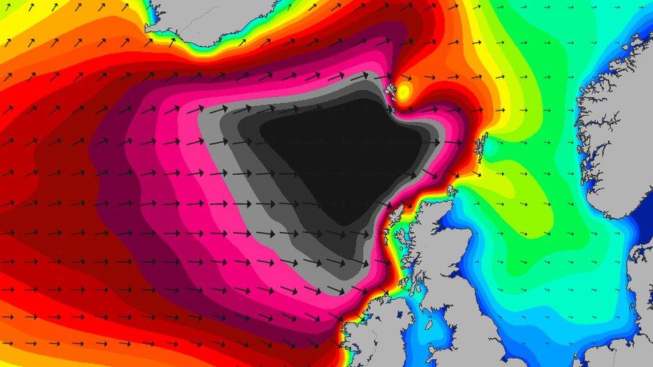
Its swell chart for Wednesday shows a large black area indicating swells of up to 40ft (12m).
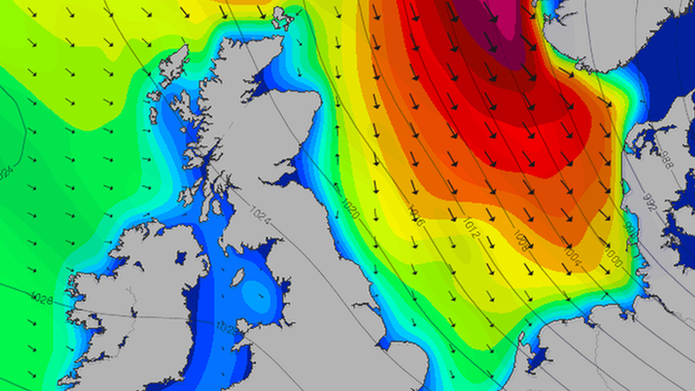
The Atlantic storm has been moving towards the UK from the direction of Greenland and Iceland.
The RNLI was involved in the rescue of a cargo boat that lost power off Cape Wrath overnight.
A spokesman said: "Conditions were challenging and getting worse, around force 7 - near gale.
"With an Atlantic storm tracking towards the north west coast of the UK, Wednesday is already being referred to as 'Black Wednesday'.
"The storm and resulting swell are due to peak sometime on Wednesday or Thursday."
- Published8 December 2014

- Published6 February 2013

- Published6 December 2013
