The course of Storm Abigail in maps
- Published
Be aware - on Tuesday, it was announced that the first storm to be officially named under a new Met Office system has been called Abigail and is heading for the UK.
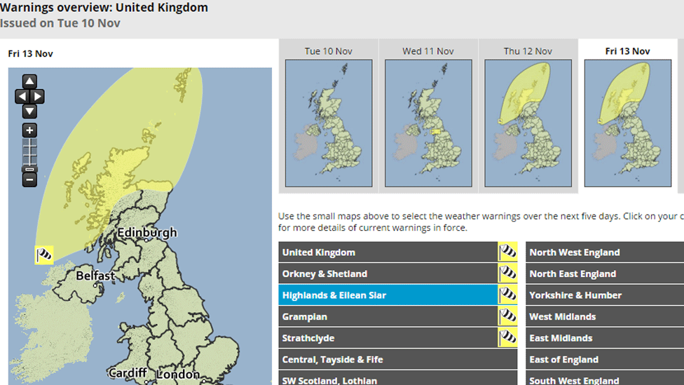
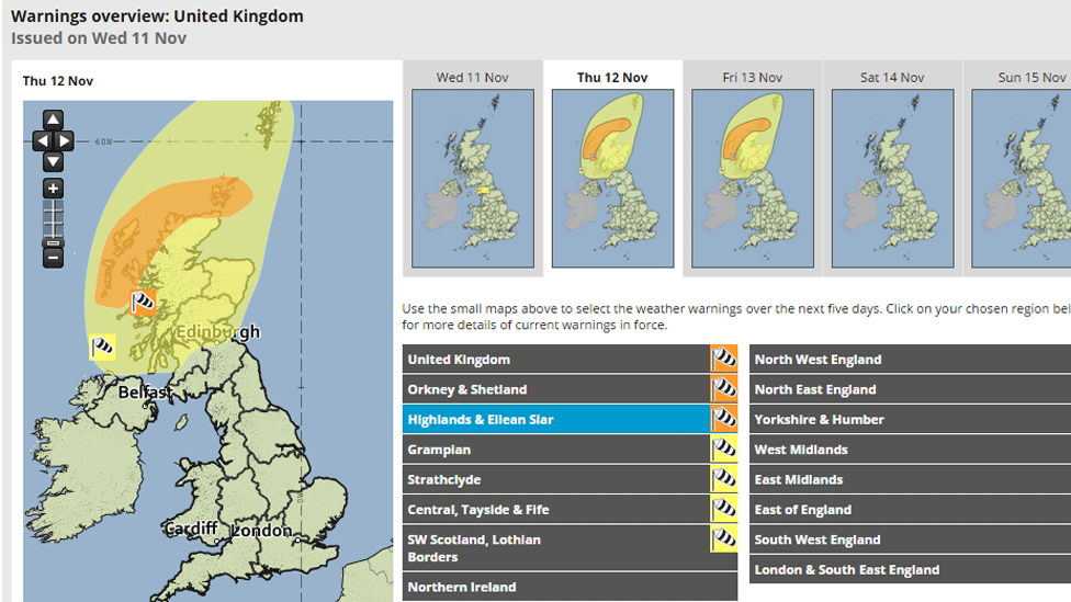
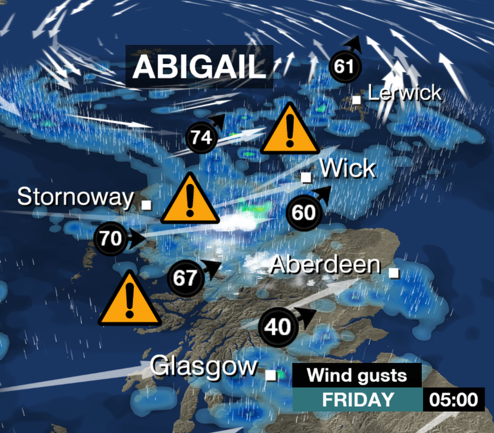
A Yellow warning for parts of the north and west of Scotland was issued, including forecasts of gusts up to 80mph.
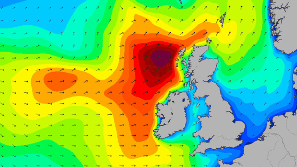
Sea swell charts produced by surfing website Magicseaweed.com, external suggest swells could reach heights of up to 11.5m on Friday.
The weather front qualified as a "named storm" because of its potential to cause disruption and damage.
BBC Weather's John Hammond has the latest on Storm Abigail
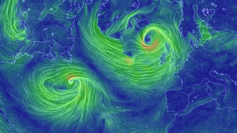
Severe gales are forecast for later on Thursday, through until Friday morning - here visualised on earth.nullschool.net, external.
The warnings associated with Storm Abigail were upgraded to Amber "be prepared" on Wednesday - indicating possible gusts of 90mph in the Highlands and Islands.
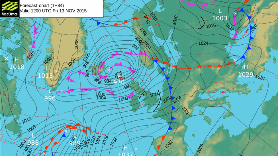
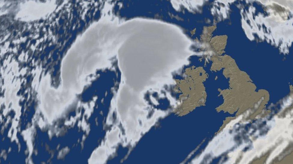
By Thursday morning, Abigail's "hook-shaped" cloud bank was sitting over the North Atlantic.
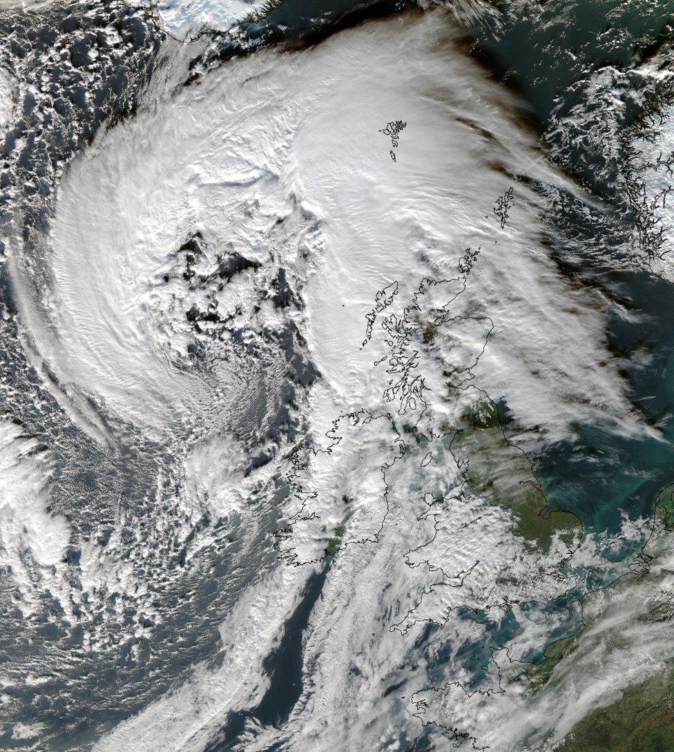
And here is Abigail from space - in an amazing picture from the University of Dundee's satellite receiving station.
The main warning comes into force from about 21:00 on Thursday - and makes for a pretty lively looking weather map for the days ahead.
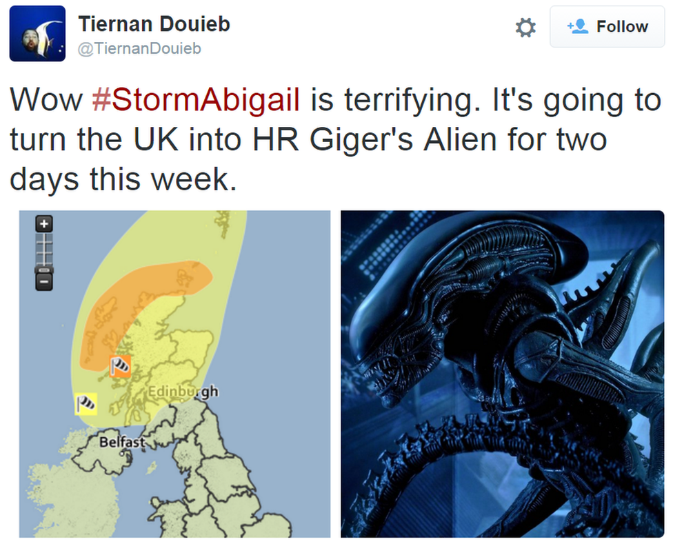
Meanwhile, on Twitter, someone has noticed Abigail's resemblance to something way more menacing, external.
