Cairngorms used in trial of new mapping technique
- Published

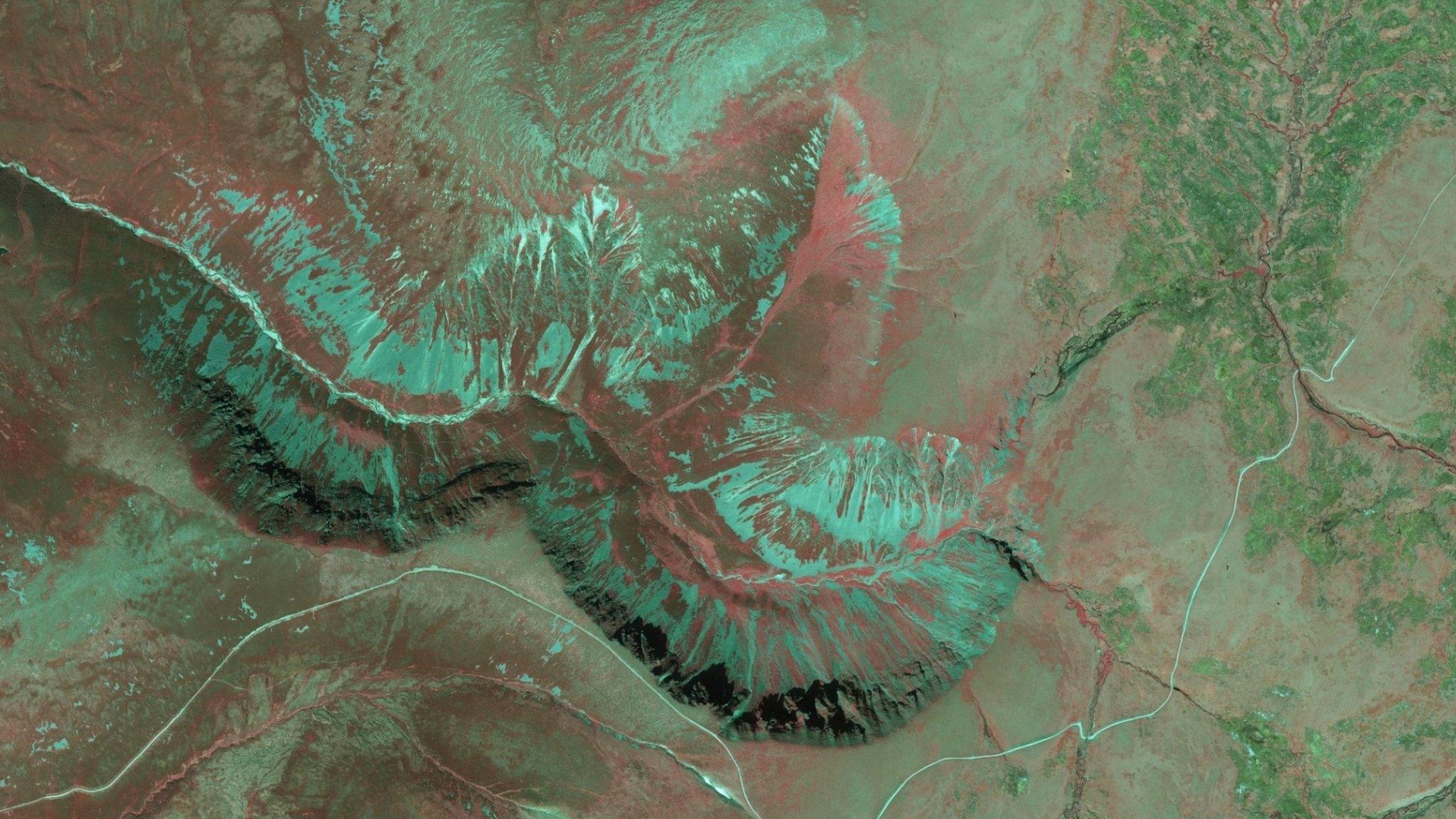
A false colour near-infrared aerial image of Glenfeshie in Cairngorms
A technique used to map habitats in Sweden has been tried out in the Scottish Highlands.
Scottish Natural Heritage (SNH) commissioned an investigation of the use of false colour infrared stereo aerial imagery interpretation.
The small trial looked at an area of Glenfeshie in the Cairngorms.
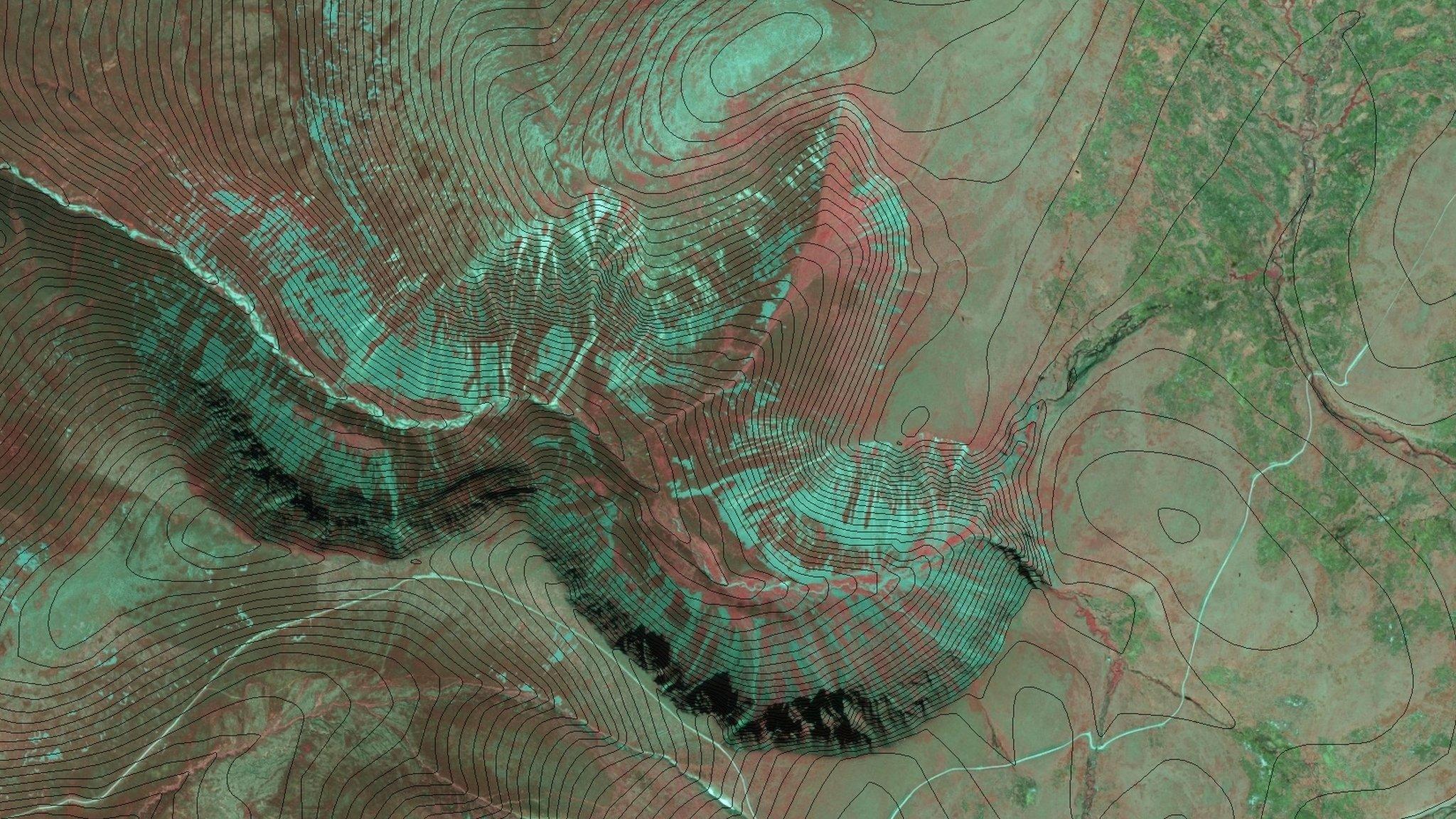
The imagery involves using different colours, textures, layers and other indicators to show habitat such as woodland and also geology.
The method of interpreting landscapes is new to the UK, according to a report for SNH on the results of the Glenfeshie trial.
The report has recommended that the public agency examine the potential for a large scale pilot of the technique.

Colours, textures and layers are used to interpret different habitats