Storm Caroline to hit Scotland followed by snow for wider UK
- Published
- comments

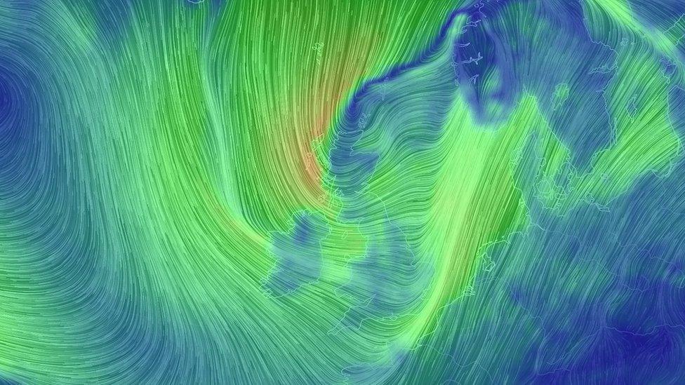
An illustration of expected high winds on Thursday
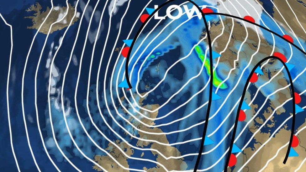
The UK's next named storm has been forecast to hit Scotland on Thursday.
Storm Caroline is expected to see winds gusting to 80mph near north-facing coasts, and reaching speeds of 60 to 70mph more widely in northern and north east Scotland.
The Met Office warned that the conditions could disrupt travel.
Snow and freezing temperatures have been forecast for Scotland, England, Northern Ireland and Wales on Friday and Saturday in the wake of Caroline.
The two previous named storms were Aileen in September and Brian in October.
A yellow "be aware" warning is in place for Scotland, external between 08:00 and 23:55 on Thursday.
Yellow warnings have also been issued by the Met Office for 00:05 Friday to 18:00 Saturday.

The forecast for Thursday includes winds reaching gusts of up 60mph across northern and north east Scotland
The Met Office said snow showers were expected to become increasingly frequent over northern Scotland late on Thursday.
Snow is expected to fall across many other parts of Scotland, Northern Ireland, Wales and western England on Friday, with between 2cm and 5cm likely in some areas.
The Met Office said up to 20cm was possible over high ground, mainly in Scotland, Northern Ireland and Wales.
It added: "Icy surfaces are also likely to be an additional hazard, especially overnight.
"Strong northwest winds may cause drifting of the snow in places, with blizzard conditions possible at times across northern Scotland."

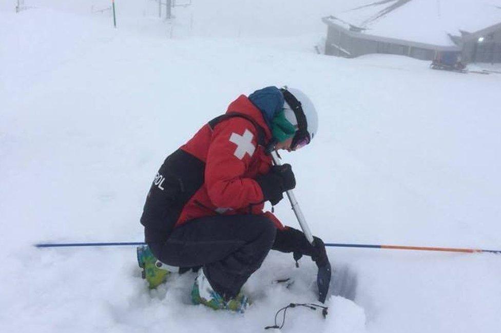
The Cairngorms, including its ski area, have already seen heavy snow falls in recent weeks
The wintry weather follows snow and cold temperatures experienced in parts of Scotland earlier this month.
Aberdeen and parts of Aberdeenshire along with Scotland's mountain ranges, including the Cairngorms and Glen Coe, have already seen heavy snow falls in recent weeks.